

GIScience News Blog
-
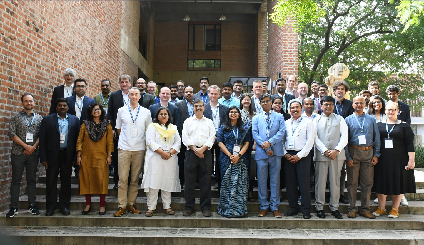
HeiGIT at the International Land Use Symposium in India
HeiGIT Scientific and Managing Director Prof. Dr. Alexander Zipf and HeiGIT Chief Scientist Adj. Prof Dr. Seven Lautenbach attended the 4th International Land Use Symposium at CEPT University in Ahmedabad, India. The symposium was held from 4th – 6th October 2023 under the main theme “Urban Analytics for Transforming Cities and Regions: Tools, Methods and…
-
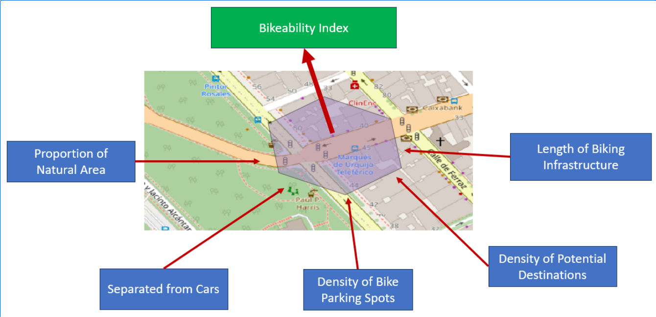
Analyzing Bikeability
For various reasons biking is becoming a more frequently used mode of transportation. It offers flexibility, is quite cheap compared to other modes of transportation, helps with fitness and is almost carbon neutral. To evaluate how well adapted the existing infrastructure is to accommodate biking, Manuel Kraft of HeiGIT created the “Bikeability-Index”. Analyzing Bikeability There…
-
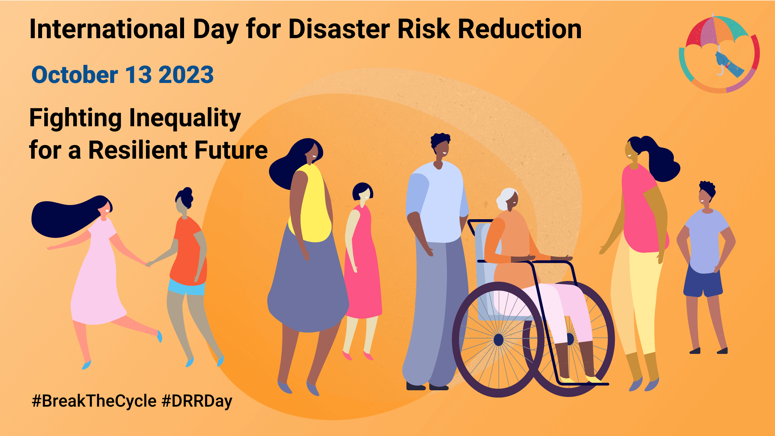
Today is the International Day for Disaster Risk Reduction!
Did you know that October 13th is the International Day for Disaster Risk Reduction (IDDRR)? Since 1989, the United Nations Office for Disaster Risk Reduction promotes a global culture of risk-awareness and disaster reduction on this day and encourages the community to share their events, promotions and ideas regarding disaster risk reduction. Under this year’s…
-
More food, more water, less carbon? Costs andbenefits of global land-use optimality
Re-arranging food production: How we could use the vegetation zones on our planet more efficiently Imagine we could almost double the amount of crops we grow on our planet, while at the same time increasing the freshwater supplies and carbon storage! Tell you what: We actually could, if we re-arranged the location of food production…
-
SketchMapTool Enters Next Phase with Funding from German Red Cross and German Federal Foreign Office
The Sketch MapTool (SMT) is entering its next project phase thanks to support from the German Red Cross (GRC) and the German Federal Foreign Office. In this phase, our main goals are enhancing the tool’s stability and marking detection, as well as expanding the current features, adding new languages and satellite imagery as base maps.…
-
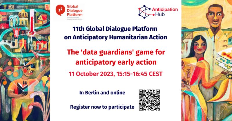
HeiGIT at the 11th Global Dialogue Platform on Anticipatory Humanitarian Action
In October 2023, the 11th Global Dialogue Platform on Anticipatory Humanitarian Action will take place as a hybrid event in Berlin, allowing for people to attend either in person or online (register here). Under this year’s main theme “People at the centre: scaling up anticipatory action”, the platform offers a plethora of workshops and discussion…
-
Prof. Dr. Alexander Zipf hält Vortrag zum Thema “Klimaschutz und humanitäre Hilfe: Unterstützung aus der Geoinformatik”
Am 23. September 2023 hält Herr Prof. Dr. Alexander Zipf, Scientific and Managing Director bei HeiGIT und Professor für Geoinformatik / GIScience (GIS) an der Universität Heidelberg, einen Vortrag zum Thema “Klimaschutz und humanitäre Hilfe: Unterstützung aus der Geoinformatik”. Staatliche Institutionen und humanitäre Organisationen benötigen möglichst detaillierte Informationen zur Lage und Situation vor Ort. Nur…
-
HeiGIT at the GIScience Conference in Leeds
HeiGIT and GIScience members Adam Rousell, Anne Schauss, Christina Ludwig and Nir Fulman were invited to present their work at the 12th International Conference on Geographic Information Science in Leeds. The conference took place from September 12-15. The first day was dedicated to workshops and tutorials, while short and full papers, as well as posters…
-
HeiGIT contributes to German Congress for Geography and Young Congress for Geography 2023
From 19th until 23th September 2023 the 62nd German Congress for Geography (DKG) and Young Congress for Geography (JGK) will take place at the Goethe-Universität Frankfurt. The congress under the motto “Planetary Futures” aims to become a lively and vibrant place for scientific exchange on current issues, important research questions and societal problems. HeiGIT will contribute with…
-
Kick-off: AImon5.0 – Real-time monitoring of gravitational mass movements for critical infrastructure risk management with AI-assisted 3D metrology
In September 2023, our new research project AImon5.0 has been kicked-off. In this project the open-source frameworks HELIOS++ and py4dgeo of the 3DGeo research group will be combined to enhance current approaches for operational risk monitoring. AImon5.0 is an interdisciplinary collaboration project of the 3DGeo research group with DMT GmbH & Co. KG (project leader),…
-
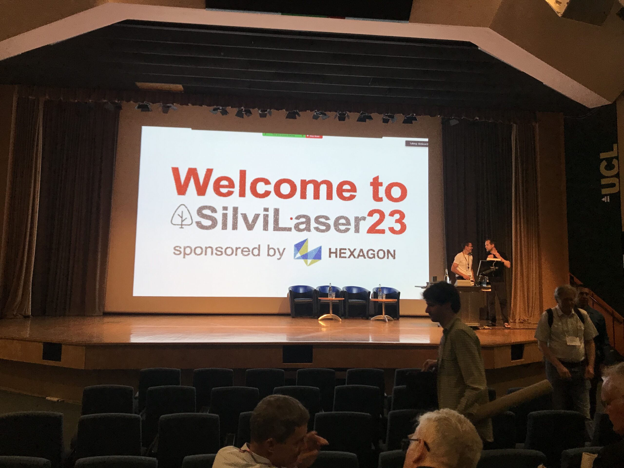
Impressions from Silvilaser 2023
Last week, our PhD student, Hannah Weiser, joined Silvilaser 2023 at University College London (UCL). The conference covers cutting-edge science and technology from the laser scanning and forest communities, which is a perfect match for Hannah’s PhD topic and 3DGeo research in general. The week started off with interesting workshops on Tuesday using some of…
-
Expanding Disaster Management Capabilities with openrouteservice
In the context of disaster management, time is of the essence. Quick and accurate response can make all the difference in saving lives and mitigating damage. That’s why the openrouteservice (ORS) for Disaster Management is taking a step forward by expanding its coverage to larger areas. This upgrade is set to improve the possibilities of…
3D 3DGEO Big Spatial Data CAP4Access Climate Change Conference crisis mapping Crowdsourcing data quality deep learning disaster DisasterMapping GIScience heigit HELIOS HOT humanitarian humanitarian mapping Humanitarian OpenStreetMap team intrinsic quality analysis landuse laser scanning Lidar machine-learning Mapathon MapSwipe Missing Maps MissingMaps ohsome ohsome example Open data openrouteservice Open Source OpenStreetMap OSM OSM History Analytics Public Health quality analysis remote sensing routing social media spatial analysis Teaching VGI Workshop