

Tag: HOT
-
World Humanitarian Day – How Maps can Help Aid Workers
August 19th marks World Humanitarian Day (WHD) to recognize the efforts of humanitarian workers and to advocate for the survival, well-being and dignity of people affected by crises, and for the safety and security of aid workers. One of many factors that are essential for effective humanitarian response and the security of people on site…
-
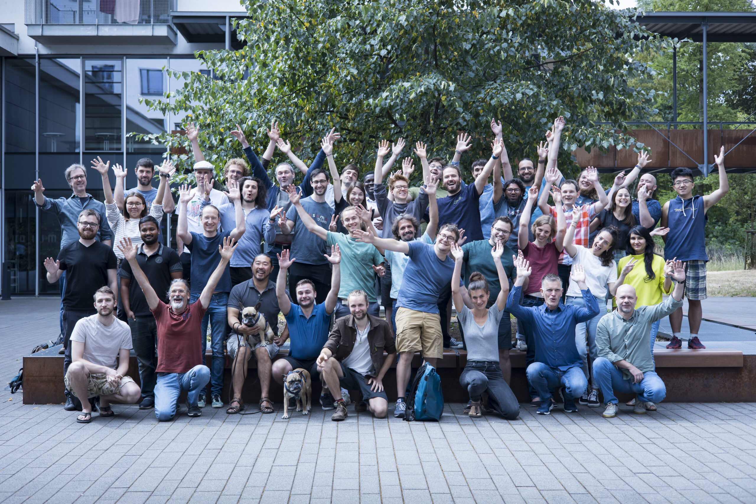
HeiGIT’s 5 Years Milestone: Looking Back at our Achievements
HeiGIT is celebrating its fifth anniversary today, July 1st! To commemorate this occasion, we invite you to join us on a little walk down memory lane. As we reflect on our achievements and the milestones we have reached, we want to express our deepest gratitude to the partners, projects and people that have made our…
-
The new MapSwipe Web App is here!
No matter where you are or which device you are using, you can now do voluntary work and make a difference, all from your browser with MapSwipe Web App! Since 2015, MapSwipe has harnessed the collective force of volunteers to actively contribute to geoinformation-related projects. In science and in fields such as city and traffic…
-
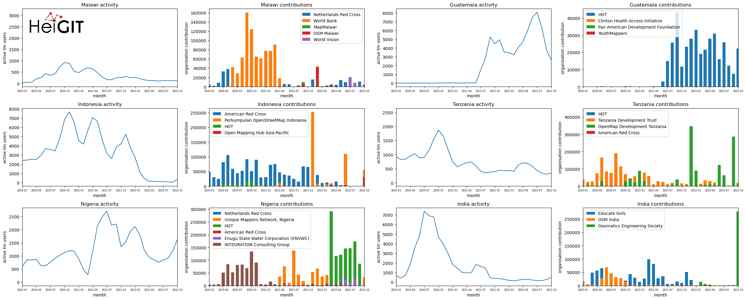
Analysis of Humanitarian OSM Stats: User activity through HOT-TM and contributing organizations
Introduction In this blogpost we are taking a look at humanitarian mapping through the Tasking Manager (HOT-TM) that is operated by the Humanitarian OpenStreetMap Team (HOT). At HeiGIT we work together with HOT to provide analyses and statistics to further understand mapping activity. Explore the user and mapping stats of all Tasking Manager activites here. Check our blog posts about topics…
-
GIScience and HeiGIT at SotM 2022
We are happy to announce that, this year, GIScience and HeiGIT has had four contributions to the FOSS-Community “conferencathon” in Florence. As QGIS-Meeting, State of the Map, HOT unSummit and FOSS4G all took place consecutively, the schedule was shaping up to be extremely packed. We’d like to highlight some specific events and topics that you…
-
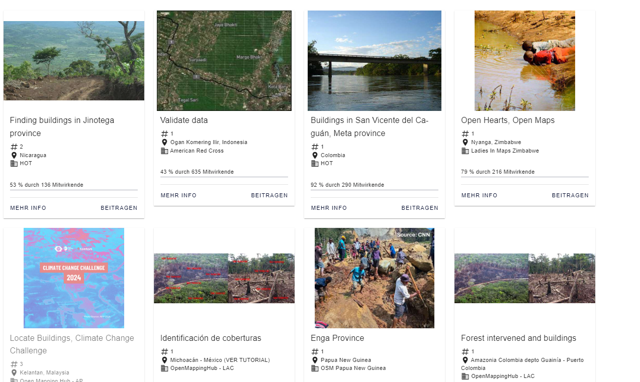
Monitoring OSM and Tasking Manager to Map 1 Billion
In 2020, the Humanitarian OpenStreetMap Team (HOT) received funding from seven donors through TED’s Audacious Project. This has accelerated HOT’s ambition to map an area home to one billion people. HOT is working to add places at high risk of natural disaster or experiencing poverty to OpenStreetMap by significantly scaling-up support for local mapping communities.…
-
Updated OSM Healthcare in Senegal (2020)
OpenStreetMap (OSM) offers many possibilities and holds potential in the area of freely available infrastructure data for the health sector. Nevertheless, it is important to underline that the quality of the information is different in each country, since the mapping activity is strongly affected by the size of the community of volunteers. Monetary barriers prevent…
-
Disastermappers Heidelberg International Mapathon on December 8th
On December 8th at 6.30 pm the next international mapathon organized by the disastermappers heidelberg takes place! This time we map together with MAMAPA, an integration project for migrants and refugees from Mannheim, CartONG, LECLARA Larabanga and OSM Ghana. We will map HOT-Tasks 8839 and 9928, the former including the city of Wa in northwestern…
-
HeiGIT participates at virtual HOT Summit 2020
Next week the HOT Summit will take place. The conference takes already place for the sixth time and it is the fifth consecutive time that we from HeiGIT/GIScience Heidelberg do contribute a session. This years topic is 10 Years of Humanitarian OpenStreetMap: The Past, Present, and Future of Humanitarian Mapping. It will be a one day…
-
Exploring Localness of OSM Data – An analysis using the ohsome API
“Local Knowledge” is constituting the exceptional value of Volunteered Geographical Information and thus also considered as an important indicator of data quality. We are interested in how much local information is captured in OpenStreetMap data. In this blog post we explore the temporal evolution of mapping in OSM and the information stored in its database,…
-
One step forward for “25 Mapathons” – today Online Mapathon at Humanitarian Congress
The project “25 Mapathons” made an important step forward by successfully completing the first four Mapathons of the project. Two Mapathons were conducted with German Red Cross (GRC) members from the Red Cross Regional association of Westfalen-Lippe. Another two Mapathons where hosted by local GRC chapters from the City of Heidelberg and the nearby town…
-
Introducing the humstats.heigit.org dashboard about Humanitarian Mapping in OpenStreetMap
Since 2010 organized humanitarian mapping has evolved as a constant and growing element of the global OpenStreetMap (OSM) community. With more than 7,000 projects in 150 countries humanitarian mapping has become a global community effort. Mappers have added more than 60 Million buildings to OSM through HOT’s Tasking Manager. That’s around 13% of all OSM…