
Tag: Open data
-
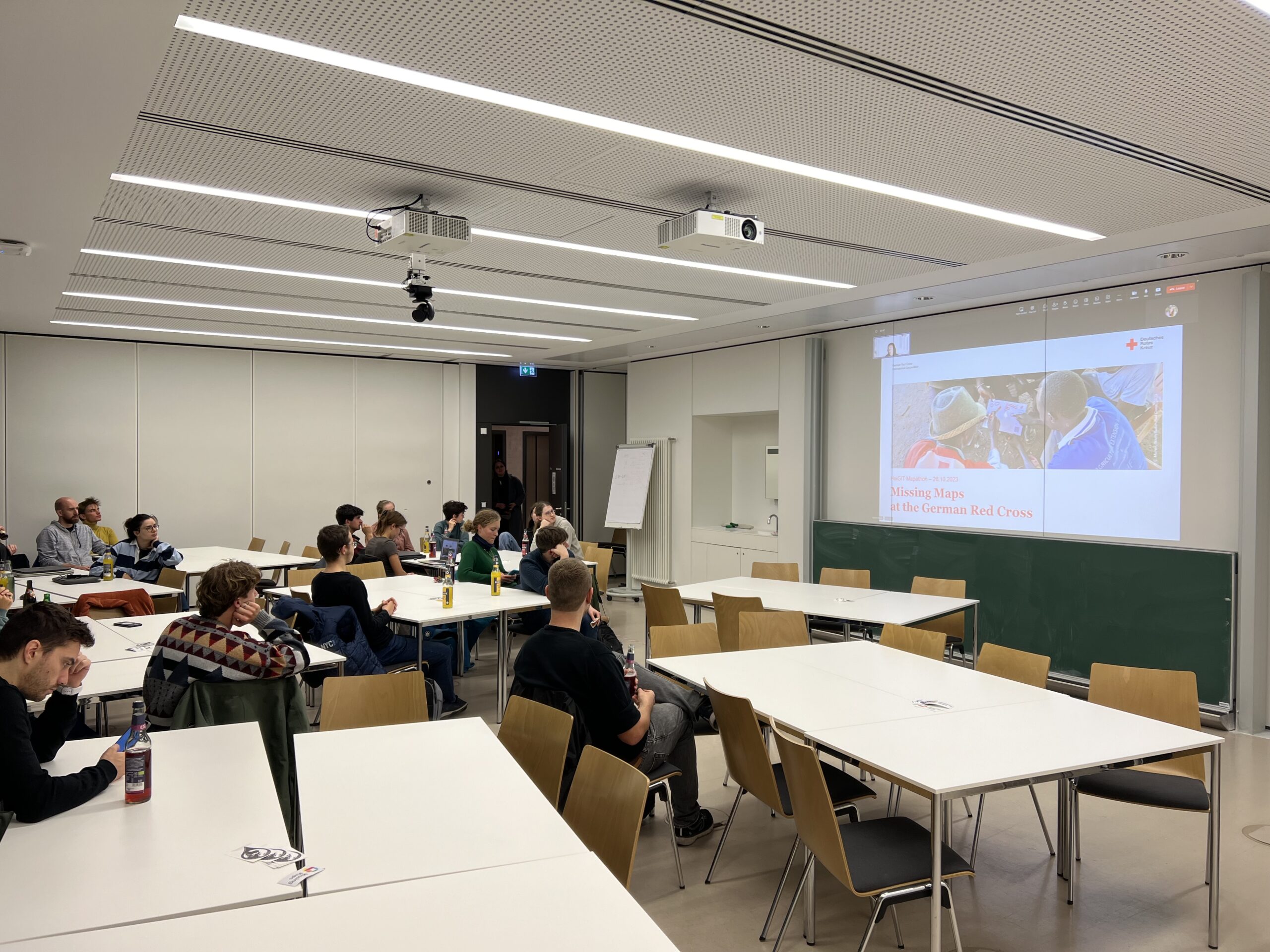
A Successful Mapathon
We hosted a Mapathon on Thursday, the 26th of October, which saw the participation of students and researchers alike. We started mapping after a short introduction talk by Isabell Klipper on the usage of such data for example for the Sketch Map Tool. Around 30 participants collectively mapped about 4.000 buildings in Herat, Afghanistan, providing…
-
Private Vehicles Greenhouse Gas Emission Estimation at Street Level for Berlin Based on Open Data
Since the transportation sector is one of the major greenhouse gas (GHG) emitters that has not seen significant emission reductions in the last decades, it requires special attention from policymakers. However, estimations of traffic emissions often rely on huge amounts of actual traffic data whose availability is limited. Therefore, Ulrich et al. now propose an…
-
Data publication: Point clouds of snow-on and snow-off forest site
A new dataset of UAV and terrestrial laser scanning point clouds of snow-on and snow-off conditions at a Black Forest site (Hundseck, 48.643°N, 8.228°E) was published open access: Winiwarter, L., Anders, K., Battuvshin, G., Menzel, L. & Höfle, B. (2023): UAV laser scanning and terrestrial laser scanning point clouds of snow-on and snow-off conditions of…
-
Open Data: Multi-platform point clouds and orthophotos of the inland dune in Sandhausen
The commune Sandhausen (Baden-Württemberg) got its name from the inland dune, which is located in the area of the village. In 2021 and 2022, the 3DGeo group of Heidelberg University conducted UAV-based and ground-based surveys of three areas of the inland dune of Sandhausen to acquire 3D point clouds and orthophotos. The dataset is freely and…
-
Data description paper: Individual tree point clouds and tree measurements from multi-platform laser scanning in German forests
New data description paper on our tree point cloud dataset was just published Today, our data description paper was published in the open access Journal Earth System Science Data: Weiser, H., Schäfer, J., Winiwarter, L., Krašovec, N., Fassnacht, F. E., and Höfle, B. (2022): Individual tree point clouds and tree measurements from multi-platform laser scanning…
-
New Paper and Data: 4D Point Clouds of a Beach-Dune System
A new data article on “A high-resolution 4D terrestrial laser scan dataset of the Kijkduin beach-dune system, The Netherlands” was just published in Scientific Data. Along with the fully openly available dataset, the article presents insights into the importance of frequent and spatially detailed surface measurements – and what to do with them. Get directly…
-
New paper on “improving change analysis with full temporal information”
In recently published work, we show how change analysis from near-continuous 3D time series improves by considering full temporal information. How can it be done? Using 4D objects-by-change! The method was applied to an hourly time series of terrestrial laser scans acquired for snow cover monitoring. In the snow-covered scene at the Zugspitze ski resort,…
-
A basic guide to OSM data filtering
Working with OpenStreetMap data is an exciting topic that often reveals astonishing insights. The free and open nature of the project allows a plethora of analyses topics. We at HeiGIT often concentrate on global quantitative analyses and visualisations powered by the ohsome framework. But our tools also enable you to gain more detailed, multifaceted or…
-
Job Offer: Senior Science Manager — Innovation & Research Manager GIScience (m, f, d), 100%, permanent
Du willst Deine Management- und Forschungsexpertise zum Wohle der Gesellschaft und Umwelt einsetzen? Du willst HeiGIT dabei unterstützen die Verfügbarkeit und Qualität von Geodaten zu verbessern und Geoinformatik-Methoden weiterzuentwickeln, die für offene, gemeinnützige Anwendungen im Bereich Nachhaltigkeit, Mobilität und humanitäre Hilfe eingesetzt werden? Das ist unsere Mission! Die HeiGIT gGmbH ist ein forschungsorientiertes, gemeinnütziges Start-up…
-
Job Offer: “Lead: Geo Machine Learning for Good” Senior Spatial Data Science Expert (m, f, d) 100% permanent, HeiGIT gGmbH
Job advertisement HeiGIT gGmbH Do you want to use your machine learning expertise for the benefit of society and the environment? Do you want to improve the availability and quality of geospatial data and further develop geoinformatics methods used for open, non-profit applications in the field of sustainability, mobility and humanitarian aid? That’s our mission…
-
New paper: Opaque voxel-based tree models for virtual laser scanning in forestry applications
In the SYSSIFOSS project, we are investigating how we can take advantage of virtual laser scanning (VLS), the simulation of laser scanning in a computer environment, in forestry applications. These applications include survey planning and optimization, sensitivity analyses, and algorithm development. For example, VLS may be used to investigate the influence of different sensor and…
-
Open laser scanning data of trees – SYSSIFOSS project
Our forest laser scanning dataset collected in the frame of the SYSSIFOSS project is now openly available through the PANGAEA Data Publisher: Weiser, H., Schäfer, J., Winiwarter, L., et al. (2021): Terrestrial, UAV-borne and airborne laser scanning point clouds of central European forest plots, Germany, with extracted individual trees and manual forest inventory measurements. PANGAEA,…