

Tag: heigit
-

Announcing openrouteservice version 9.0.0: codename “Europa”
We are proud to announce the release of openrouteservice version 9.0.0, codename “Europa”. In this release, there are a number of new features that make running your own instance a whole lot easier, and some changes that improve the general routing results. For our API users, this release will not mean much, as just a…
-

Meet HeiGIT and Discover Our AI and Anticipatory Action Related Projects at the Global Dialogue Platform in Berlin
Join us at this year’s Global Dialogue Platform on Anticipatory Humanitarian Action, themed “Mainstreaming Anticipatory Action: Collaboration in Complex Contexts.” This topic has been a focal point for HeiGIT over the past few years, and its prominence as the core theme of this year’s event underscores its relevance in today’s humanitarian landscape. How can we best…
-
Analysis of OSM building data completeness using new data
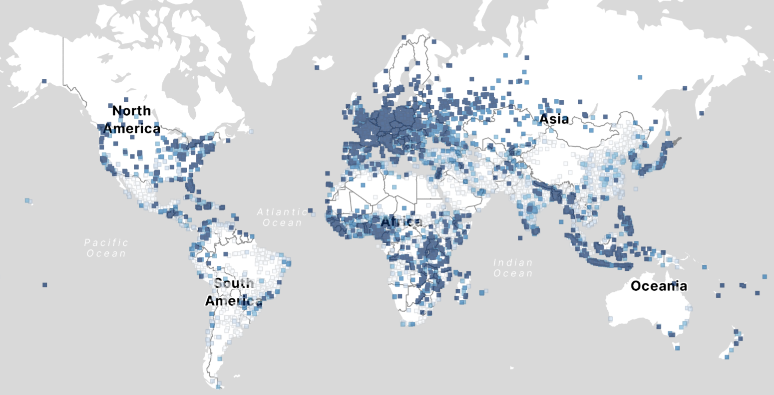
With thousands of people mapping in OSM every day, missing building data in urban centers is steadily decreasing. Since OSM is a widely used source for projects researching urban phenomena around the world, a good data quality and an even distribution are important factors. If a spatial bias is present but not accounted for, researchers…
-

HeiGIT at FOSSGIS 2024
We’re proud to share our recent conference experience with you! Our HeiGIT Product Owners for Big Data and Smart Mobility, Benjamin Herfort and Julian Psotta, had the privilege of attending the FOSSGIS 2024 conference, where they contributed valuable insights and expertise. The results of an exciting six years of joint work and shared projects between HeiGIT and the Federal Agency for Cartography…
-
GeoPrompt – Revolutionizing Navigation and Beyond: HeiGIT’s Innovative Web Application Powered by ChatGPT
Introduction In an era where technology continuously reshapes our world, the fusion of artificial intelligence and geospatial data offers exciting possibilities. HeiGIT (Heidelberg Institute for Geoinformation Technology), a pioneering research organization, has unveiled a novel web application that not only simplifies navigation but also empowers users to access a wealth of location-based data. This proof-of-concept…
-
HeiGIT bei den XP Days Germany 2023
Am 5. und 6. Oktober 2023 hat in Frankfurt am Main die XP Days Germany 2023 stattgefunden, eine offene Konferenz für Agile Softwareentwicklung und Extreme Programming mit Fokus auf Softwareentwicklungsthemen. Während der Konferenz konnten Teilnehmende in Vorträgen, Workshops und Diskussionsrunden ihr Wissen über Softwareentwicklung erweitern. Da zur Softwareentwicklung auch das Teambuilding dazugehört, haben Johannes Link…
-
More food, more water, less carbon? Costs andbenefits of global land-use optimality
Re-arranging food production: How we could use the vegetation zones on our planet more efficiently Imagine we could almost double the amount of crops we grow on our planet, while at the same time increasing the freshwater supplies and carbon storage! Tell you what: We actually could, if we re-arranged the location of food production…
-
SketchMapTool Enters Next Phase with Funding from German Red Cross and German Federal Foreign Office
The Sketch MapTool (SMT) is entering its next project phase thanks to support from the German Red Cross (GRC) and the German Federal Foreign Office. In this phase, our main goals are enhancing the tool’s stability and marking detection, as well as expanding the current features, adding new languages and satellite imagery as base maps.…
-
Expanding Disaster Management Capabilities with openrouteservice
In the context of disaster management, time is of the essence. Quick and accurate response can make all the difference in saving lives and mitigating damage. That’s why the openrouteservice (ORS) for Disaster Management is taking a step forward by expanding its coverage to larger areas. This upgrade is set to improve the possibilities of…
-
HeiGITs Disaster Portal in Radiobeitrag vorgestellt
Campusreporter Nils Birschmann hat mit Prof. Alexander Zipf über unser Disaster Portal gesprochen. Das Interview wurde über Radio Regenbogen ausgestrahlt. Hier könnt ihr euch den Beitrag in voller Länge anhören: Audiobeitrag: Das Disaster Portal – sichere und schnell verfügbare Datengrundlagen im Katastrophenfall Darum geht’s: Im Katastrophenfall sind Hilfskräfte auf aktuelle Ortsdaten der betroffenen Region angewiesen: Welche…
-
Visualizing OQT API Results in QGIS
Using the ohsome dashboard, it is possible to explore quality estimation for OpenStreetMap (OSM) data from the ohsome quality analyst (OQT) for arbitrary regions. Also, OQT does provide an API to programmatically fetch quality estimation for a lot of different regions in one request. Chances are that one wants to visualize the results on a…
-
Recap Road Quality Mapathon
Last Monday, on July 31st, we hosted a road quality mapathon, which saw the participation of students and researchers alike. Their collective efforts led to the classification of nearly 50% of all the pre-selected road pictures in 34 African countries. These valuable data points will be instrumental in training machine learning algorithms to identify paved…