

GIScience News Blog
-

Unveiling the HeiGIT Climate Action Navigator Part 5 – Land Consumption
In May this year we officially launched the Climate Action Navigator (CAN): HeiGIT’s new dashboard offering high-resolution, open data-based insights into key climate action indicators. From assessing CO2 emissions from residential heating to urban active mobility infrastructure, CAN helps identify where targeted action is most urgently needed. In this fifth post of our blogpost series,…
-

Silver Ways & Travel Diaries: Mapping Age-Friendly Routes with Sketch Map Tool
The Silver Ways project aims to make it easier for older adults to get around cities by creating a routing system targeted to their needs. To ground this system in lived experience, the team conducted a series of workshops with elderly groups across Mannheim. The Silver Ways project develops a routing system that is designed…
-

HGG Lecture – Multifunctional Forestry between the Rhine Valley and Tauberland – Adaptation Strategies in Climate Change
The Heidelberg Geographical Society (HGG) begins its open lecture series for the winter term 2025/2026
-

HeiGIT at International Land Use Symposium 2025
HeiGIT will participate in this year’s International Land Use Symposium in Dresden, Germany (November 6-7). The conference brings together theoretical, methodological and practitioners to discuss how spatial insights can advance research, planning and policy.
-
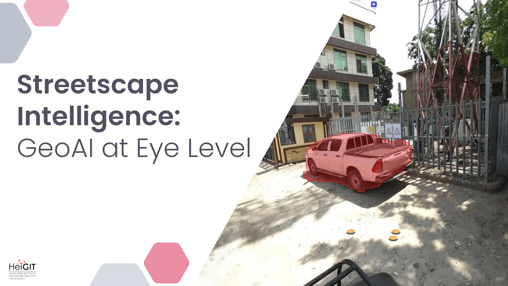
Streetscape Intelligence: GeoAI at Eye Level
Crowdsourced street-level imagery can be used to detect and map humanitarian-relevant features in near real time. We have developed a machine-learning-based analytical pipeline that integrates with the open-source imagery catalogue Panoramax to support a more flexible disaster response and urban monitoring, especially in underserved regions. This blog article was originally posted on Medium by Maciej Adamiak, machine…
-
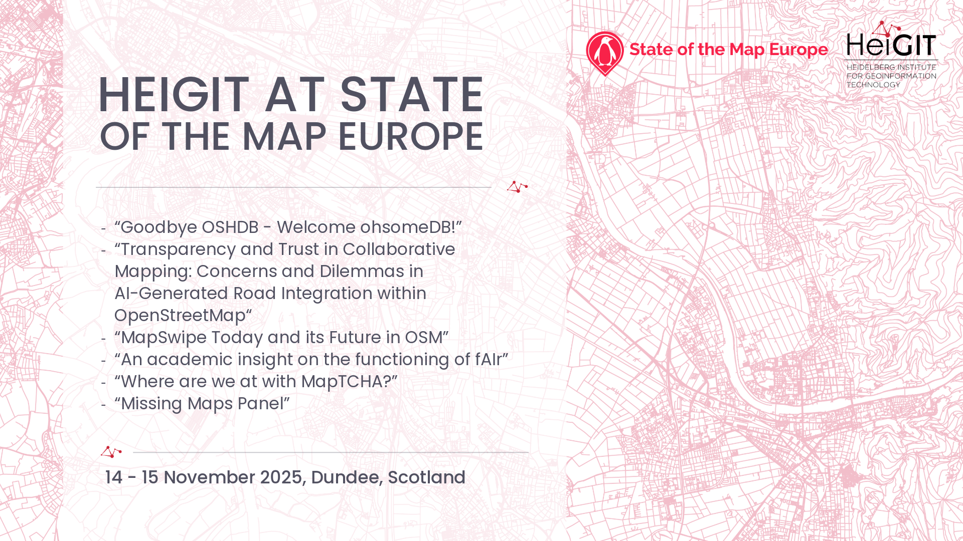
HeiGIT at State of the Map Europe
The conference brings together experts, developers, and enthusiasts of open data for two days of talks, workshops, and discussions. HeiGIT will contribute with several different sessions covering a range of topics. “Goodbye OSHDB – Welcome ohsomeDB!” – Benjamin Herfort Friday, November 14, 11:00 AM We will introduce ohsomeDB, the new successor of the OpenStreetMap History…
-
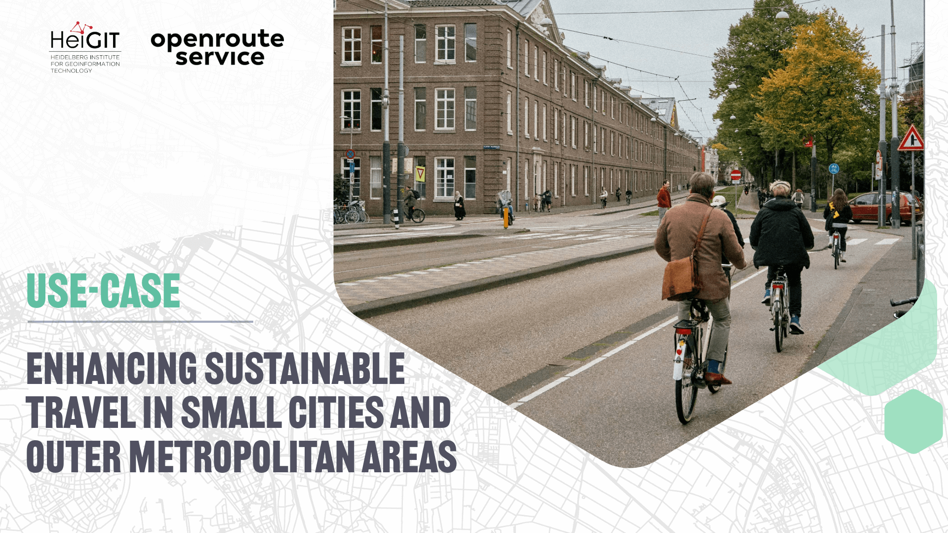
openrouteservice use-case: enhancing sustainable travel in small cities and outer metropolitan areas
The ENHANCE project explores how 15-minute city principles can be applied beyond dense urban hubs, using mapping, behavioral research, and simulation tools to design more sustainable and inclusive mobility systems. The ENHANCE project, funded by Driving Urban Transitions to a Sustainable Future (DUT) under JPI Urban Europe, addresses the challenges of implementing 15-minute city (15mC)…
-
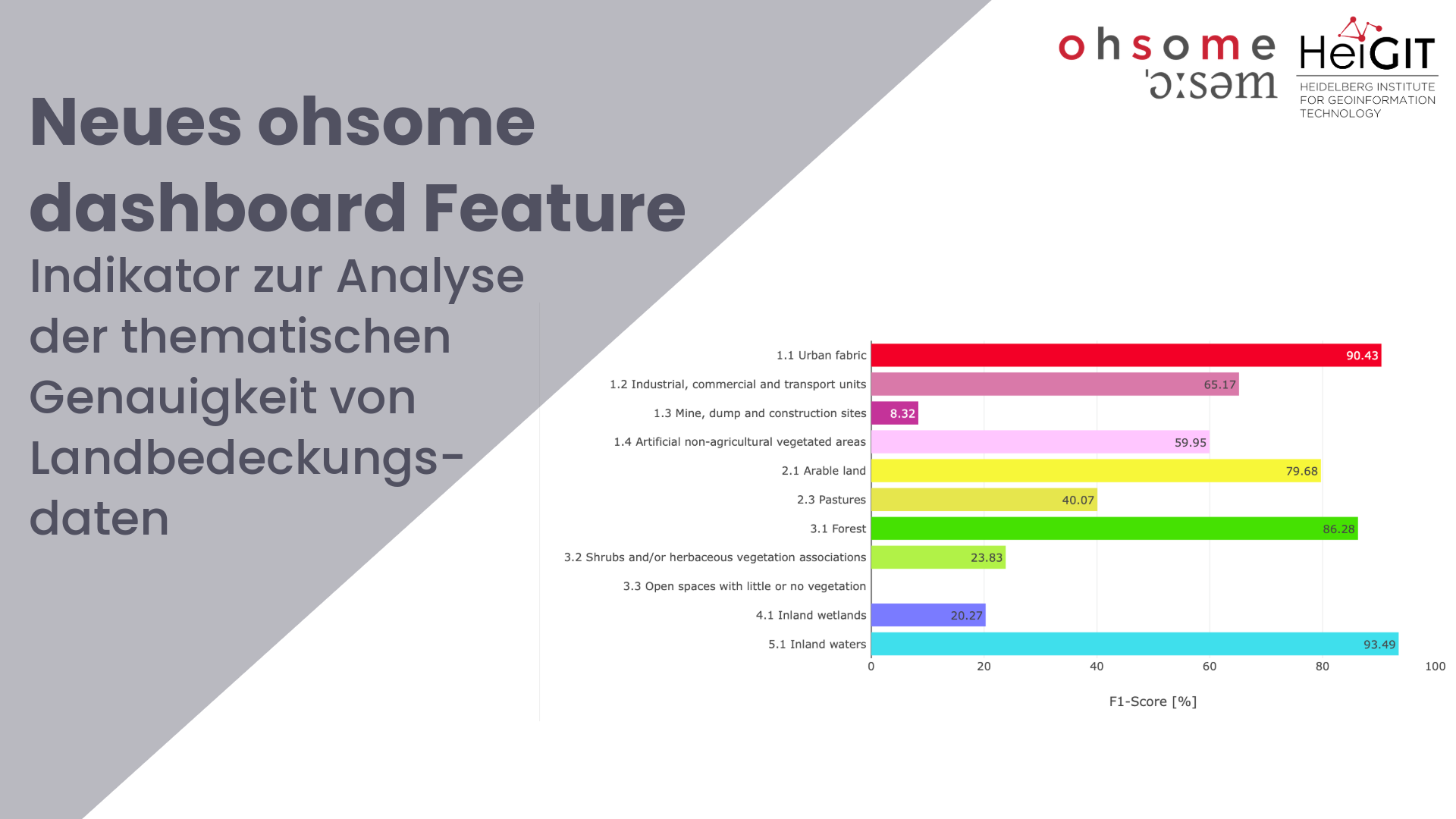
Enhancing OSM Data Quality Analysis: Thematic Accuracy of Land Cover in the ohsome Dashboard
Together with the German Federal Agency for Cartography and Geodesy (BKG) we released a new version of the ohsome dashboard, introducing a new indicator for assessing the thematic accuracy of land cover data in OpenStreetMap (OSM). This development is part of a broader project together with BKG on OSM data quality evaluation. New indicator: Thematic…
-
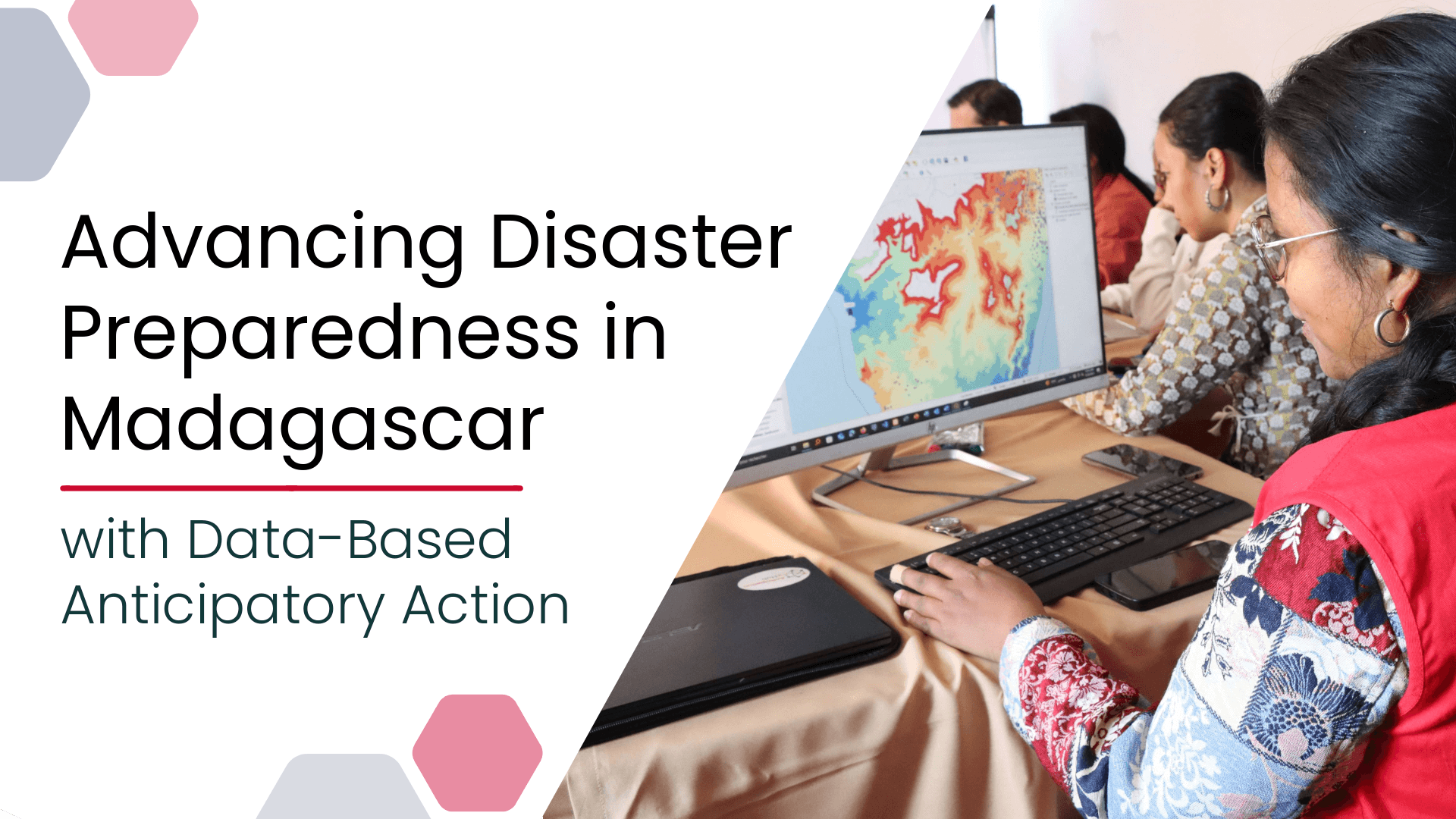
Advancing Disaster Preparedness in Madagascar with Data-Based Anticipatory Action
Anticipatory Action (AA) is becoming an increasingly vital approach in humanitarian and disaster risk management. By leveraging forecasts and risk data, AA enables timely interventions before extreme events occur. Geoinformation technologies play a key role in operationalizing this approach. In Madagascar, where cyclones regularly cause widespread damage, HeiGIT has been working with Croix-Rouge Malagasy (CRM,…
-
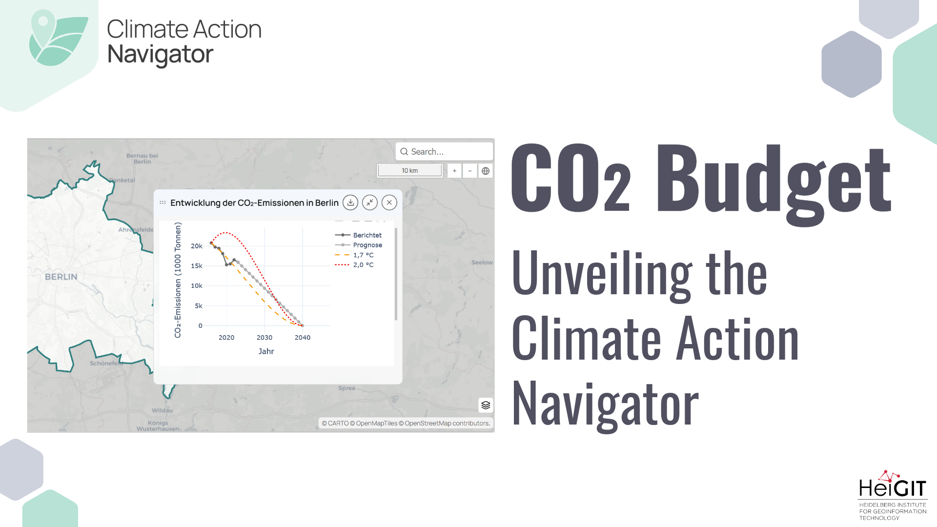
Unveiling the Climate Action Navigator Part 5 – CO₂ Budget
Thanks to the newest addition to the Climate Action Navigator, it is now possible to calculate the remaining CO₂ budget for several German cities (Berlin, Bonn, Hamburg, Heidelberg, and Karlsruhe) to stay within certain global warming limits (e.g. +1,5°C). The CO₂ Budget assessment tool also tracks if the city is on the right track to…
-
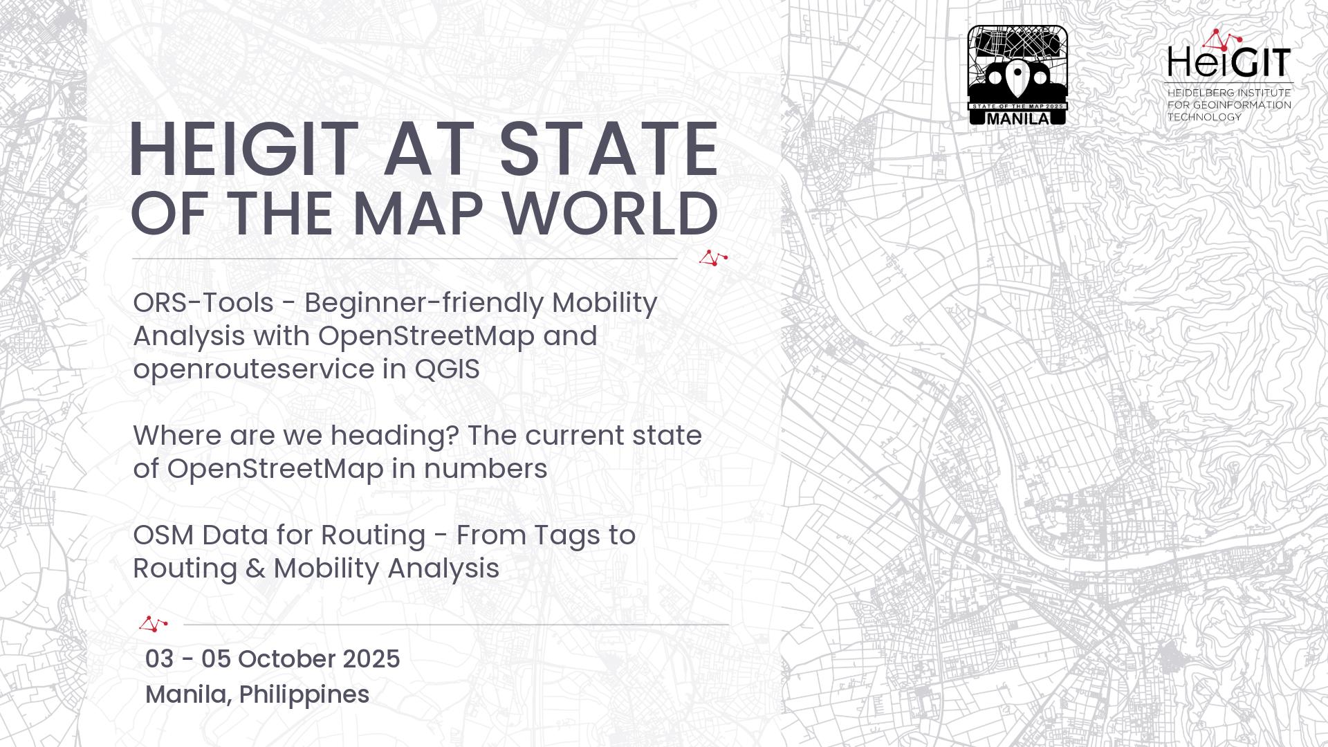
HeiGIT at State of the Map World
State of the Map World is the annual event for all mappers and OpenStreetMap users. The program consists of talks, workshops, discussion rounds and more. HeiGIT is taking part with three different contributions. ORS-Tools – Beginner-friendly Mobility Analysis with OpenStreetMap and openrouteservice in QGIS – Julian Psotta, Benjamin Herfort Friday, 11:30 (60 minutes (plus Q&A)); Room:…
-
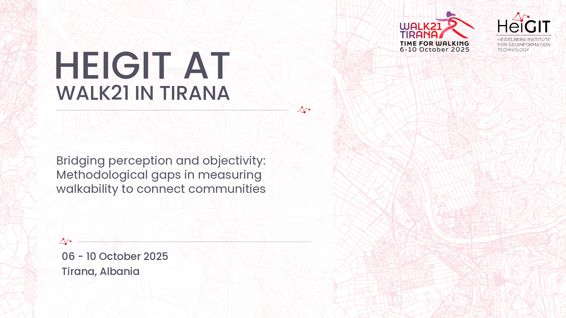
HeiGIT at Walk21
The 25th International Walk21 Conference on Walking and Livable Communities will take place from 6 – 10 October in Tirana, hosted by the Municipality of Tirana in partnership with GIZ Albania.
3D 3DGEO Big Spatial Data CAP4Access Climate Change Conference crisis mapping Crowdsourcing data quality deep learning disaster DisasterMapping GIScience heigit HELIOS HOT humanitarian humanitarian mapping Humanitarian OpenStreetMap team intrinsic quality analysis landuse laser scanning Lidar machine-learning Mapathon MapSwipe Missing Maps MissingMaps ohsome ohsome example Open data openrouteservice Open Source OpenStreetMap OSM OSM History Analytics Public Health quality analysis remote sensing routing social media spatial analysis Teaching VGI Workshop