

Tag: disaster
-

Meet HeiGIT and Discover Our AI and Anticipatory Action Related Projects at the Global Dialogue Platform in Berlin
Join us at this year’s Global Dialogue Platform on Anticipatory Humanitarian Action, themed “Mainstreaming Anticipatory Action: Collaboration in Complex Contexts.” This topic has been a focal point for HeiGIT over the past few years, and its prominence as the core theme of this year’s event underscores its relevance in today’s humanitarian landscape. How can we best…
-
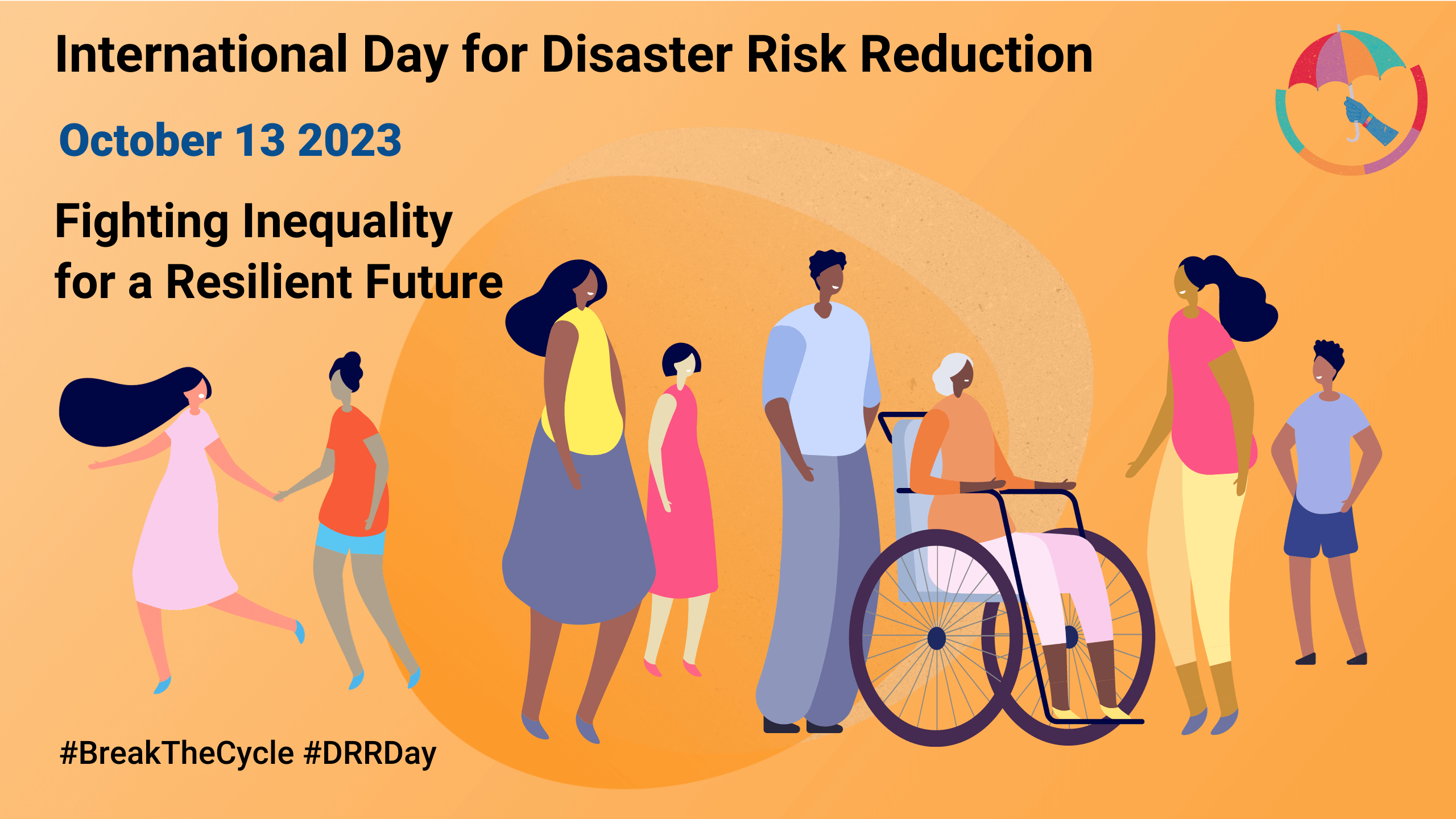
Today is the International Day for Disaster Risk Reduction!
Did you know that October 13th is the International Day for Disaster Risk Reduction (IDDRR)? Since 1989, the United Nations Office for Disaster Risk Reduction promotes a global culture of risk-awareness and disaster reduction on this day and encourages the community to share their events, promotions and ideas regarding disaster risk reduction. Under this year’s…
-
HeiGIT and GIScience at AGILE 2023
Earlier this month, the Association of Geographic Information Laboratories in Europe (AGILE) held its 2023 conference, and GIScience and HeiGIT team members contributed presentations, analyses and papers toward this year’s theme of “Spatial data for design.” At the conference’s host university Delft University of Technology (TU Delft) in the Netherlands, the team members contributed work uniting design…
-
Activation of the Disaster Portal for the earthquake in Türkiye/Syria
During catastrophic events such as the recent Türkiye/Syria earthquake, the road infrastructure in the affected area is often widely interrupted and accessibility varies over time. Inspite of this, it is imperative to quickly provide assistance to the affected people. Humanitarian Organizations need real-time information for force and logistics planning: Which roads are still passable? How…
-
Disaster openrouteservice to support the current response efforts to the Türkiye/Syria earthquake
On February 6, a 7.7 magnitude earthquake struck southern Türkiye at 4:17 a.m. This is Türkiye’s most powerful earthquake recorded since 1939. The Government of Türkiye has since issued a Level 4 alarm, calling for international assistance. The quake also heavily impacted north-west Syria, a region where 4.1 million people depend on humanitarian assistance already…
-
Where to map in OpenStreetMap next? Experiences from Mozambique, India, and Tonga
OpenStreetMap (OSM) has been intensively used to support humanitarian aid activities, especially in the Global South. Its data availability in the Global South has been greatly improved via recent humanitarian mapping campaigns and due to the efforts of local communities. However, large rural areas are still incompletely mapped. The timely provision of map data is…
-
HGG Vortrag: Digitale Geographie im Katastrophenmanagement
Einladung Vortrag Online: Dienstag, 14. Dezember 2021, 19:15 Uhr Melanie Eckle-Elze, Benjamin Herfort, Dr. Carolin Klonner Digitale Geographie im Katastrophenmanagement Klimawandel, Bevölkerungswachstum, Verstädterung und weitere zunehmende Landnutzungsveränderungen führen dazu, dass immer mehr Menschen in Risikogebieten leben. Um die vorhandenen Risiken zu verstehen und angepasste (Vorsorge-) Maßnahmen zu ergreifen, bedarf es der Zusammenführung von Expertenwissen als…
-
2021 Volcanic Eruption in La Palma (Spain) continues – Explore the temporal changes of the Lava Field in OpenStreetMap on ohsomeHeX
On the 19th of September 2021 a volcanic eruption on the Canary Island of La Palma started. Since then the resulting lava field is constantly growing and continues its destructive expansion. According to an article in the spanish newspaper El Pais, after one month of eruptions – till 19th of Oktober 2021- the volcano destroyed…
-
Routenplanung im Überflutungsgebiet: openrouteservice nutzt Copernicus EMS Flut-Daten in spezieller Lösung
Die aktuelle Flut in Deutschland hat zahlreiche Straßen in den betroffenen Gebieten zerstört oder temporär unpassierbar gemacht. HeiGIT arbeitet an freien und offenen, auf Geodaten-basierten Lösungen für die humanitäre Hilfe. Hierzu zählen insbesondere Routenplanung unter Berücksichtigung aktueller Katastrophendaten wie z.B. Überflutungsgebiete und zerstörter Strassen. Für die aktuelle Flutkatastrophe in Deutschland und Nachbarstaaten hat HeiGIT nun…
-
GIScience and HeiGIT contributions to AGILE 2021 conference
The AGILE 2021 conference is taking place this week. It is the the 24rd AGILE conference on GIScience. AGILE is the Association of Geographic Information Laboratories in Europe and the 2021 conference is for the first time held as a virtual conference. As in earlier years GIScience Heidelberg and HeiGIT are contributing to the conference with several…
-
Flood Impact Assessment on Road Network and Healthcare Access at the example of Jakarta, Indonesia
Extreme natural events create catastrophic situations for cities and their populations. Due to climate change and anthropogenic activities, the number and intensity of these events has steadily increased at the global scale. Floods are the most common natural disaster worldwide, responsible for economic, social and life losses. Low-income countries have a death rate 23 times…
-
Einführung in OpenStreetMap und humanitäres Mapping bei der AGIT 2020
HeiGIT unterstützt Workshops zu OpenStreetMap und humanitärem Mapping auf der AGIT 2020 In dieser Woche findet die jährliche AGIT-Konferenz und das parallele GI Forum statt. Während die Konferenz bereits seit mehr als 30 Jahren erfolgreich Vertreter aus Wissenschaft, angewandter Forschung und Wirtschaft nach Salzburg brachte, musste aufgrund der Corona Situation zum ersten Mal auf eine…