GIScience News Blog
-
Kick-off: Extract4D Project
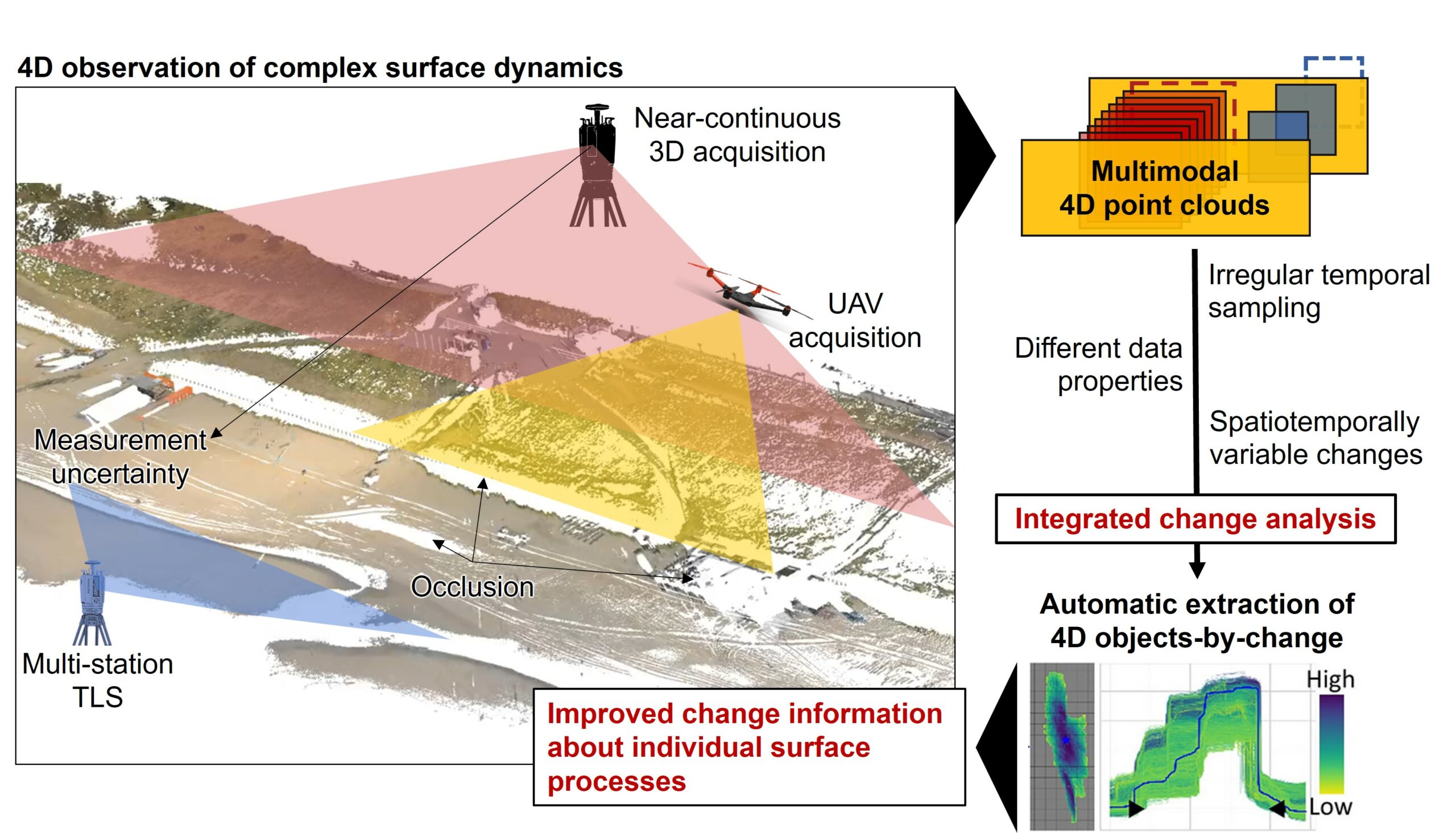
Last week, we, 3DGeo Heidelberg (Prof. Dr. Bernhard Höfle), had a kick-off meeting for our new joint research project Extract4D, led by Prof. Dr. Katharina Anders (TU Munich, Remote Sensing Applications). Here is a sneak peek at this exciting research project. Background The Earth’s surface is constantly being shaped by wind, water and gravity. Observing…
-
New Features for the ohsome Quality API and Dashboard
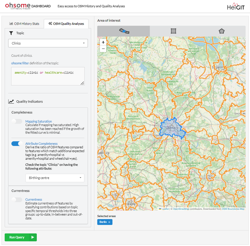
*Title image: Fig. 1: New UI of the ohsome dashboard In the last few weeks, a lot of work has been put into expanding the functionalities of the ohsome Quality API. Most notably, the ohsome dashboard now has a new Quality indicator ready for use: the Attribute Completeness indicator. The ohsome quality API and the…
-
Sketch Map Tool Updates and Video Introduction
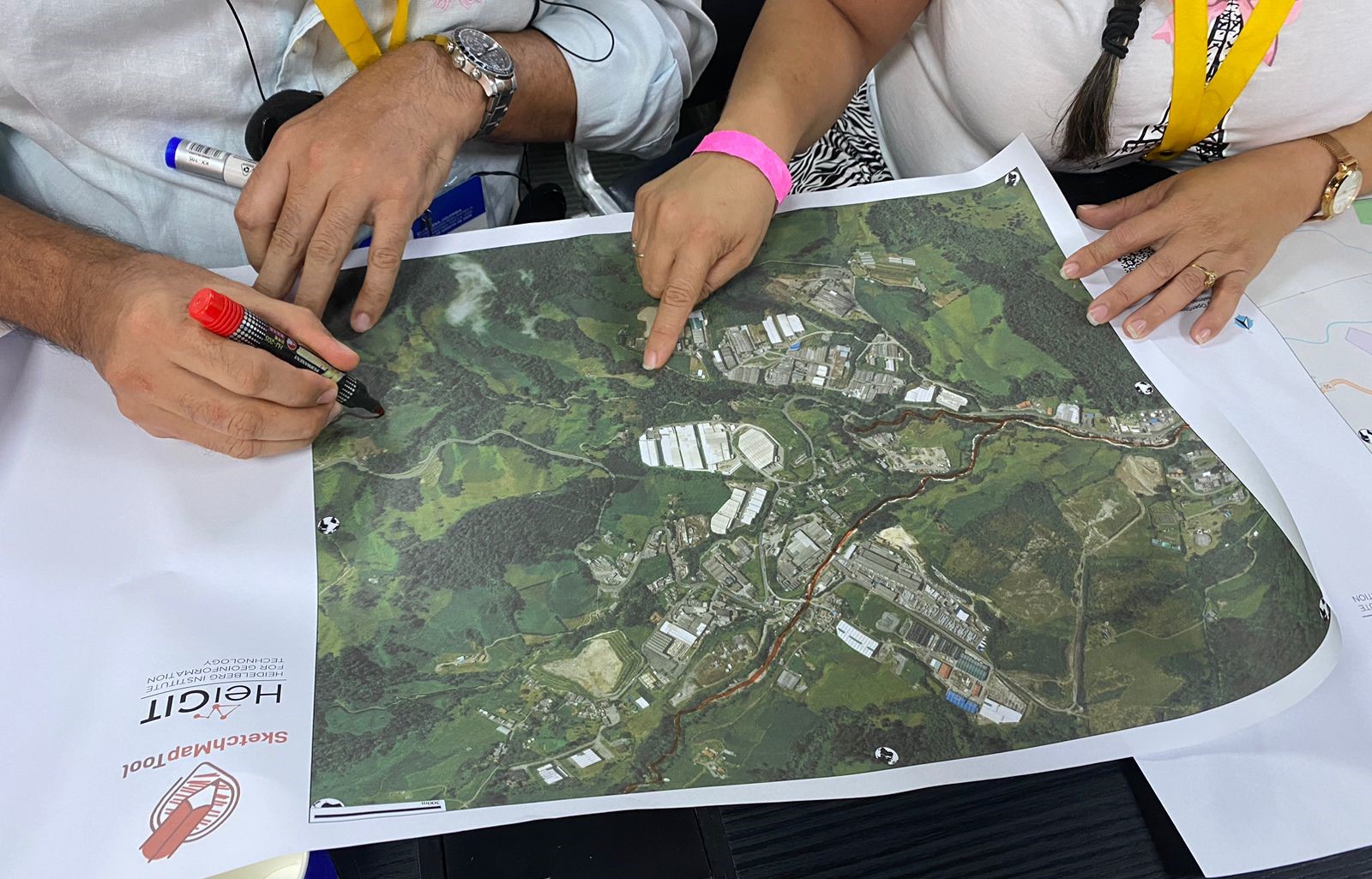
We are happy to share new developments on our ongoing work with the Sketch Map Tool! To help you better understand the tool, its key functionalities, and potential applications, we have included an introductory video. We require your explicit consent to use your Sketch Maps for training purposes. Sharing your data is entirely optional, and…
-
Meet HeiGIT and Discover Our AI and Anticipatory Action Related Projects at the Global Dialogue Platform in Berlin
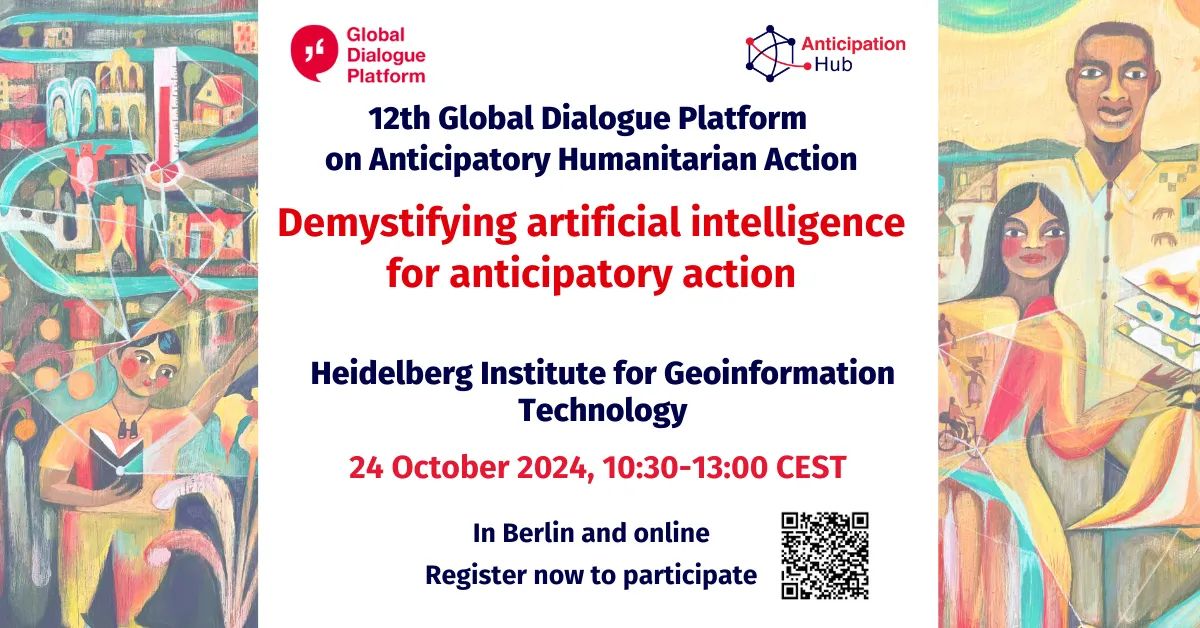
Join us at this year’s Global Dialogue Platform on Anticipatory Humanitarian Action, themed “Mainstreaming Anticipatory Action: Collaboration in Complex Contexts.” This topic has been a focal point for HeiGIT over the past few years, and its prominence as the core theme of this year’s event underscores its relevance in today’s humanitarian landscape. How can we best…
-
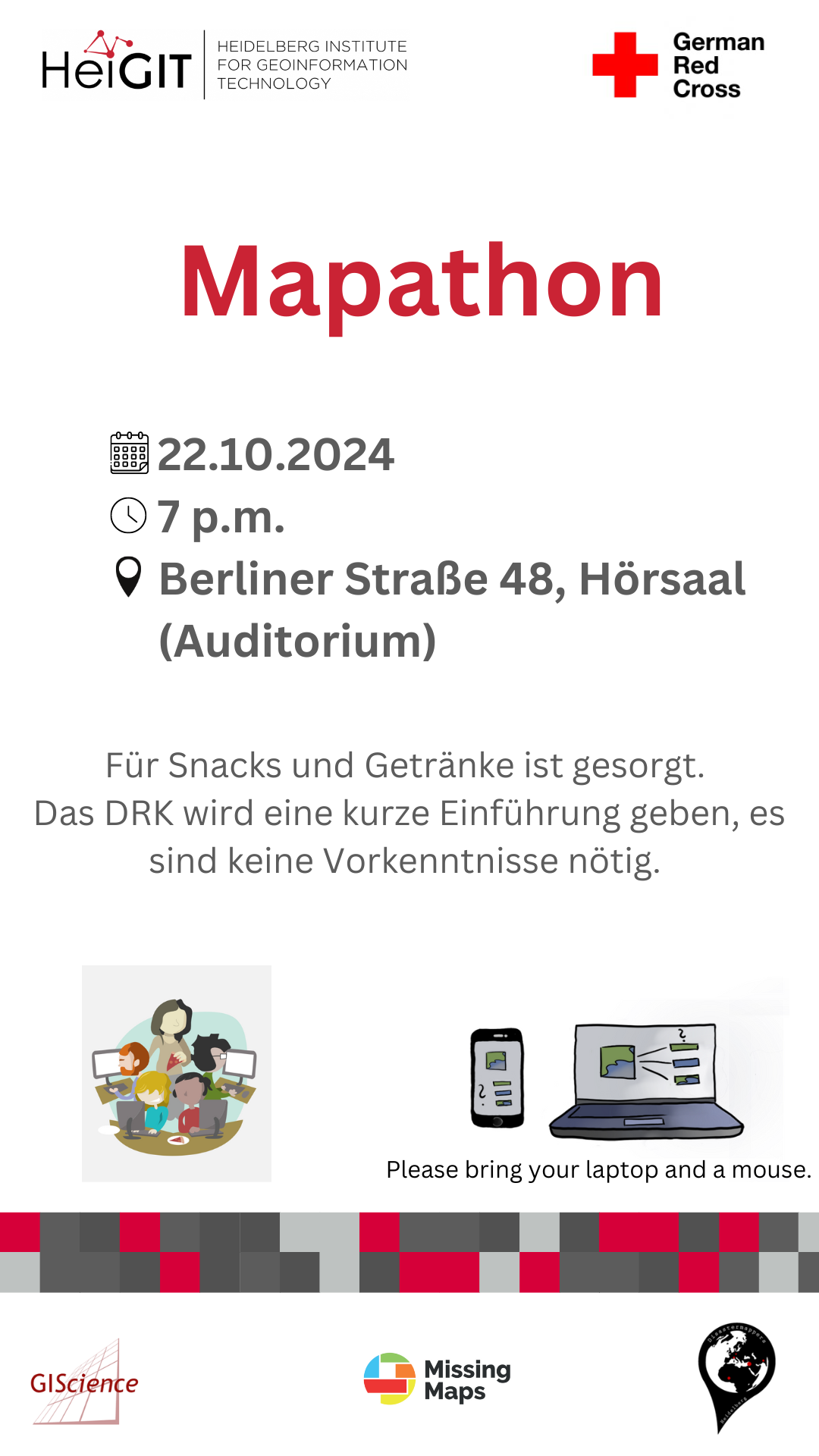
Mapathon on October 22
When: Tuesday, 22.10.2024, at 7 p.m. Where: Berliner Straße 48, Hörsaal After a short introduction into the region and subject of this mapping task, you will also get instructions how to map. The Mapathon will be a collaboration with the Missing Maps project. Everyone is welcome and no previous knowledge is needed!Do bring your laptop…
-
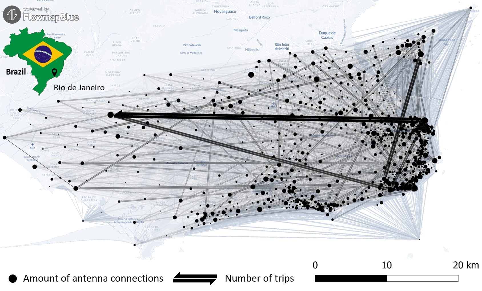
New Paper “Long-term validation of inner-urban mobility metrics derived from Twitter/X”
Data on mobility behavior can yield valuable insights that are beneficial for various applications such as public policy, emergency response, and urban planning. As the availability of freely-accessible mobility data is limited, the attention to X (formerly known as Twitter) as a data source has increased. Users of the platform can tag their online posts…
-
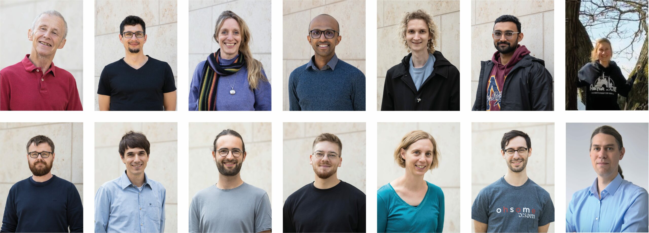
The Heads behind the Climate Action Team
At HeiGIT, the recently established Climate Action team is a group of dedicated professionals of diverse backgrounds and areas of expertise working together to drive impactful environmental solutions. The climate crisis is one of the most urgent challenges for society, and its impacts are becoming increasingly severe. However, there is a large gap between awareness…
-
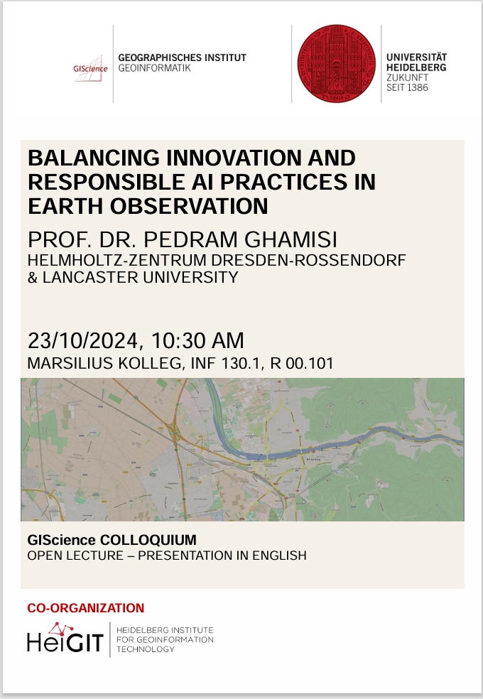
GIScience Colloquium by Pedram Ghamisi on responsible AI on 23 October 2024
We are very pleased to soon host guest speaker Prof. Dr. Pedram Ghamisi, head of the machine learning group (FWGE-L) at Helmholtz-Zentrum Dresden-Rossendorf, Germany (HZDR) & visiting full professor at Lancaster University, UK. Prof. Dr. Pedram Ghamisi will give a lecture on ´Balancing Innovation and Responsible AI Practices in Earth Observation: A Few Examples´. The…
-
New Paper: GeoAI for Science and the Science of GeoAI
GeoAI integrates AI, geospatial big data, and high-performance computing for solving data- and computation-intensive geospatial problems. This field has gained continuous momentum, driven by strong demands in geography and the rapid advancement of AI. Wenwen Li´s paper “GeoAI for Science and the Science of GeoAI”, published in the latest edition of the Journal of Spatial…
-
HeiGIT at XP Days Germany: Insights into Working in Floating Teams
Two of our colleagues, Johannes Link and Jakob Schnell, are set to attend XP Days Germany 2024, where they’ll be sharing their insights on working in floating teams at HeiGIT. XP Days Germany is a community-driven, participatory conference for software developers, designers and testers, offering a space to exchange ideas and experiences. The conference will…
-
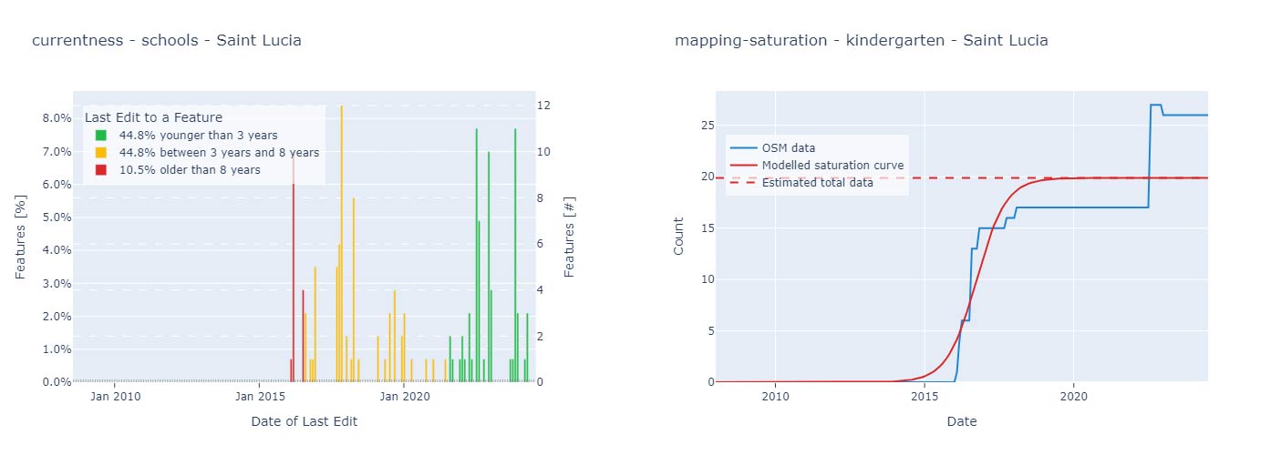
Quality Assessment for World Bank GEEST Methodology
A workgroup of the World Bank is researching and evaluating the key spatial factors affecting women’s employment opportunities in the renewable energy sector. Their research aimed to develop an analytical tool, the Gender Enabling Environments Spatial Tool (GEEST), designed to assess localities based on how supportive they are in enabling women to access employment or…
-
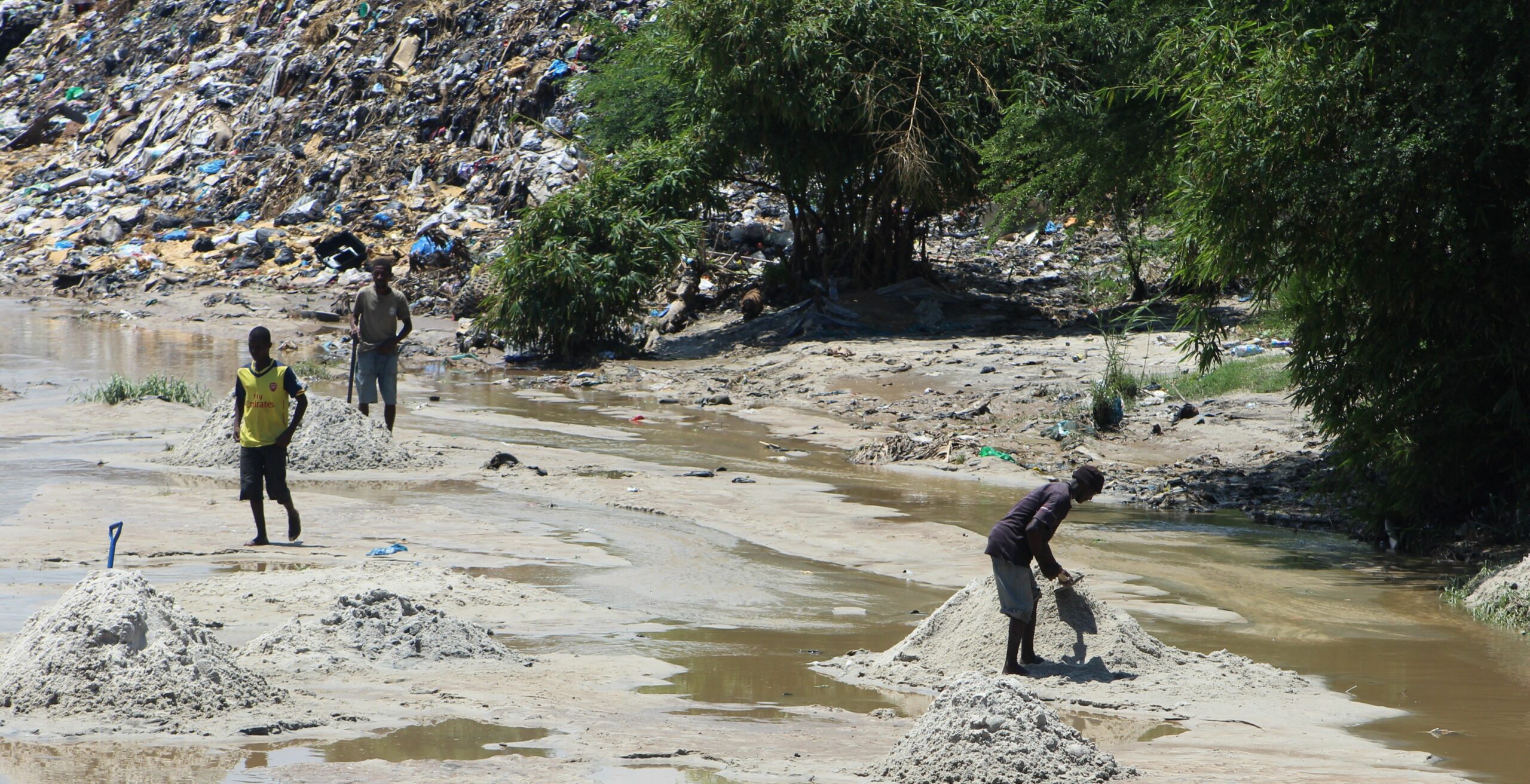
New Paper: “UAV-Assisted Municipal Solid Waste Monitoring for Informed Disposal Decisions”
Solid waste pollution is the cause of many environmental and health risks, especially in areas where waste is generated in large quantities but cannot be properly disposed of. Knowledge of the size and location of dump sites is required to keep waste management efficient and low-cost. When the extent of these dump sites needs to…
3D 3DGEO Big Spatial Data CAP4Access Climate Change Conference crisis mapping Crowdsourcing data quality deep learning disaster DisasterMapping GIScience heigit HELIOS HOT humanitarian humanitarian mapping Humanitarian OpenStreetMap team intrinsic quality analysis landuse laser scanning Lidar machine-learning Mapathon MapSwipe Missing Maps MissingMaps ohsome ohsome example Open data openrouteservice Open Source OpenStreetMap OSM OSM History Analytics Public Health quality analysis remote sensing routing social media spatial analysis Teaching VGI Workshop


