

The openrouteservice (ORS) QGIS plugin continues to evolve, bringing a suite of new features, improvements, and fixes that enhance its functionality and user experience. This update incorporates significant changes that will benefit users working on diverse geospatial projects. In this post, we highlight the key updates in the latest version of the ORS QGIS plugin.
The openrouteservice
Openrouteservice is a powerful routing engine developed by the Heidelberg Institute for Geoinformation Technology. It provides a range of services including route planning, isochrone calculations, and accessibility analysis, leveraging OpenStreetMap (OSM) data. The QGIS plugin for ORS integrates these capabilities directly into the QGIS environment, allowing users to perform complex routing and spatial analysis tasks within a familiar interface.
Newly added main features
Option to Export Order of Optimization Route Points
Users can now export the order of route points after optimization. This functionality is particularly useful when the sequence of stops is crucial for optimizing travel routes.
extra_info Parameter in Directions Processing Algorithms
The addition of the `extra_info` parameter in directions processing algorithms allows users to access additional contextual information about routes.
Usability Improvements
Renaming the Ok Button to Save in the Configuration Window
- The “Ok” button in the configuration window has been renamed to “Save” for better clarity. This minor change helps avoid confusion, ensuring that users understand their settings are being saved.
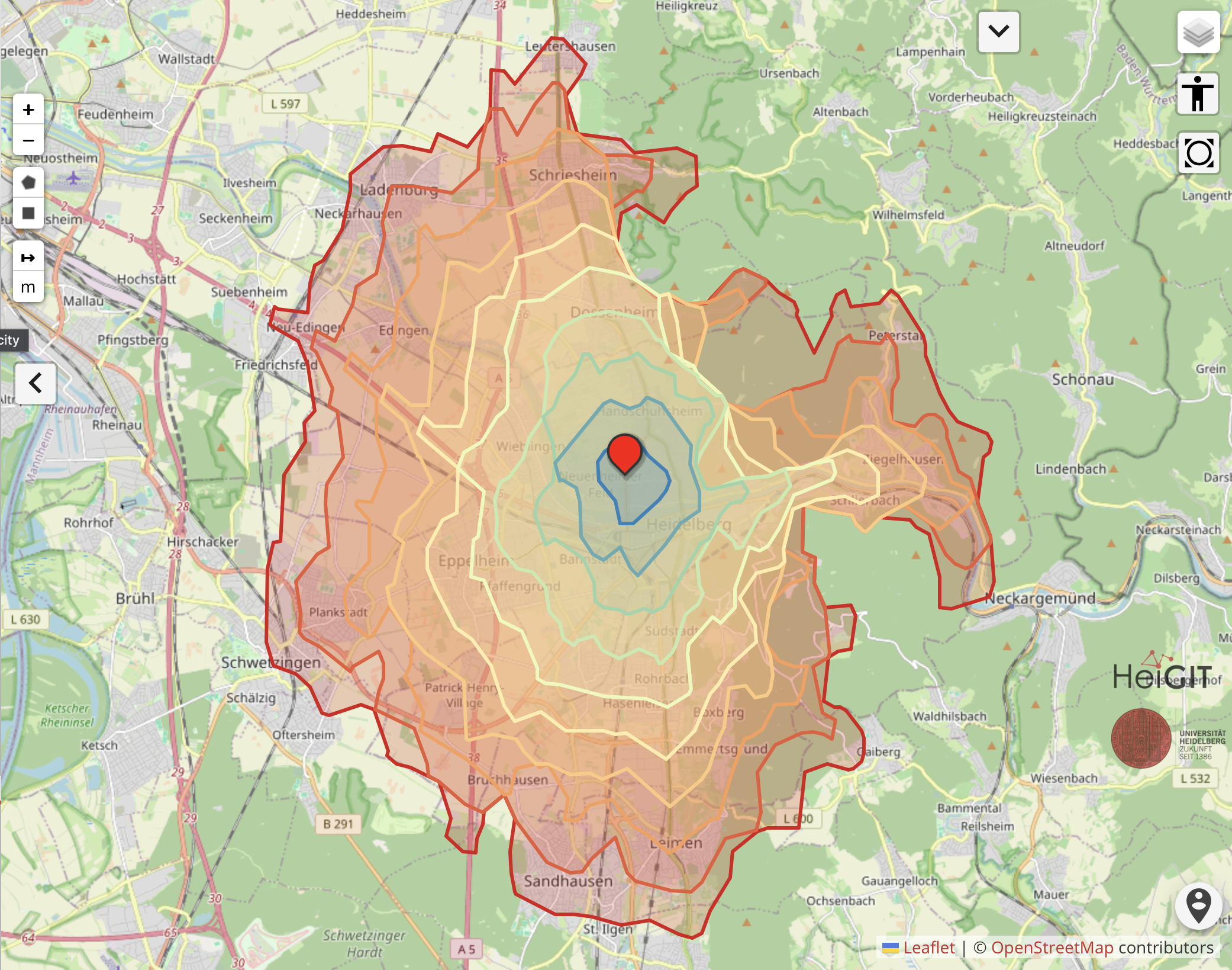
Support for Decimal Ranges with Isochrones
- This feature enhances the precision of isochrone calculations by allowing users to specify decimal ranges. Isochrones, which represent areas of equal travel time or distance from a specific point, can now be generated with greater accuracy.
Hint for Joining with Layer ID Field
- To streamline data integration processes, a hint has been added for users to join datasets using the Layer ID field. This guidance facilitates the correct linkage of spatial data layers, improving the efficiency of data management and analysis.
Code Quality and Preparation for Qt6-QGIS Builds
- The plugin’s code has been updated to replace PyQt5 imports with `qgis.PyQt` imports. This change is a preparatory step for compatibility with future Qt6-QGIS builds, ensuring the plugin remains functional and up-to-date with the latest QGIS advancements.
- The plugin’s code now includes improved type hints, contributing to better code readability and maintainability. This enhancement supports developers in understanding and extending the plugin’s functionality more efficiently.
- The transition from qt `QSettings` to `QgsSettings` for configuration management centralizes and streamlines the plugin’s settings. This change enhances the maintainability and consistency of user configurations across different QGIS sessions.
Fixes of Point Annotations in Main GUI
- Crash Fix When Selecting Multiple Vertices for Deletion
- Improved Depiction of Vertices on Canvas
- Persistent Point Annotations
- Optimization Issues with MultiPoint Layers
Summary
The latest updates to the OpenRouteService QGIS plugin represent a significant step forward in terms of functionality, usability, and stability. These enhancements not only improve the overall user experience but also ensure that the plugin remains aligned with the latest developments in the QGIS ecosystem. Users can look forward to more precise analyses, streamlined data management, and a more robust toolset for their geospatial projects.