

No matter where you are or which device you are using, you can now do voluntary work and make a difference, all from your browser with MapSwipe Web App!
Since 2015, MapSwipe has harnessed the collective force of volunteers to actively contribute to geoinformation-related projects. In science and in fields such as city and traffic planning, sustainable development, and disaster management, free geodata is of increasing importance. This data needs to be regularly updated and completed to ensure optimal use.
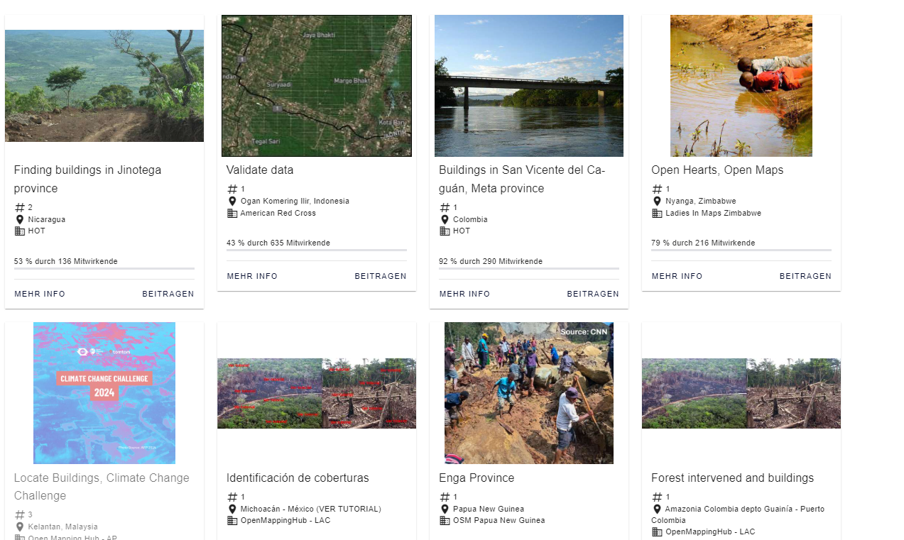
MapSwipe enables volunteers anywhere in the world to optimize map data and support humanitarian and charitable organizations. MapSwipe is a partner of Missing Maps, a project of which HeiGIT is a member, that aims to close gaps in OpenStreetMap. Until now, MapSwipe has been available via iOS and Android.
Thanks to the new web app, it is now possible to contribute to MapSwipe independently of any platform via your browser. This is especially useful when installing the app on your mobile device is not desirable or possible. Mappers who prefer using their computer’s larger screen for mapping might also enjoy this new option. For developers, the web app also offers quicker and easier ways to implement and test new features.
The web app is available now. It supports contributions to the same mapping projects as the mobile app. If you are already using the mobile app, you can log into your existing account and easily navigate the mapping projects. Apart from that, the web app offers some new features, such as an interactive map showing the location of the area that you are currently mapping.
The initial version of the web app was developed by HeiGIT with support from the Humanitarian OpenStreetMap Team (HOT). It is based on an application for crowdmapping originally used in the LOKI and UndercoverEisAgenten projects to map earthquake damage and permafrost in UAV imagery.
The source code of the MapSwipe Web App is public and available under a free license. Contributions and bug reports are welcome.
To keep up with future developments and releases related to this project as well as other efforts to advance geospatial technology in the mobility, humanitarian aid, and data analytics space, follow the social media channels and stay up to date on our blog.