

Category: Allgemein
-
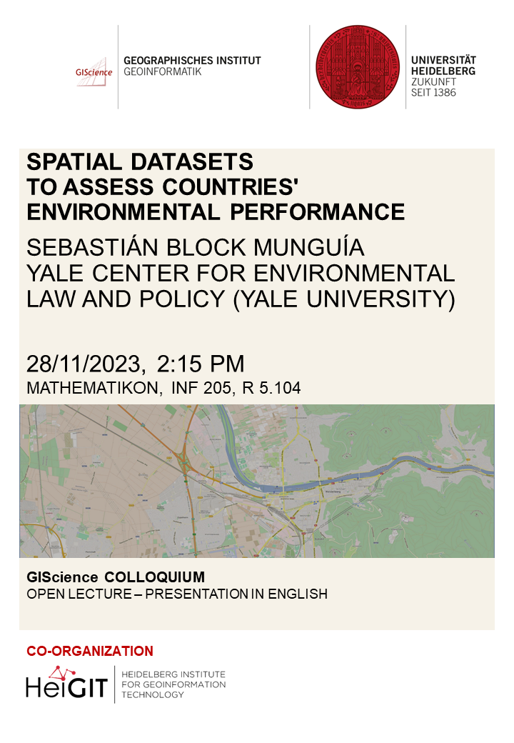
GIS Colloquium with Sebastián Block Munguía
Dear colleagues and students, We would like to invite you to our upcoming GIS colloquium. We are very pleased to host guest speaker Sebastián Block Munguía from the Yale Center for Environmental Law and Policy (Yale University), who will give a talk on “Spatial datasets to assess countries’ environmental performance”. He will tell a short…
-
Exploring the Value of Microsoft ML Roads for OSM Data Quality Analysis
The completeness of the OpenStreetMap (OSM) road network has been an ongoing focus for researchers for more than 15 years. For instance, Neis et al. (2011) investigated the OSM street network evolution in Germany and compared it against road data from TomTom. Whereas obtaining reference data has been rather difficult in the past, nowadays we…
-
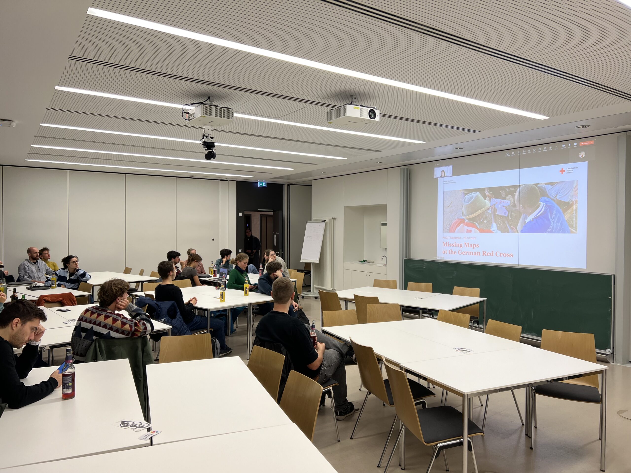
A Successful Mapathon
We hosted a Mapathon on Thursday, the 26th of October, which saw the participation of students and researchers alike. We started mapping after a short introduction talk by Isabell Klipper on the usage of such data for example for the Sketch Map Tool. Around 30 participants collectively mapped about 4.000 buildings in Herat, Afghanistan, providing…
-
HeiGIT bei den XP Days Germany 2023
Am 5. und 6. Oktober 2023 hat in Frankfurt am Main die XP Days Germany 2023 stattgefunden, eine offene Konferenz für Agile Softwareentwicklung und Extreme Programming mit Fokus auf Softwareentwicklungsthemen. Während der Konferenz konnten Teilnehmende in Vorträgen, Workshops und Diskussionsrunden ihr Wissen über Softwareentwicklung erweitern. Da zur Softwareentwicklung auch das Teambuilding dazugehört, haben Johannes Link…
-
🦇 Halloween release of HELIOS++, v1.3.0
We proudly present our Halloween release of HELIOS++, Version 1.3.0: https://github.com/3dgeo-heidelberg/helios/releases What’s new in this release? HELIOS++ now supports LiDAR simulation of dynamic scenes. We can now simulate laser scanning of scenes that change during the simulation. This is done by introducing rigid motions, which are defined with XML syntax in the scene XML file.…
-
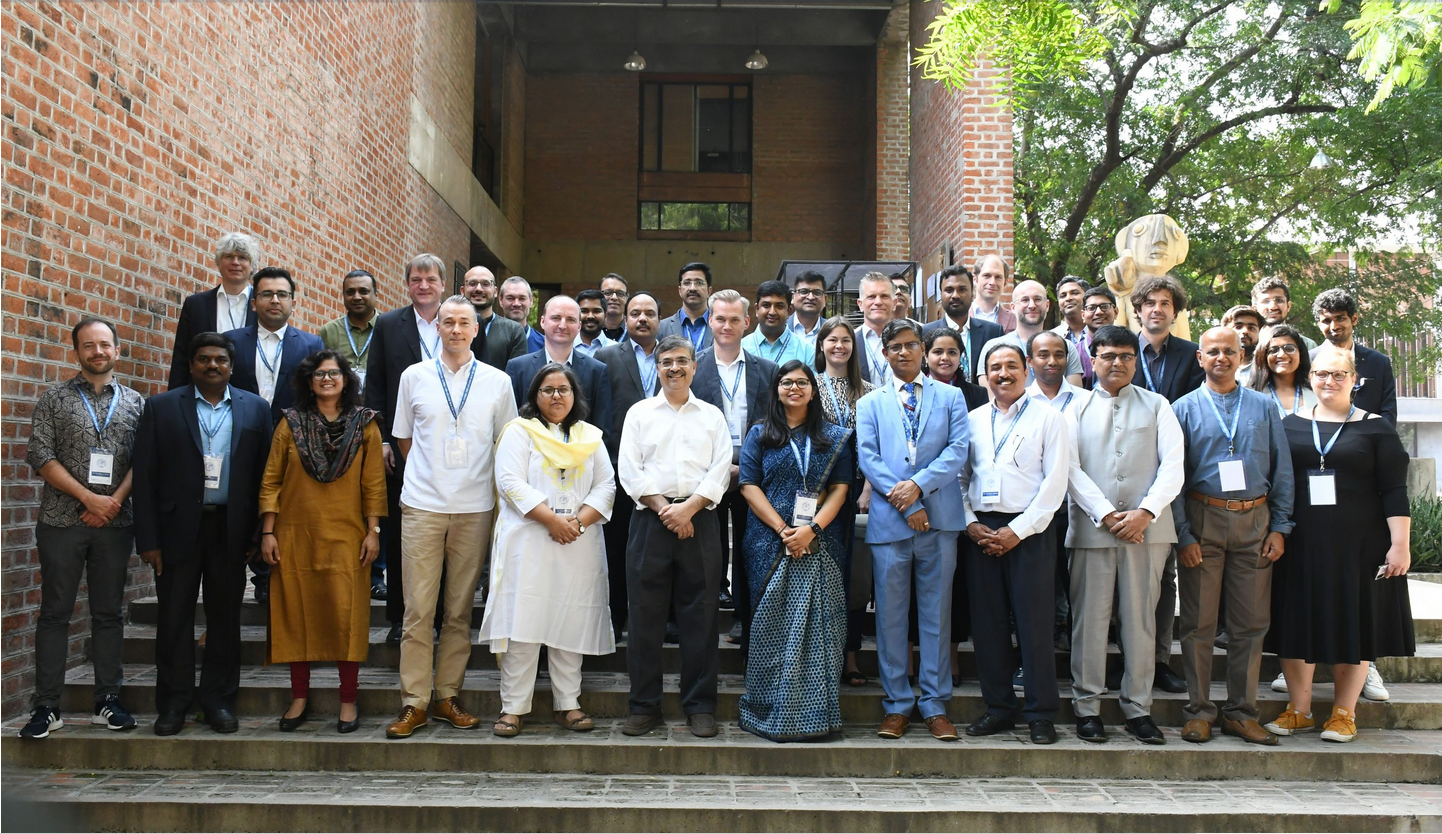
HeiGIT at the International Land Use Symposium in India
HeiGIT Scientific and Managing Director Prof. Dr. Alexander Zipf and HeiGIT Chief Scientist Adj. Prof Dr. Seven Lautenbach attended the 4th International Land Use Symposium at CEPT University in Ahmedabad, India. The symposium was held from 4th – 6th October 2023 under the main theme “Urban Analytics for Transforming Cities and Regions: Tools, Methods and…
-
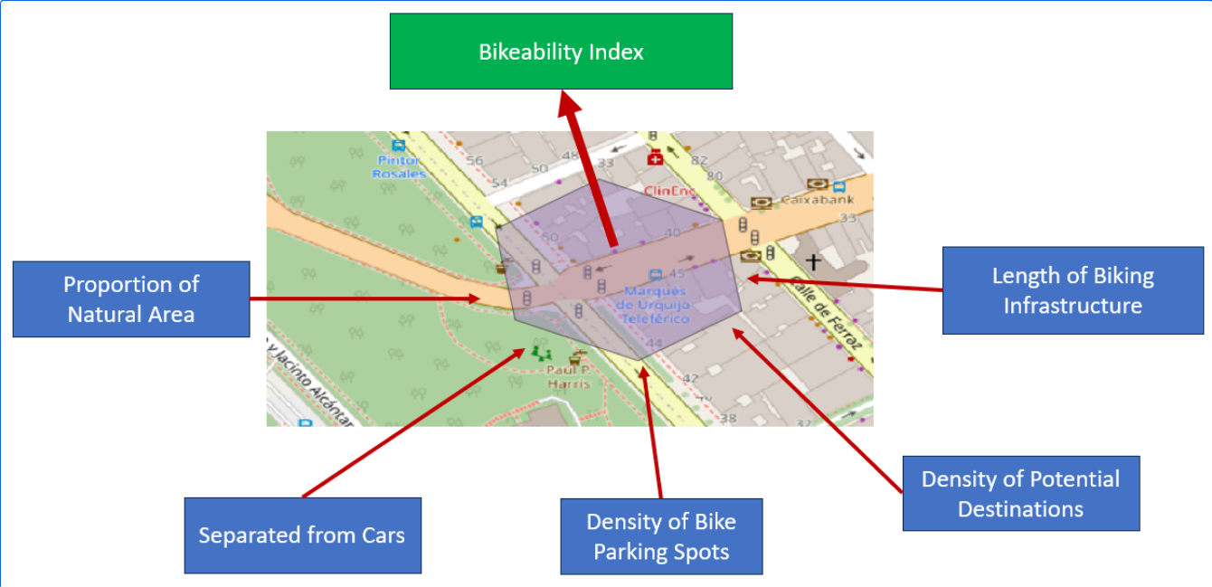
Analyzing Bikeability
For various reasons biking is becoming a more frequently used mode of transportation. It offers flexibility, is quite cheap compared to other modes of transportation, helps with fitness and is almost carbon neutral. To evaluate how well adapted the existing infrastructure is to accommodate biking, Manuel Kraft of HeiGIT created the “Bikeability-Index”. Analyzing Bikeability There…
-
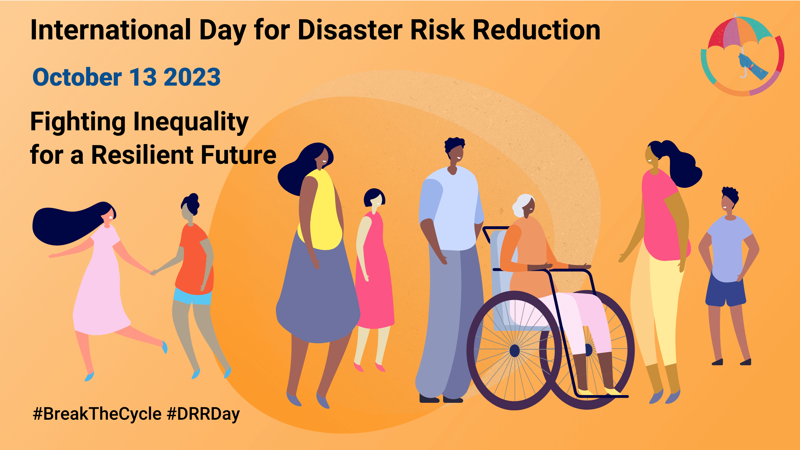
Today is the International Day for Disaster Risk Reduction!
Did you know that October 13th is the International Day for Disaster Risk Reduction (IDDRR)? Since 1989, the United Nations Office for Disaster Risk Reduction promotes a global culture of risk-awareness and disaster reduction on this day and encourages the community to share their events, promotions and ideas regarding disaster risk reduction. Under this year’s…
-
SketchMapTool Enters Next Phase with Funding from German Red Cross and German Federal Foreign Office
The Sketch MapTool (SMT) is entering its next project phase thanks to support from the German Red Cross (GRC) and the German Federal Foreign Office. In this phase, our main goals are enhancing the tool’s stability and marking detection, as well as expanding the current features, adding new languages and satellite imagery as base maps.…
-
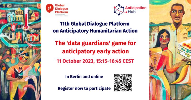
HeiGIT at the 11th Global Dialogue Platform on Anticipatory Humanitarian Action
In October 2023, the 11th Global Dialogue Platform on Anticipatory Humanitarian Action will take place as a hybrid event in Berlin, allowing for people to attend either in person or online (register here). Under this year’s main theme “People at the centre: scaling up anticipatory action”, the platform offers a plethora of workshops and discussion…
-
HeiGIT at the GIScience Conference in Leeds
HeiGIT and GIScience members Adam Rousell, Anne Schauss, Christina Ludwig and Nir Fulman were invited to present their work at the 12th International Conference on Geographic Information Science in Leeds. The conference took place from September 12-15. The first day was dedicated to workshops and tutorials, while short and full papers, as well as posters…
-
Kick-off: AImon5.0 – Real-time monitoring of gravitational mass movements for critical infrastructure risk management with AI-assisted 3D metrology
In September 2023, our new research project AImon5.0 has been kicked-off. In this project the open-source frameworks HELIOS++ and py4dgeo of the 3DGeo research group will be combined to enhance current approaches for operational risk monitoring. AImon5.0 is an interdisciplinary collaboration project of the 3DGeo research group with DMT GmbH & Co. KG (project leader),…