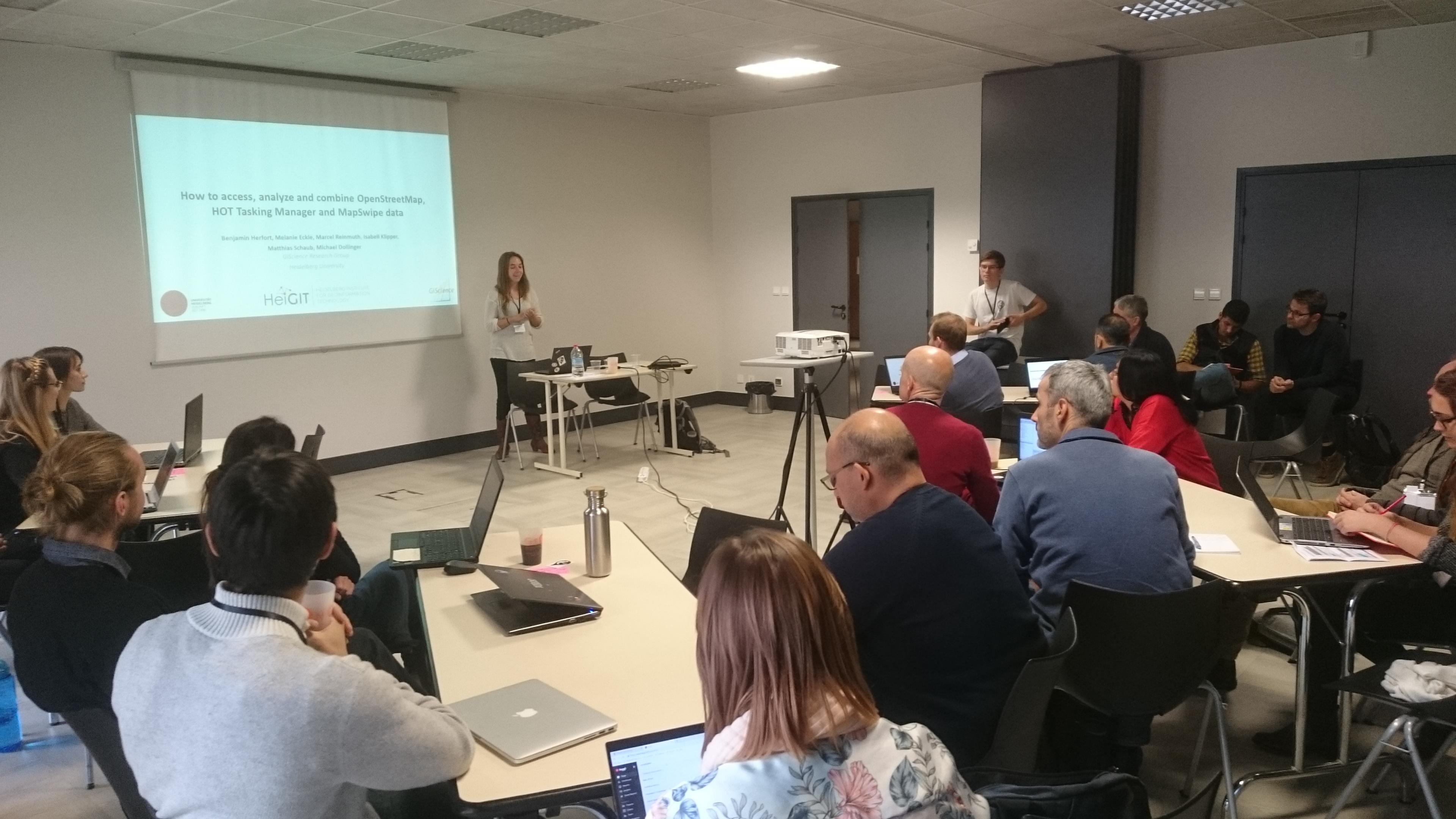
After the successful GeOnG conference 2018 in chambery we want to thank the organizers and all participants. We contributed in several ways, as already highlighed in our previous blogpost. Now, we also want to share our slides and workshop material with everyone interested.
Round table discussion:
- Machine Learning, AI & satellite imagery: what impact on humanitarian mapping: slides
Workshop:
- OpenRouteService: slides and worksheet
- Critical Numbers and HOT Tasking Manager: slides and worksheet
- MapSwipe and MapSwipe Analytics: slides and worksheet
- OpenStreetMap history analysis with ohsome: slides
We are looking forward to the next GeOnG in 2020. 🙂
Our full packed workshop at the GeOnG 2018


