

Category: Events
-
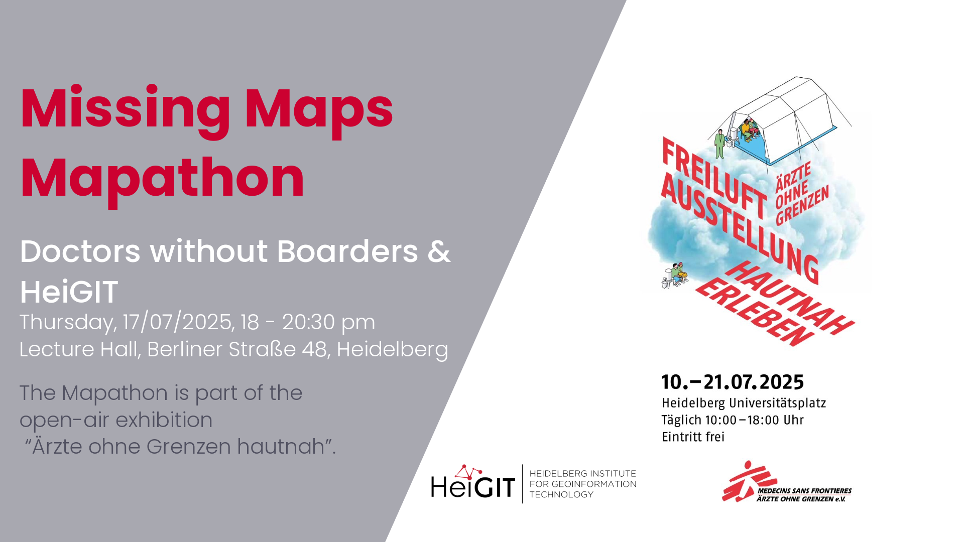
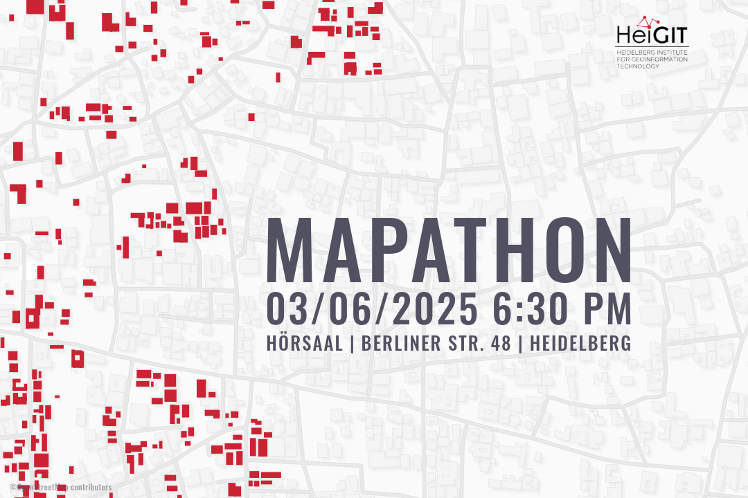
Mapathon with Doctors without Boarders
The lack of geographical data makes providing humanitarian aid more difficult. This is particularly the case in situations of disaster, when geographical data and routing data are crucial for coordinating help. In certain regions, however, this data still remains incomplete. During Mapathons, volunteers map these areas and provide the missing data. As part of this…
-
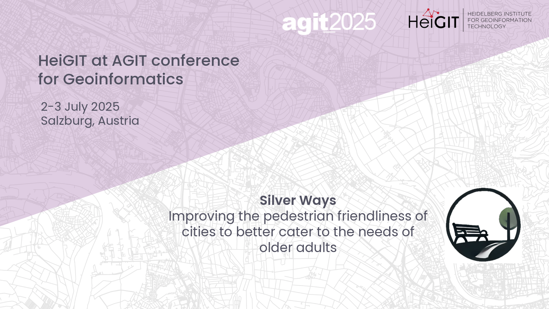
Presenting Silver Ways project at AGIT
At this year’s AGIT conference in Salzburg, Austria, GIScience and HeiGIT will host a poster session to our new Silver Ways project, developing a walkable routing system to cater the needs of older adults.
-
HGG lecture: Vietnam – Between Coffee and Karst
This HGG lecture is given by students from the Institute of Geography at Heidelberg University who participated in the Vietnam excursion.
-
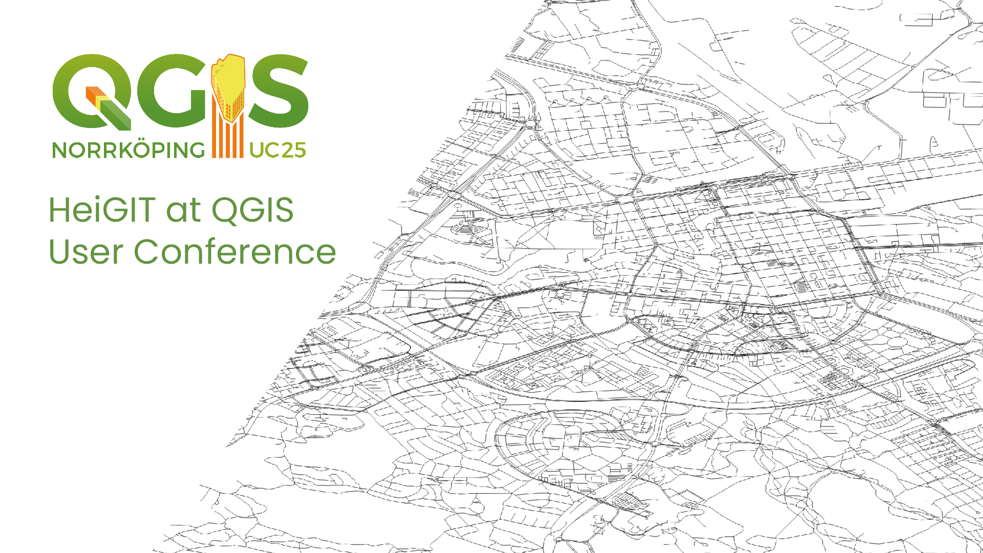
HeiGIT at QGIS User Conference
HeiGIT will present two sessions on openrouteservice. ORSTools – using a global routing engine directly from QGIS Monday, June 2 2025, 16:30–17:00 (Europe/Stockholm), Statisten Getting from A to B fast and efficiently is central to mobility analysis and requires both road network data and a route calculation algorithm capable of using it. This session introduces…
-
Mapathon – Silver Ways Project
This time, we will map smoothness and surface tags within the Mannheim area. This mapping effort will contribute to delivering the data needed for our ongoing Silverways project. Silver Ways is a project aiming to improve the mobility of senior citizens by developing an empirically informed and validated routing system tailored to their needs. The…
-
HGG lecture – Why do tree lines exist?
The second HGG lecture of this semester answers the question of why tree borders exist and how climate change influences them.
-

3DGeo April Recap: Conferences
It was an exciting month for the 3DGeo research group in April. Three major conferences took place: Let’s give you some impressions below! JISDM The Joint International Symposium on Deformation Monitoring (JISDM) brings together experts on deformation monitoring from a range of fields such as photogrammetry, remote sensing and of course geodesy. It is a…
-
Heidelberg Geographical Society Lecture Series
The Heidelberg Geographical Society (HGG) has invited leading experts to present on urgent contemporary issues in an open lecture series.
-
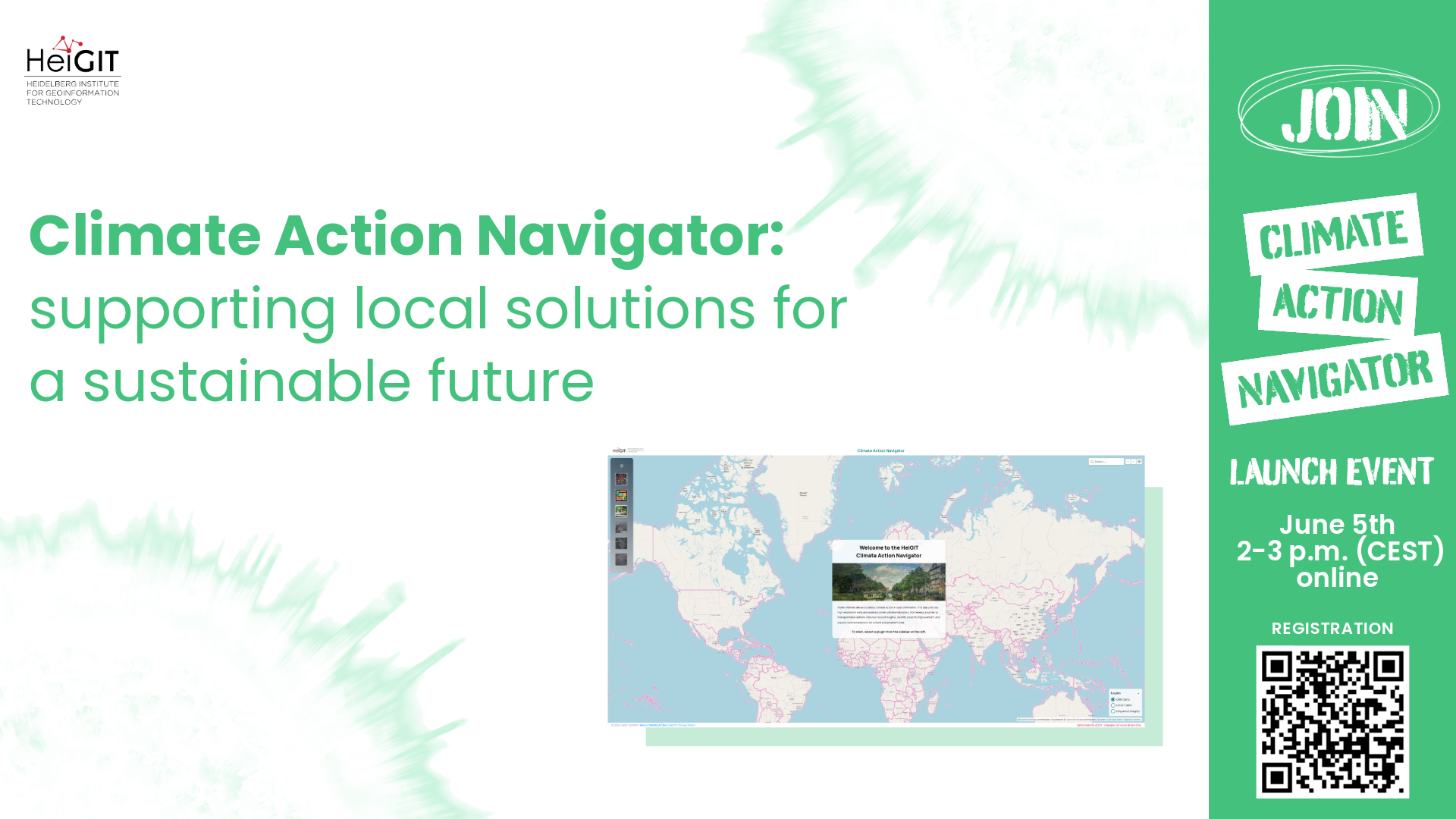
Climate Action Navigator Launch
The Climate Action Navigator is a new dashboard by HeiGIT that displays high-resolution spatial indicators related to climate action. The dashboard can help communities, organizations, and decision-makers identify local strengths and highlight areas for improvement. Join the launch event to learn how it can be used to develop locally tailored solutions for more sustainable cities…
-
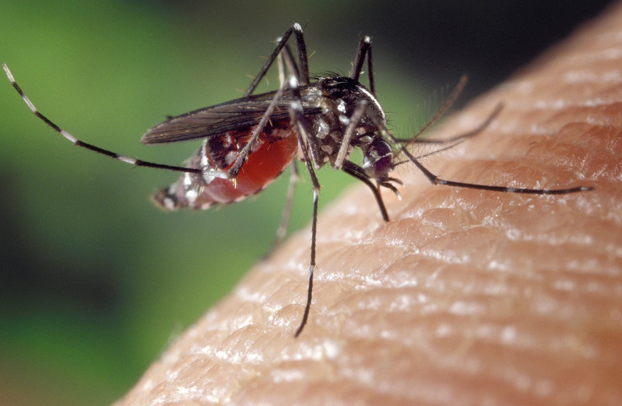
Public lecture on “Habitat-Scale Environmental Suitability Mapping for Aedes aegypti”
On December 18, 2024, GIScience PhD candidate Steffen Knoblauch will present his research on “Habitat-Scale Environmental Suitability Mapping for Aedes aegypti.” The public lecture will take place at 9:00 AM in the Conference Room, 5th Floor, Mathematikon, Im Neuenheimer Feld 205, 69120 Heidelberg, and will be followed by a non-public PhD defense examination. Geoinformatics Research…
-
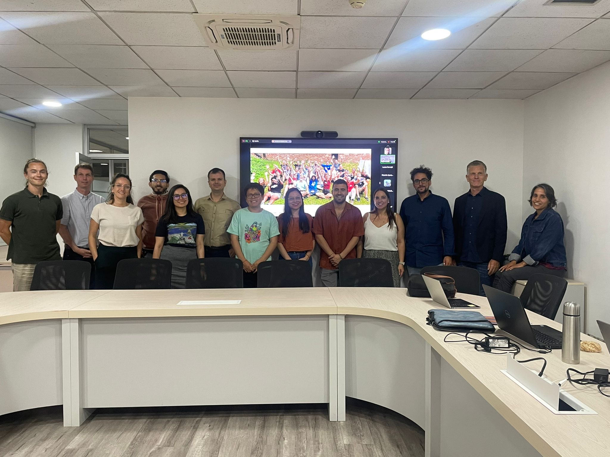
Teaching at Heidelberg Center Latin America in the master program “Governance of Risk and Resources”
Recently, our colleagues traveled to Chile as part of our ongoing collaboration with the Heidelberg Center Latin America. During their visit, they hosted a block course, met with local research institutes, and participated in an alumni meeting for the master’s program “Governance of Risk and Resources” at the Heidelberg Center Latin America. Anne Schauss and…
-
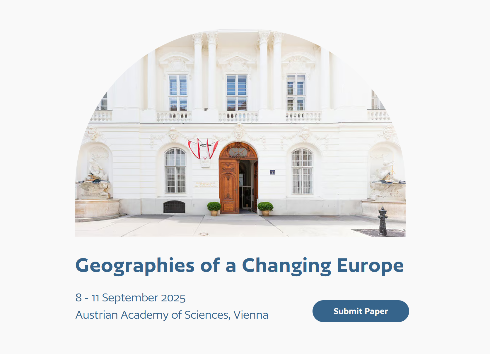
EUGEO 2025: Call for Papers on greenhouse gas emission inventories and active mobility indicators
The Call for Papers for the 10th EUGEO Congress 2025 is open! The Climate Action team at HeiGIT is looking forward to actively participate in next year´s congress with two sessions chaired by Kirsten von Elverfeldt, Maria Martin and Sebastián Block.