

In the context of disaster management, time is of the essence. Quick and accurate response can make all the difference in saving lives and mitigating damage. That’s why the openrouteservice (ORS) for Disaster Management is taking a step forward by expanding its coverage to larger areas. This upgrade is set to improve the possibilities of humanitarian aid across the globe.
Frequent Updates for Real-Time Decision Making
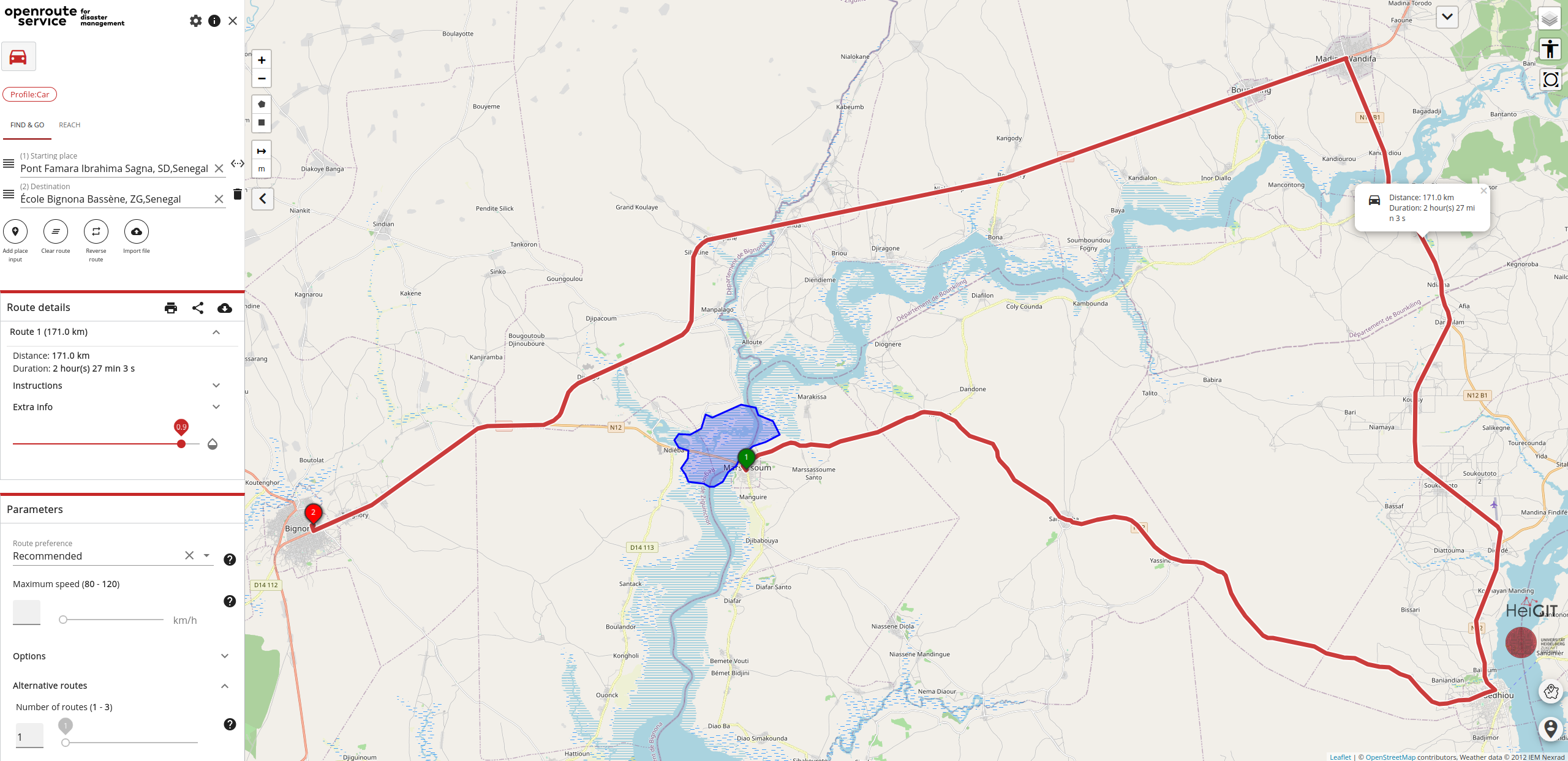
ORS for Disaster Management, thanks to its reliance on highly current OpenStreetMap (OSM) data has been key in providing first responders with solutions to circumnavigate critical infrastructure like roads or border checkpoints during humanitarian crises, in case they are blocked or damaged. While the regular ORS updates its data once a week, ORS for disaster management defines smaller areas that receive new OSM data as frequently as every ten minutes. This almost real-time data input means that crucial updates, such as information on blocked roads resulting from mapping events, can be swiftly incorporated into route planning, enabling faster and more accurate decision-making.
The Power of ORS v7
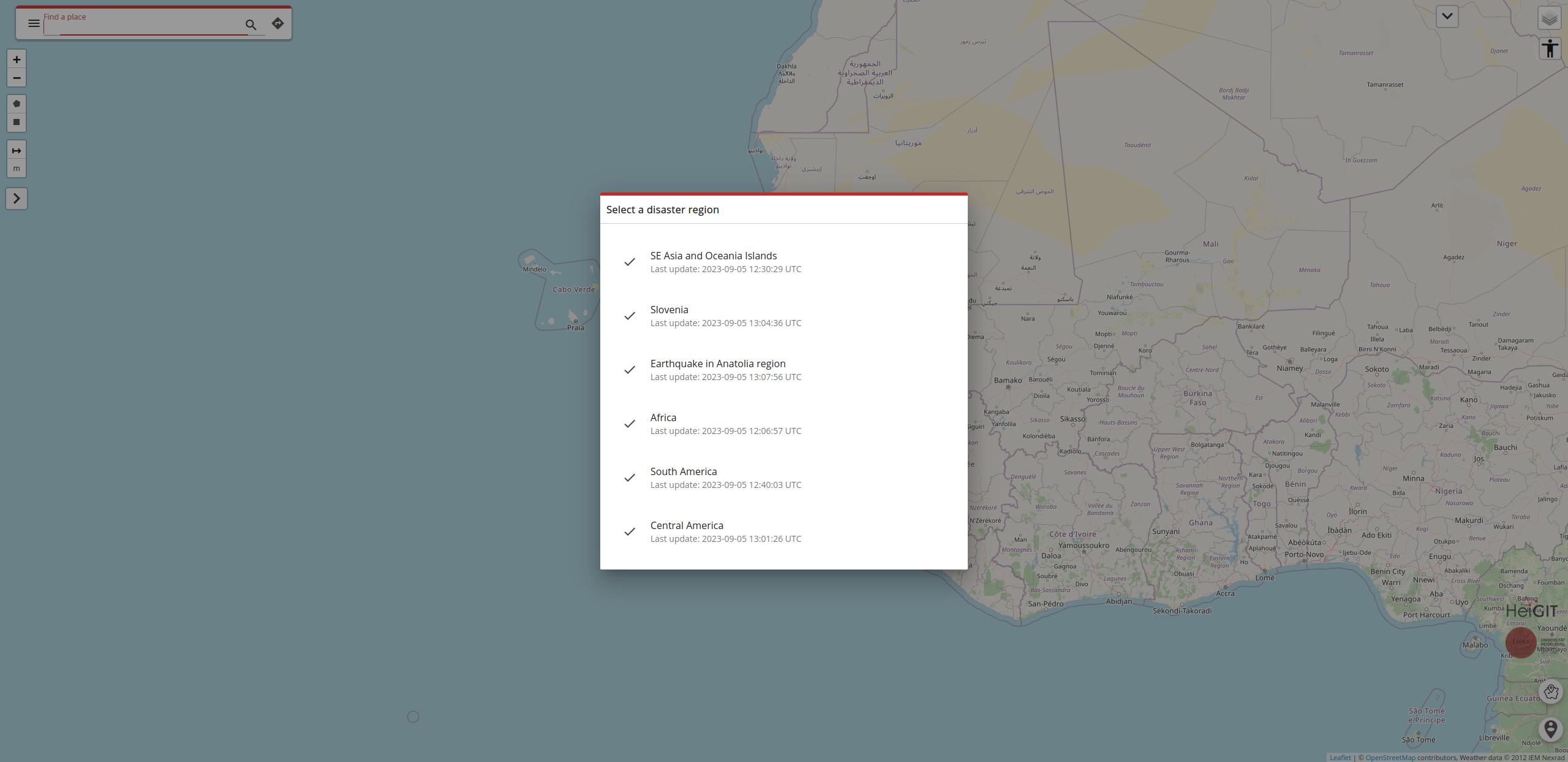
Since the release of ORS version 7 (v7), the time required to build the base routing graphs has seen a significant reduction. This improvement translates to expanded coverage of larger geographical extents in significantly less time than before. Leveraging this efficiency, ORS for Disaster Management is now extending its reach to include the following regions:
- Africa: The data is updated in 30 minute intervals, taking up to 90 minutes to update the routes.
- South America: Data update interval: 15 minutes, new routes every 60 minutes.
- Central America: Data update interval: 10 minutes, new routes every 10 minutes.
- South East Asia and Oceania Islands: Data update interval: 30 minutes, new routes every 60 minutes.
Given the extent of especially Africa and South East Asia and Oceania having such short intervals between data updates is a great improvement for delivering aid quickly and with much less risk for first responders and impacted people alike.
The Implications for Disaster Management
Expanding the coverage of ORS for Disaster Management to these extensive areas is a significant improvement in disaster response. It empowers organizations, governments, and communities to make informed decisions swiftly, helping to save lives and reduce the impact of disasters.
Whether it’s navigating difficult terrain, responding to natural disasters, addressing emergencies, or managing crises, the extended coverage of ORS for Disaster Management ensures that less and less areas are left behind when it comes to disaster response.
The decision to update and expand the ORS for Disaster Management is a testament to the commitment of HeiGIT, especially the Smart Mobility Team, to enhance the collective ability to respond to disasters. Real-time data, reduced processing times, and broader geographical coverage all contribute to a more effective and responsive disaster management system.
In an era where the frequency and intensity of disasters are on the rise, staying ahead of the curve with state of the art technology like ORS for Disaster Management is a necessity.
A quick overview: What is the….
…openrouteservice?
The openrouteservice is much more than a mere routing service: It offers a plethora of services fit to serve a large range of applications. The service relies on OpenStreetMap data and other sources of free spatial data. We are outspoken proponents of open source frameworks and make all of our projects available on GitHub.
These services, among others, entail…
- planning routes as individually as possible, taking into account multiple types of vehicles and modes of mobility (e.g. wheelchair accessibility).
- calculating distance matrices.
- analyzing accessibility with isochrones.
- processing points of interest.
…openrouteservice for disaster management?
The openrouteservice client for disaster management is being developed to support the work of humanitarian actors in the most disaster prone regions of the world. Thanks to the work of the Humanitarian OpenStreetMap Team and the Missing Maps project, in disaster situations the OSM data is continually updated and enriched with critical information so that first responders can rely on up-to-date data in volatile crisis situations.