

Tag: 3DGEO
-
🦇 Halloween release of HELIOS++, v1.3.0
We proudly present our Halloween release of HELIOS++, Version 1.3.0: https://github.com/3dgeo-heidelberg/helios/releases What’s new in this release? HELIOS++ now supports LiDAR simulation of dynamic scenes. We can now simulate laser scanning of scenes that change during the simulation. This is done by introducing rigid motions, which are defined with XML syntax in the scene XML file.…
-
Kick-off: AImon5.0 – Real-time monitoring of gravitational mass movements for critical infrastructure risk management with AI-assisted 3D metrology
In September 2023, our new research project AImon5.0 has been kicked-off. In this project the open-source frameworks HELIOS++ and py4dgeo of the 3DGeo research group will be combined to enhance current approaches for operational risk monitoring. AImon5.0 is an interdisciplinary collaboration project of the 3DGeo research group with DMT GmbH & Co. KG (project leader),…
-
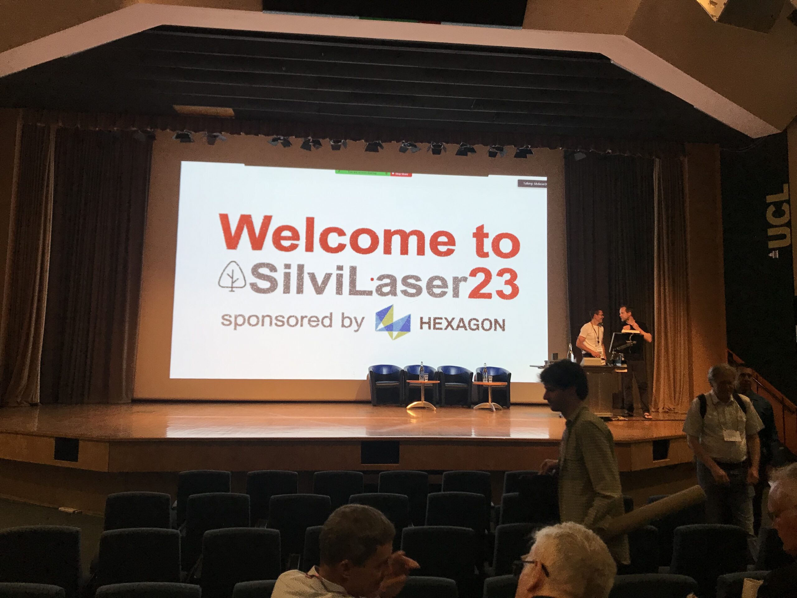
Impressions from Silvilaser 2023
Last week, our PhD student, Hannah Weiser, joined Silvilaser 2023 at University College London (UCL). The conference covers cutting-edge science and technology from the laser scanning and forest communities, which is a perfect match for Hannah’s PhD topic and 3DGeo research in general. The week started off with interesting workshops on Tuesday using some of…
-
Final meeting of the E-TRAINEE project
Last week, the 3DGeo research group hosted the final meeting of the E-TRAINEE project, finally and for the first time in presence. For almost three years now, we have been developing a research-oriented open-source e-learning course – soon to be published! The course on “Time Series Analysis in Remote Sensing for Understanding Human-Environment Interactions” teaches…
-
Introducing the VirtuaLearn3D Project
With VirtuaLearn3D (Virtual Laser Scanning for Machine Learning Algorithms in Geographic 3D Point Cloud Analysis), a new project of the 3DGeo group has started. The focus of this project is to enable powerful machine learning algorithms for geographic point cloud analysis by advancing the concept of virtual laser scanning to overcome the lack of training…
-
CharAct4D – Unravelling Landscape Dynamics via Automatic Characterization of Surface Activity using Geographic 4D Monitoring
With her new project CharAct4D Dr. Katharina Anders has become part of the Eliteprogramme for Postdocs of the Baden-Württemberg Stiftung, which supports early career researchers to qualify for a professorship -check the related press release by Heidelberg University. Many congratulations, Katharina! Katharina’s research interests in the 3DGeo research group are method development for 3D/4D change analysis…
-
Open Data: Multi-platform point clouds and orthophotos of the inland dune in Sandhausen
The commune Sandhausen (Baden-Württemberg) got its name from the inland dune, which is located in the area of the village. In 2021 and 2022, the 3DGeo group of Heidelberg University conducted UAV-based and ground-based surveys of three areas of the inland dune of Sandhausen to acquire 3D point clouds and orthophotos. The dataset is freely and…
-
Continued multisource 3D point cloud acquisition at the AHK rock glacier
While the impacts of global warming and current heat waves on glaciated areas have been in the focus of media reporting in recent weeks, also the dynamics of rock glaciers as part of the periglacial environment are strongly affected by changing climate. Rock glaciers are creep phenomena of mountain permafrost and an integral part of…
-
Data description paper: Individual tree point clouds and tree measurements from multi-platform laser scanning in German forests
New data description paper on our tree point cloud dataset was just published Today, our data description paper was published in the open access Journal Earth System Science Data: Weiser, H., Schäfer, J., Winiwarter, L., Krašovec, N., Fassnacht, F. E., and Höfle, B. (2022): Individual tree point clouds and tree measurements from multi-platform laser scanning…
-
3DGeo contributions to ISPRS Congress 2022 now online
From 5 June – 11 June 2022 the ISPRS Congress took place in Nice, France. The 3DGeo research group had three paper contributions which can now be found online: (1) Virtual Laser Scanning of Dynamic Scenes Created From Real 4D Topographic Point Cloud Data. Find all details in the video (link) and paper and check…
-
Praktikum Scientific Software Development
Die 3DGeo Forschungsgruppe (https://uni-heidelberg.de/3dgeo) der Abteilung Geoinformatik an der Universität Heidelberg sucht eine qualifizierte und motivierte Person für ein Praktikum als Scientific Software Developer*in (w/m/d) für einen Zeitraum von 3 bis 6 Monaten als stud./wiss. Hilfskraft. Im Anschluss besteht generell die Möglichkeit der Verlängerung oder die Bewerbung auf eine Stelle als wiss. Mitarbeiter*in (w/m/d). Die 3DGeo-Forschung…
-
New paper on “improving change analysis with full temporal information”
In recently published work, we show how change analysis from near-continuous 3D time series improves by considering full temporal information. How can it be done? Using 4D objects-by-change! The method was applied to an hourly time series of terrestrial laser scans acquired for snow cover monitoring. In the snow-covered scene at the Zugspitze ski resort,…