

Category: 3D
-
Kick-off: AImon5.0 – Real-time monitoring of gravitational mass movements for critical infrastructure risk management with AI-assisted 3D metrology
In September 2023, our new research project AImon5.0 has been kicked-off. In this project the open-source frameworks HELIOS++ and py4dgeo of the 3DGeo research group will be combined to enhance current approaches for operational risk monitoring. AImon5.0 is an interdisciplinary collaboration project of the 3DGeo research group with DMT GmbH & Co. KG (project leader),…
-
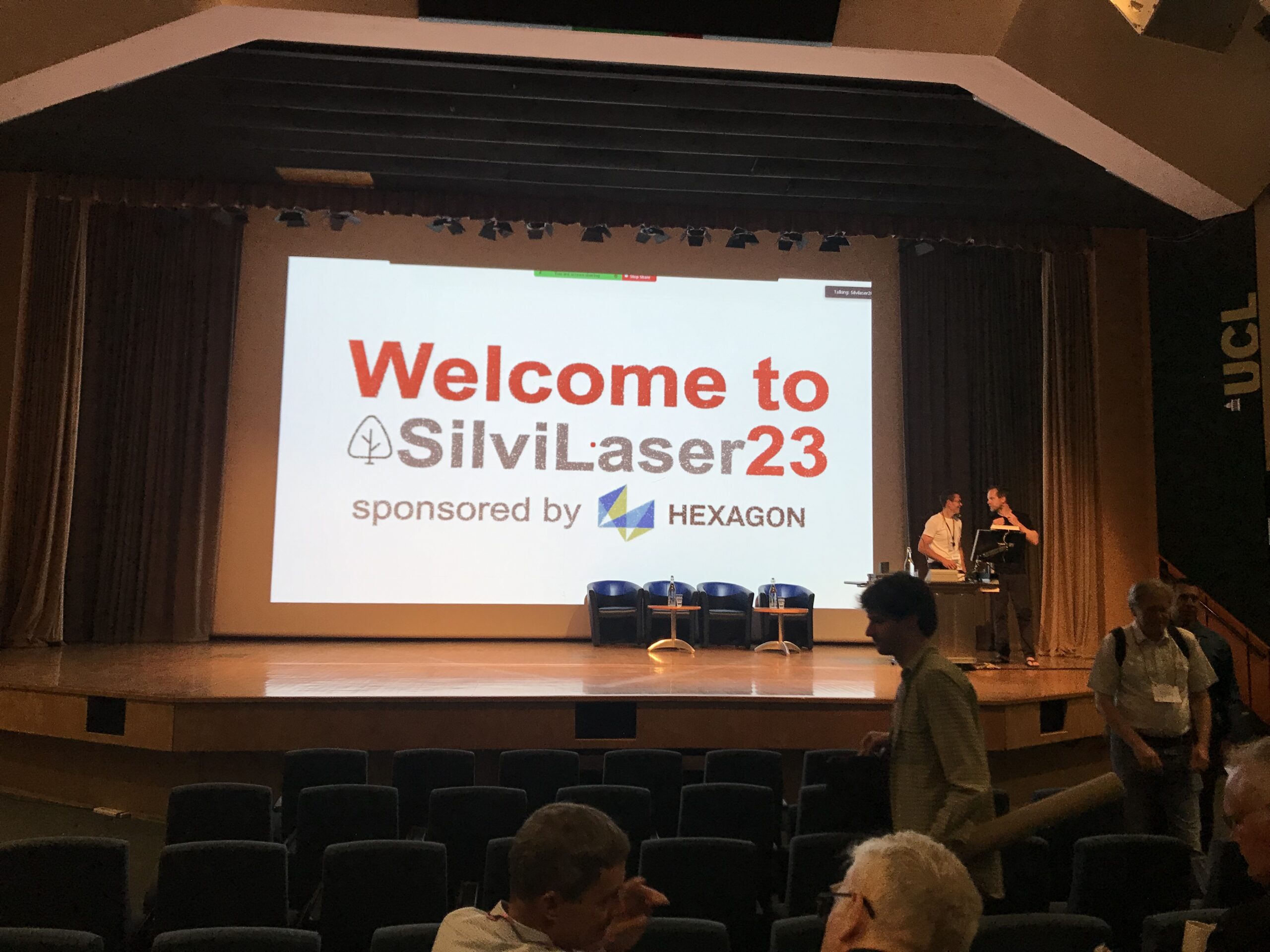
Impressions from Silvilaser 2023
Last week, our PhD student, Hannah Weiser, joined Silvilaser 2023 at University College London (UCL). The conference covers cutting-edge science and technology from the laser scanning and forest communities, which is a perfect match for Hannah’s PhD topic and 3DGeo research in general. The week started off with interesting workshops on Tuesday using some of…
-
Final meeting of the E-TRAINEE project
Last week, the 3DGeo research group hosted the final meeting of the E-TRAINEE project, finally and for the first time in presence. For almost three years now, we have been developing a research-oriented open-source e-learning course – soon to be published! The course on “Time Series Analysis in Remote Sensing for Understanding Human-Environment Interactions” teaches…
-
Introducing the VirtuaLearn3D Project
With VirtuaLearn3D (Virtual Laser Scanning for Machine Learning Algorithms in Geographic 3D Point Cloud Analysis), a new project of the 3DGeo group has started. The focus of this project is to enable powerful machine learning algorithms for geographic point cloud analysis by advancing the concept of virtual laser scanning to overcome the lack of training…
-
CharAct4D – Unravelling Landscape Dynamics via Automatic Characterization of Surface Activity using Geographic 4D Monitoring
With her new project CharAct4D Dr. Katharina Anders has become part of the Eliteprogramme for Postdocs of the Baden-Württemberg Stiftung, which supports early career researchers to qualify for a professorship -check the related press release by Heidelberg University. Many congratulations, Katharina! Katharina’s research interests in the 3DGeo research group are method development for 3D/4D change analysis…
-
Data publication: Point clouds of snow-on and snow-off forest site
A new dataset of UAV and terrestrial laser scanning point clouds of snow-on and snow-off conditions at a Black Forest site (Hundseck, 48.643°N, 8.228°E) was published open access: Winiwarter, L., Anders, K., Battuvshin, G., Menzel, L. & Höfle, B. (2023): UAV laser scanning and terrestrial laser scanning point clouds of snow-on and snow-off conditions of…
-
New paper on the automatic characterization of surface activities from 4D point clouds
An approach for automatic characterization of surface activities from large 4D point clouds is presented in a new paper by Daan Hulskemper et al. in collaboration between the 3DGeo research group and the departments of Geoscience and Remote Sensing and Coastal Engineering at TU Delft. Hulskemper, D., Anders, K., Antolínez, J. A. Á., Kuschnerus, M.,…
-
Open Data: Multi-platform point clouds and orthophotos of the inland dune in Sandhausen
The commune Sandhausen (Baden-Württemberg) got its name from the inland dune, which is located in the area of the village. In 2021 and 2022, the 3DGeo group of Heidelberg University conducted UAV-based and ground-based surveys of three areas of the inland dune of Sandhausen to acquire 3D point clouds and orthophotos. The dataset is freely and…
-
Improved Performance of HELIOS++ using High Performance Computing Techniques
The software HELIOS++ simulates the laser scanning of a given virtual scene that can be composed of different spatial primitives and 3D meshes with distinct granularity. The high computational cost of this type of simulation software demands efficient computational solutions. Classical solutions based on GPU are not well suited when irregular geometries compose the scene…
-
New(s) story about Sensing Mountains Summer School 2022
The fourth edition of the Innsbruck Summer School of Alpine Research took place in September 2022, finally back in the lovely mountain landscape of the Ötztal valley in Tyrol, Austria. Once again, 40 participants – young researchers from all over the world – gathered in Obergurgl to learn and exchange about new concepts and solutions…
-
New paper: Capturing complex star dune dynamics – repeated highly accurate surveys combining multitemporal 3D topographic measurements and local wind data
Morphologies of highly complex star dunes are the result of aeolian dynamics in past and present times. These dynamics reflect climatic conditions and associated forces like sediment availability and vegetation cover, as well as feedbacks with adjacent environments. However, an understanding of aeolian dynamics on star dune morphometries is still lacking sufficient detail, and their…
-
Human-in-the-loop development of spatially adaptive ground point filtering pipelines — An archaeological case study
LiDAR data have become indispensable for research in archaeology and a variety of other topographic applications. To derive products (e.g. digital terrain or feature models, individual trees, buildings), the 3D LiDAR points representing the desired objects of interest within the acquired and georeferenced point cloud need to be identified. This process is known as classification,…