

Morphologies of highly complex star dunes are the result of aeolian dynamics in past and present times. These dynamics reflect climatic conditions and associated forces like sediment availability and vegetation cover, as well as feedbacks with adjacent environments. However, an understanding of aeolian dynamics on star dune morphometries is still lacking sufficient detail, and their influence on formation and evolution remains unclear.
In a new paper, the research groups on Geomorphology and 3DGeo at Heidelberg University present an investigation of the dynamics of a complex star dune in Erg Chebbi, Morocco. The analysis compares wind measurements to morphometric changes derived from multitemporal high-accuracy 3D observations during two surveys (October 2018 and February 2020) to derive the reaction of a star dune surface to an observed constant unimodal sand-moving wind. TLS point clouds are used for morphometric analysis as well as direct surface change analysis, which relates to sand transport.

3D surface changes between 2018 and 2020 indicating accumulation (positive changes) and erosion (negative changes) and corresponding sand rose (Herzog et al., 2022).
The results point to a self-sustained dune growth, which has not yet been described in such spatial detail. Steep slopes, often found on star dunes around the globe, seem to partly hinder upslope sand transport. The analysis approach of combining meteorological data and high-resolution multitemporal 3D elevation models can be used for monitoring all dune forms and contributes to a general understanding of dune dynamics and evolution.
Find all details in the full paper:
Herzog, M., Anders, K., Höfle, B. & Bubenzer, O. (2022): Capturing complex star dune dynamics—repeated highly accurate surveys combining multitemporal 3D topographic measurements and local wind data. Earth Surface Processes and Landforms, 47 (11), pp. 2726-2739. DOI: 10.1002/esp.5420.
Open Access funding enabled and organized by Projekt DEAL.
The data used for analyses in this paper is available on the data repository of Heidelberg University: https://doi.org/10.11588/data/ZAMGCL.
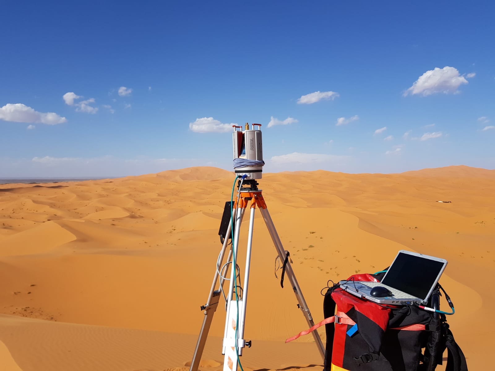
Terrestrial laser scanning (TLS) during field campaign in Erg Chebbi, Morocco.
Find more information about the field campaigns in previous blog posts.