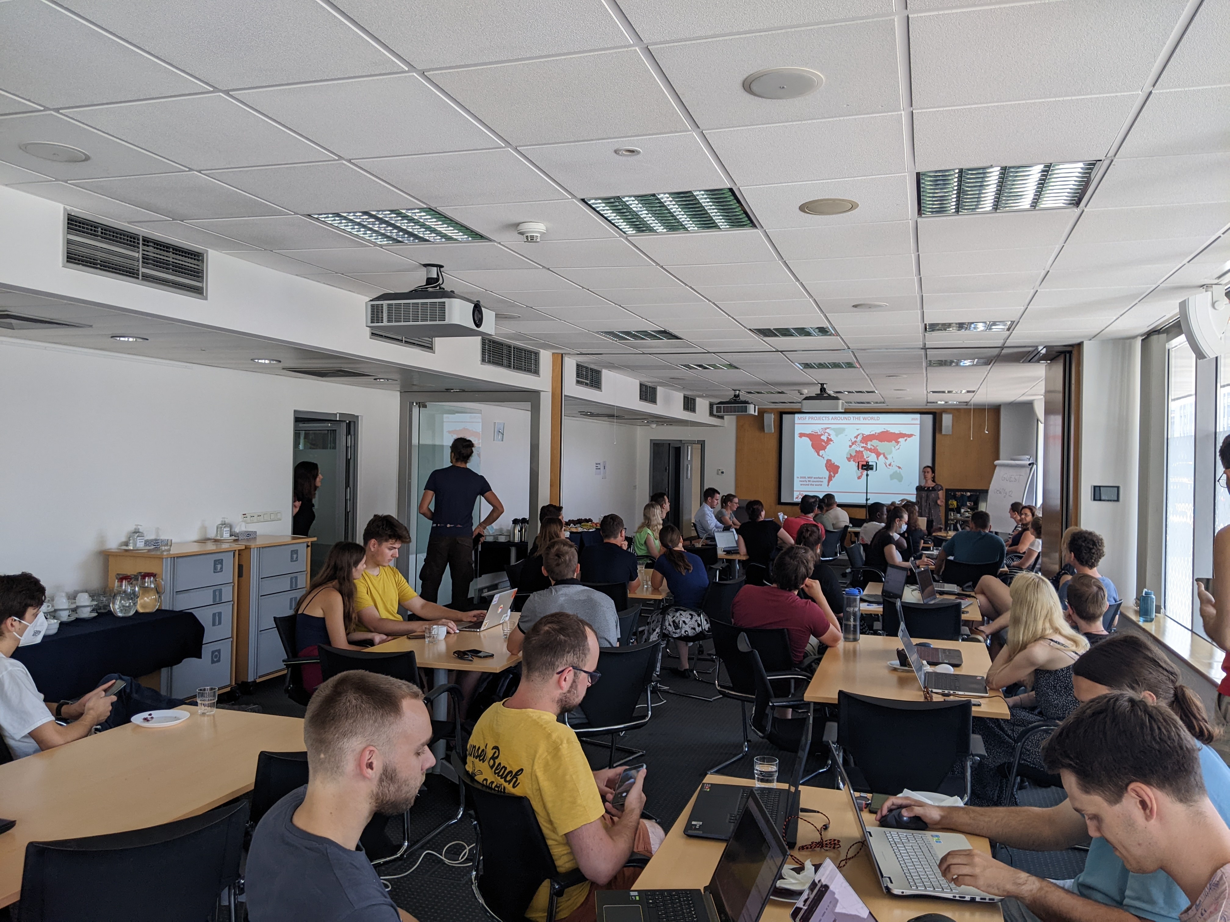
This June, MSF (Médecins Sans Frontières) GIS Week 2022 was held in person again in beautiful Prague. Nearly the entire MSF team dealing with geo-data and geospatial analysis congregated at the event, which presented a fantastic opportunity to learn more about the current use of GIS within MSF and to discuss its future strategic importance.
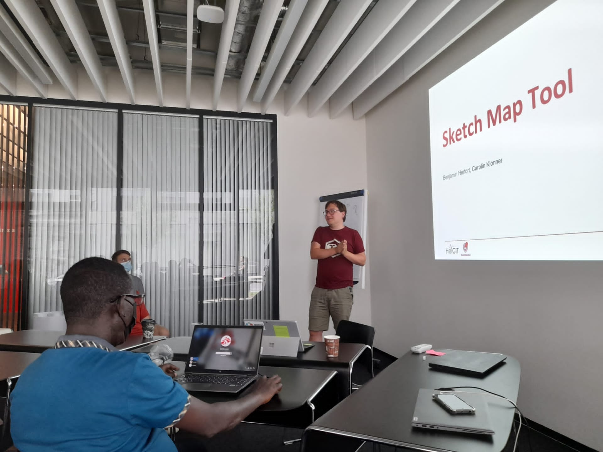
From our own team, Benjamin Herfort and Marcel Reinmuth participated in sessions, offered a hands-on workshop concerning accessibility analysis, and facilitated a discussion round on participatory mapping. We presented the current version of the Sketch Map Tool and its applications in Madagascar and in a waterproofing data project. Afterwards, participants considered the potential for these types of tools to collect local data in collaboration with communities. The accessibility analysis session covered a brief theoretical introduction into two methods: cost-raster-based and network-based accessibility. The post-presentation conversation focused on limitations of the methods in the field and data quality challenges. The second portion of the accessibility session featured a hands-on exploration of the methods in QGIS using examples from the field such as access to water and health.
The event was complemented by an evening Mapathon hosted by the local Czech Missing Maps community, which presented an opportunity to develop skills in validation and validator training with special attention the the many JOSM plugins used for this purpose. Over 50 people attended the Mapathon and joined conversations about the potential value of creating footprints derived from deep learning approaches to improve OSM data coverage and how MapSwipe could help with this task.
You can find further resources and material here:
Materials of the accessibility workshop: https://heibox.uni-heidelberg.de/d/929fa3680ff648ecb65a
SketchMapTool: https://www.geog.uni-heidelberg.de/gis/sketchmaptool.html
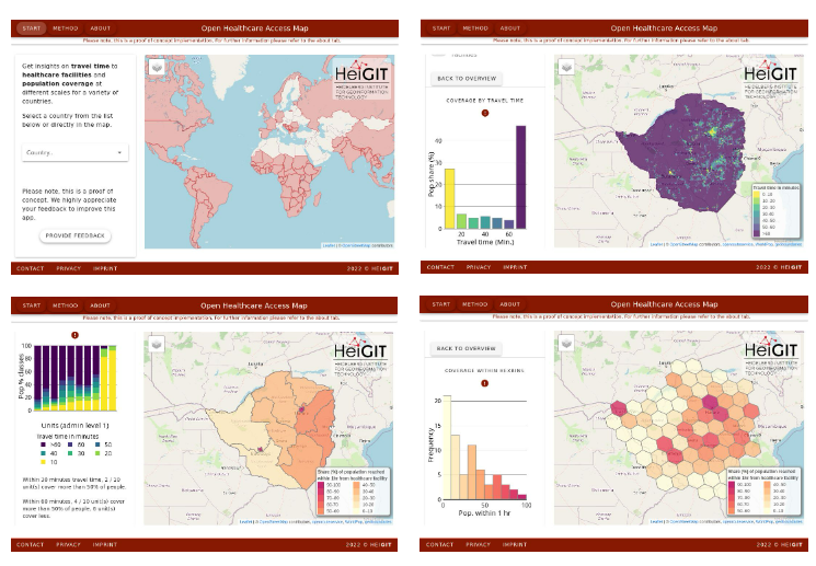
OpenHealthCareAccessMap: https://apps.heigit.org/healthcare_access/#/


