

Tag: Sketch Map Tool
-
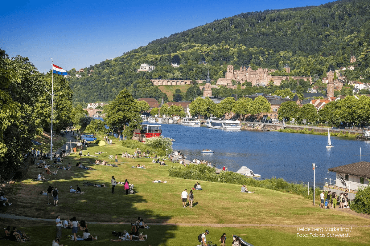
Heat perception of Heidelberg residents using the Sketch Map Tool and KoboToolbox
Students of the Institute of Geography at Heidelberg University explored local perceptions of urban heat in Heidelberg’s old town as part of a 2024 seminar on GIS for Disaster Risk Reduction and Humanitarian Aid. The project, supported by Heidelberg Institute for Geoinformation Technology (HeiGIT), tested participatory mapping using the Sketch Map Tool combined with KoboToolbox. The…
-
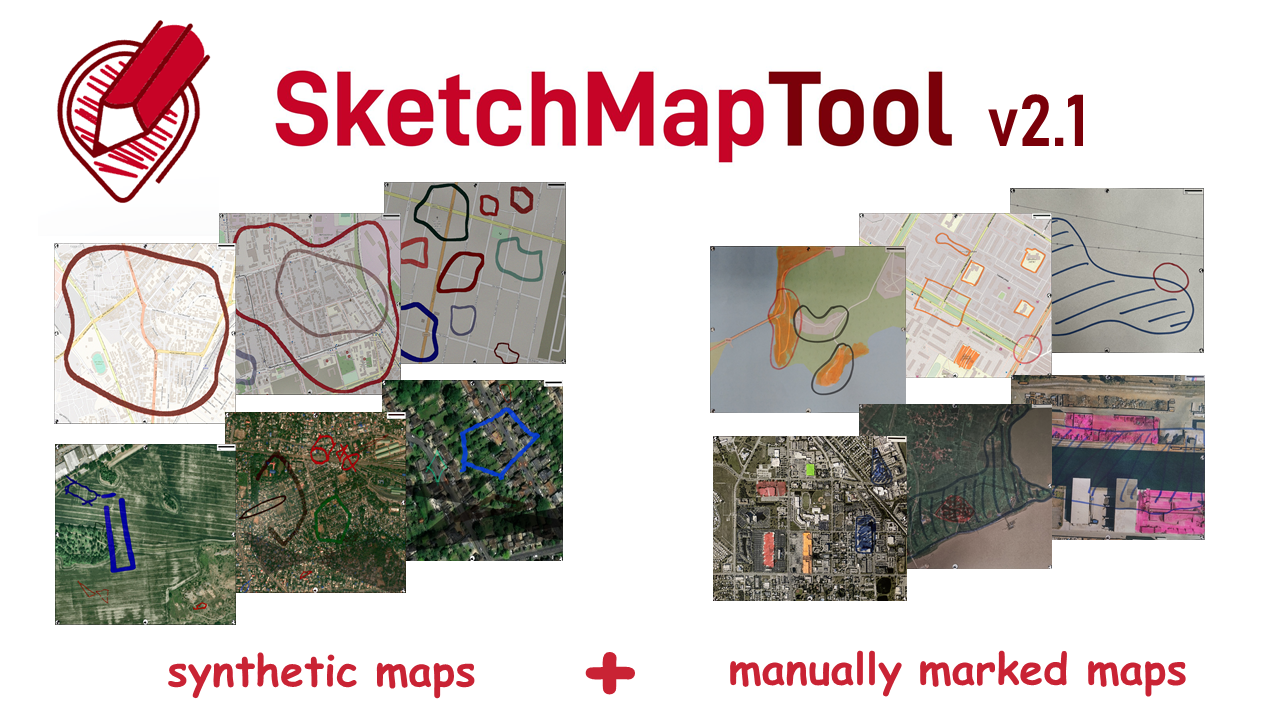
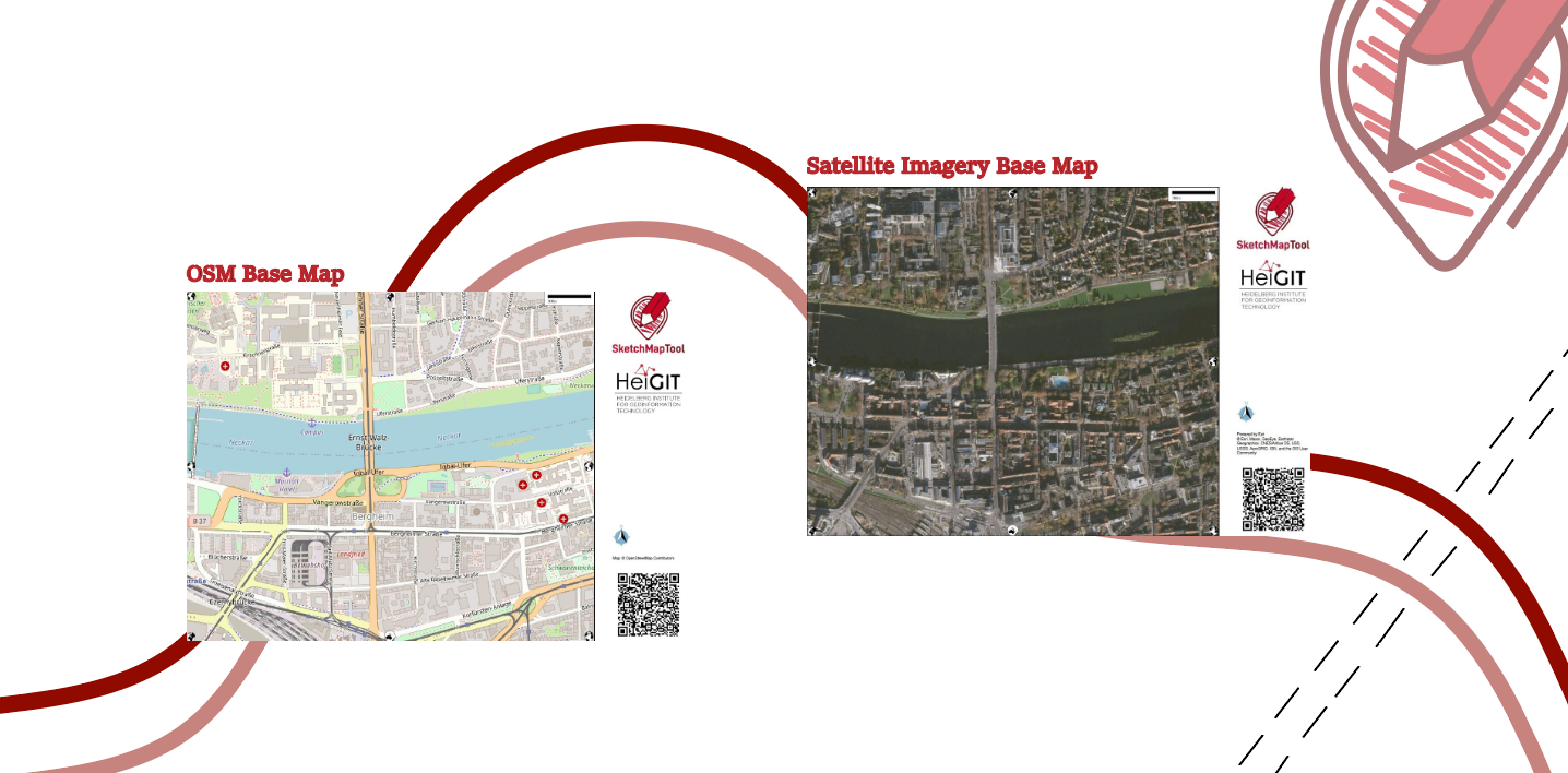
Digitizing Maps with SketchMapTool v2.1: Enhanced Sketch Detection and Global Impact
The newly released Sketch Map Tool v2.1 features a higher accuracy in digitizing hand-sketched markings on Sketch Maps, thanks to a larger training dataset and an updated machine learning model for sketch detection. New user metrics show that thousands of Sketch Maps are created every month all over the world. The Sketch Map Tool The…
-
Sketch Map Tool Updates and Video Introduction
We are happy to share new developments on our ongoing work with the Sketch Map Tool! To help you better understand the tool, its key functionalities, and potential applications, we have included an introductory video. We require your explicit consent to use your Sketch Maps for training purposes. Sharing your data is entirely optional, and…
-
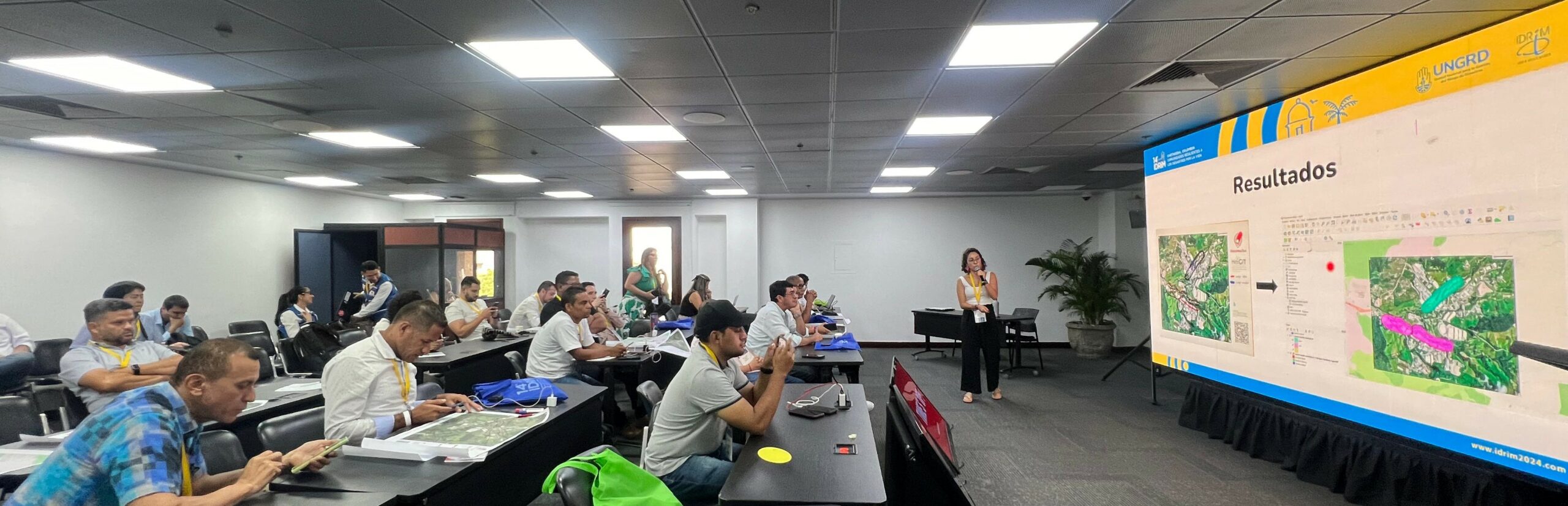
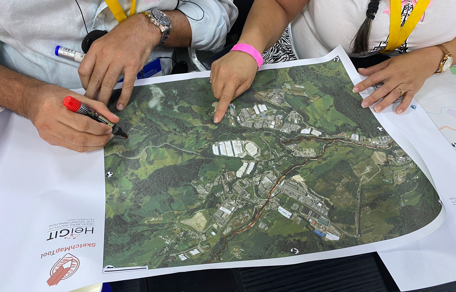
Digitalizing Paper-based Participatory Risk Mapping with the Sketch Map Tool – IDRiM 2024. Cartagena, Colombia
HeiGIT, the Colombian Red Cross (CRC), Colombia’s National University in Manizales (UNAL) and UBDC successfully ran the international workshop “Digitalizing Paper-based Participatory Risk Mapping with the Sketch Map Tool” at the IDRiM 2024 in Cartagena, Colombia on 29th of September 2024. This was the first time the conference was held in South America, with over…
-
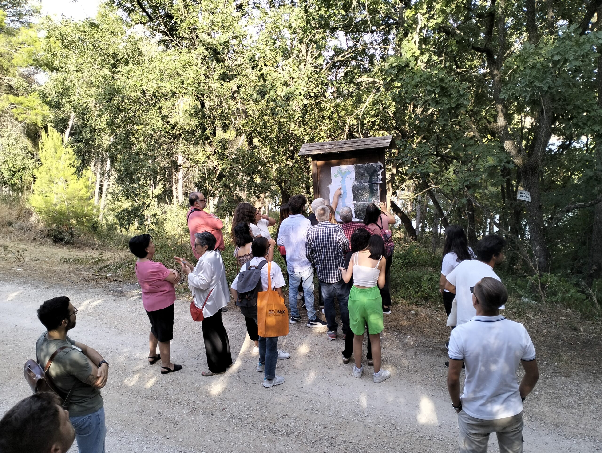
Participatory Mapping for Cultural Landmarks
Claudio Sossio De Simone is a PhD candidate at the University of Rome Tor Vergata in the field of Cultural Heritage, Education and Territory. His research interests include GIS science and geoinformation applied to cultural heritage, as well as the geo-historical study of rural landscapes. The Sketch Map Tool was used as part of his…
-
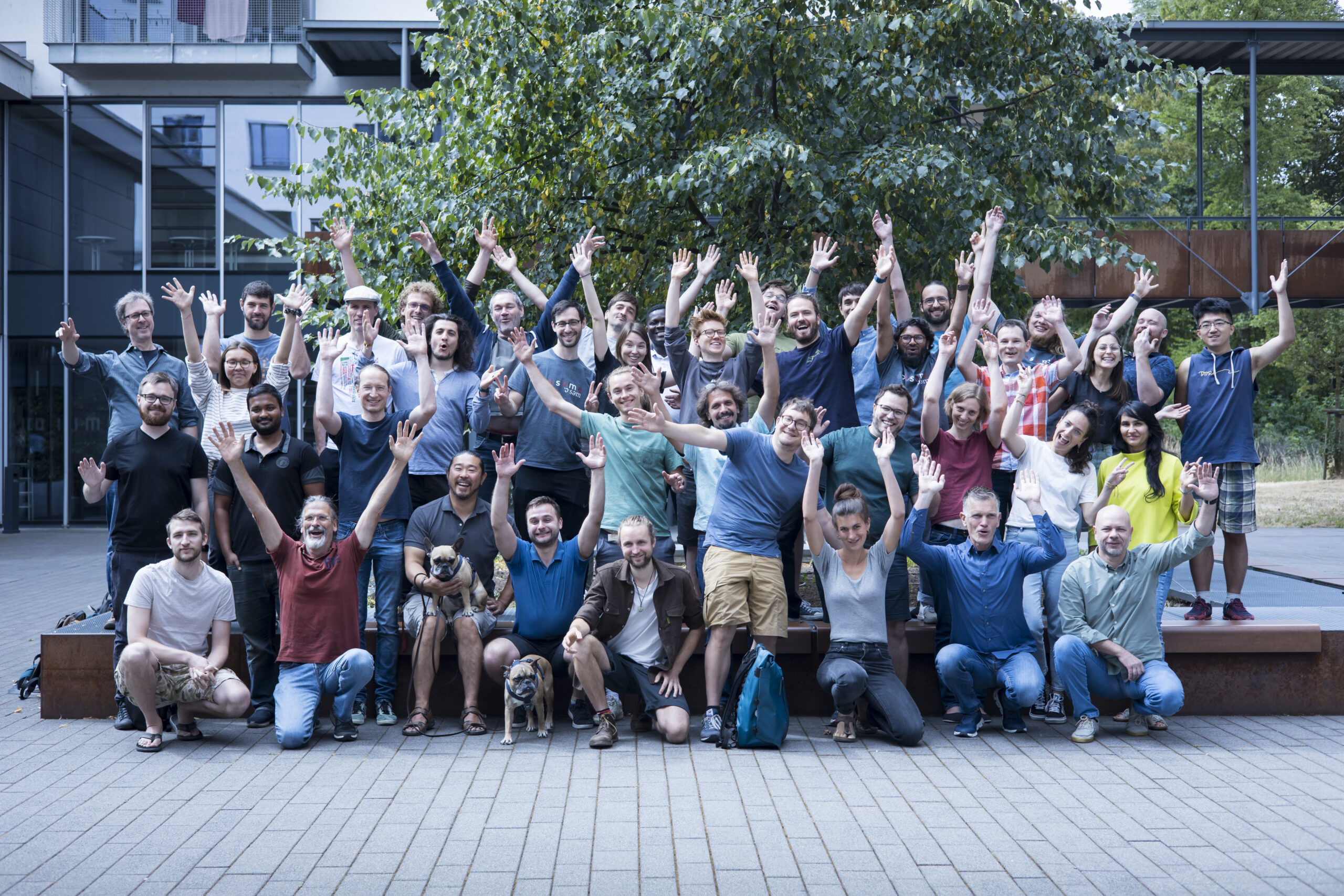
HeiGIT’s 5 Years Milestone: Looking Back at our Achievements
HeiGIT is celebrating its fifth anniversary today, July 1st! To commemorate this occasion, we invite you to join us on a little walk down memory lane. As we reflect on our achievements and the milestones we have reached, we want to express our deepest gratitude to the partners, projects and people that have made our…
-
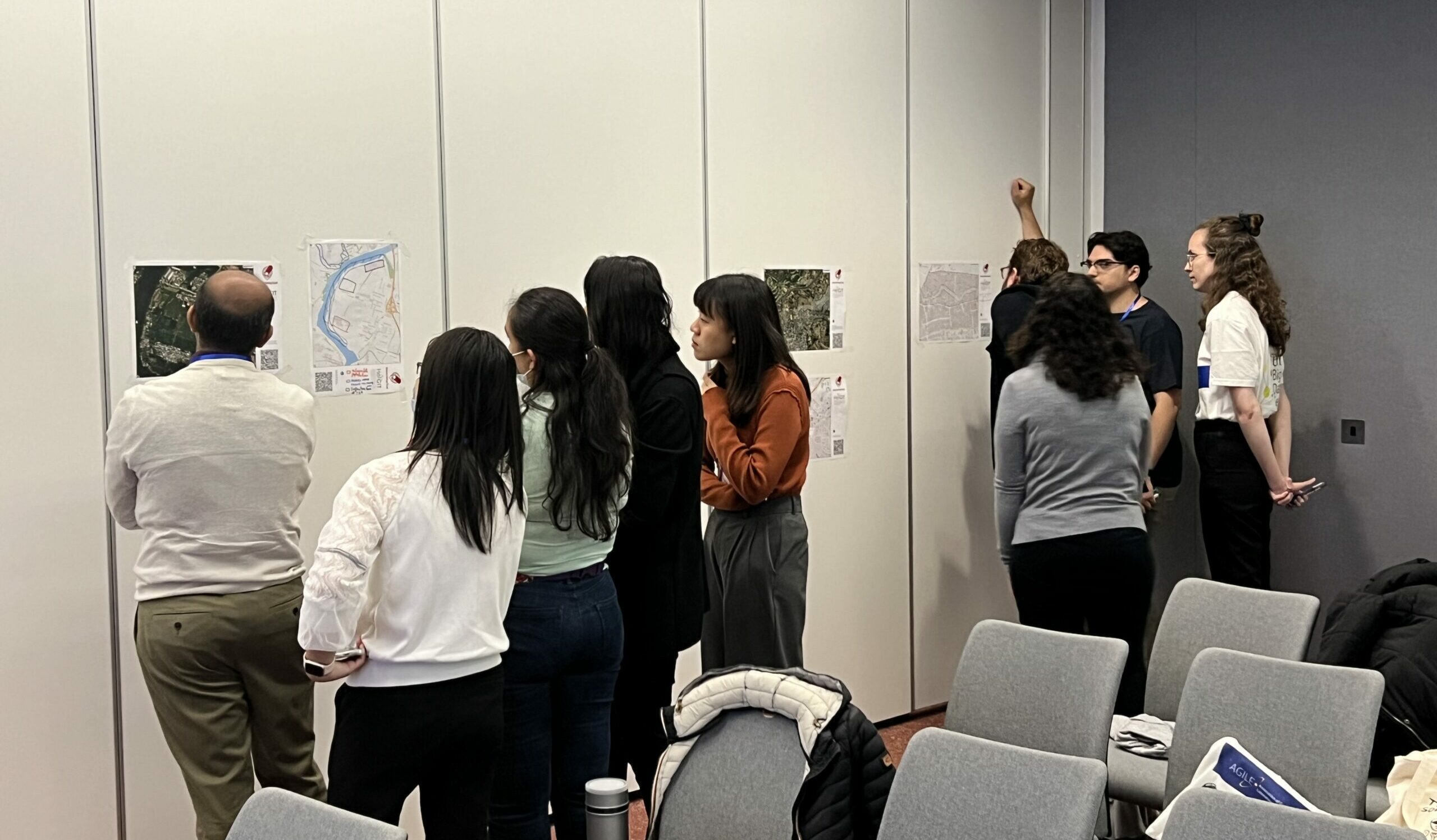
Mapping With Communities workshop at AGILE 2024
HeiGIT and Urban Big Data Centre (UBDC) hosted a successful international workshop entitled ‘Mapping with Communities’ at the AGILE 2024 conference in Glasgow, Scotland, UK. Responding to the conference theme of ‘Geographic Information Science for a Sustainable Future’ two teams facilitated activities with researchers from various European GI Science research centers. The Glasgow workshop followed the first event…
-
Waterproofing Data – Engaging Stakeholders in Sustainable Flood Risk Governance for Urban Resilience
Join us at Impact Day on May 15th in the foyer of the Neue Universität, organized by the Heidelberg University! The event will showcase the university’s knowledge and technology transfer, spotlighting projects across four focal areas: socially relevant, industrial, sustainable and tangible. The “Socially Relevant” island addresses pressing social issues, while the “Industrial” island highlights…
-
Call for contributions!
Excited to announce the CALL FOR CONTRIBUTIONS! Are you passionate about mapping with communities? Join us at the “Mapping with communities: Contemporary approaches and challenges” workshop at AGILE 2024 conference on June 04. Share your experiences, methodologies, and digital innovations in engaging communities with geospatial data. Submit your extended abstract by May 20 to mappingwithcomm@glasgow.ac.uk.
-
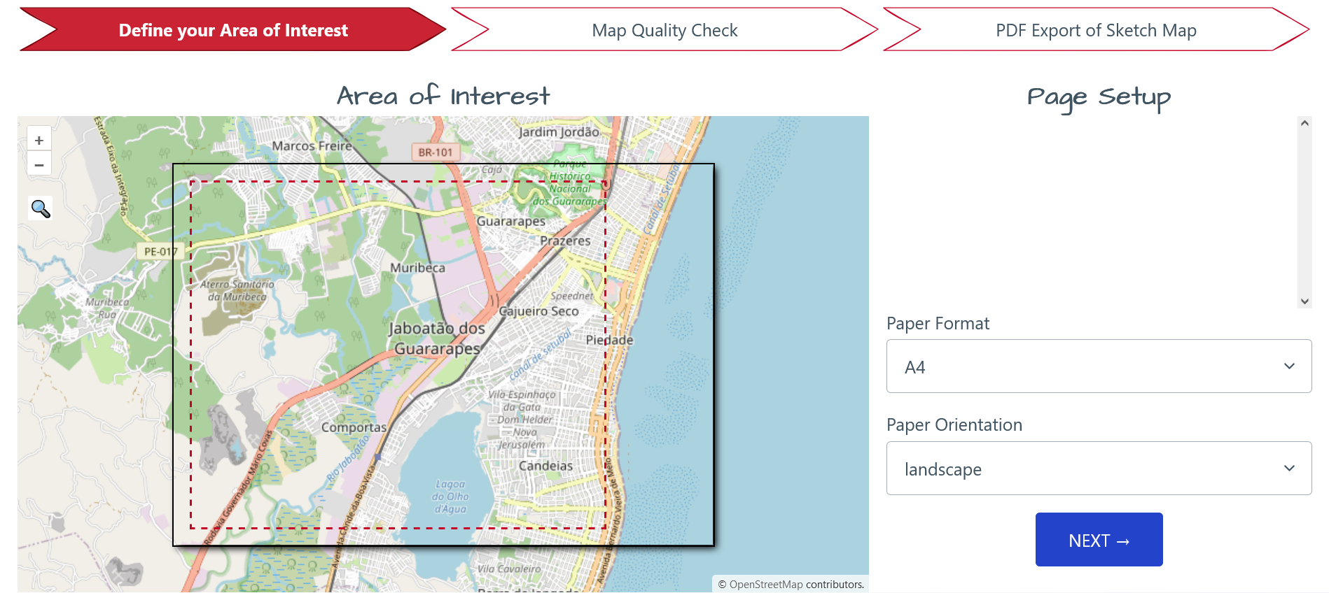
Unveiling the Sketch Map Tool 2.0: A Comprehensive Overview of New Features and Training Opportunities
The HeiGIT gGmbH (Heidelberg Institute for Geoinformation Technology) team has just released a version 2.0 of the Sketch Map Tool, a low-tech solution for participatory sketch mapping through offline data collection, digitization and georeferencing of local spatial knowledge. Thanks to continuous support from the German Red Cross and financial support by the German Federal Foreign Office, the HeiGIT tool has undergone significant enhancements. These updates introduce new features aimed…
-
‘Waterproofing Data’ Project wins ESRC Celebrating Impact Prize 2023
The “Waterproofing Data” project has won the ESRC Celebrating Impact Prize 2023 in the category “Outstanding Societal Impact” for helping to protect residents of flood-prone areas in Brazil. In 2018, Joao Porto de Albuquerque from the University of Glasgow initiated the project in which HeiGIT is also involved. The main goal of this project is…
-
The Year 2023 at HeiGIT
As 2023 is coming to an end, we would like to take the opportunity to look back at this eventful year and appreciate the advance that HeiGIT has made towards its goal of enabling and improving the transfer of knowledge and technology. Thanks to the collective efforts of each team member and the GIScience community,…