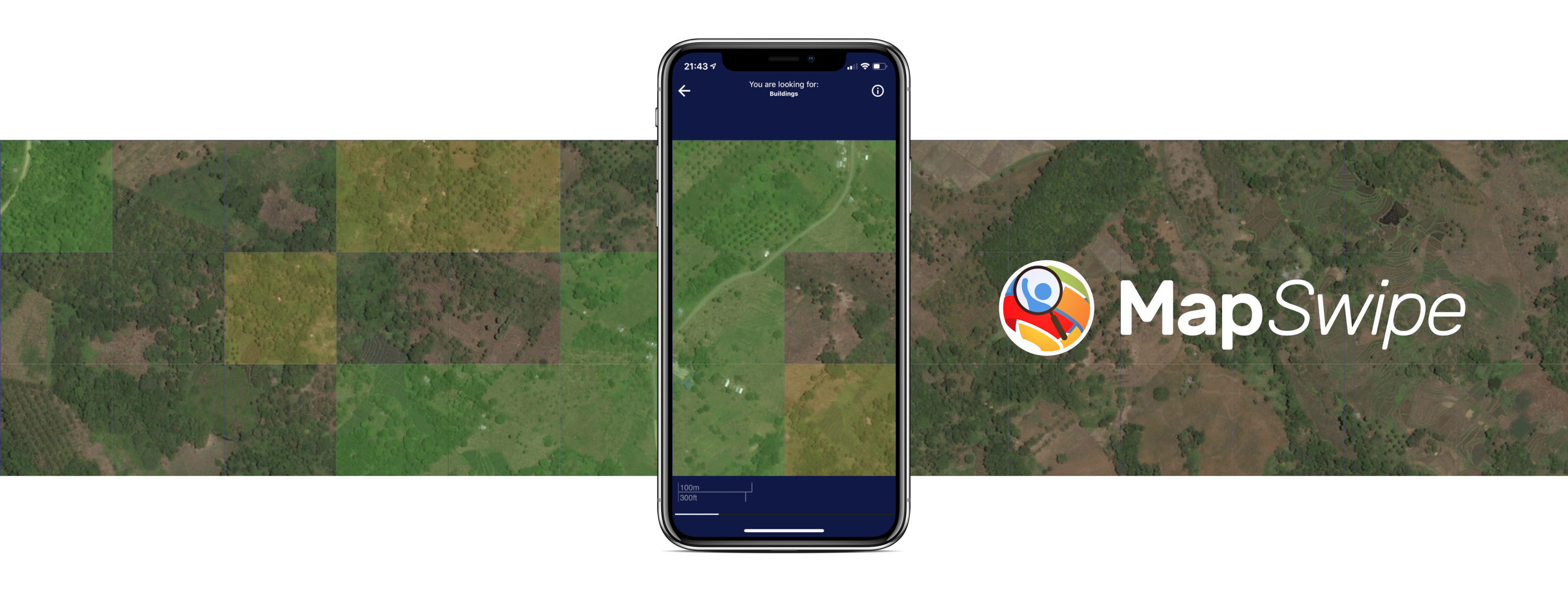
MapSwipe has ben announced as ‘App of the Day‘ in the Apple AppStore! (27.08.2021)
Thank you to all our volunteers for the continued help and support which keeps the app going.
Read the blogpost here: https://apps.apple.com/ca/story/id1559236909

The team at the Heidelberg Institute for Geoinformation Technology (HeiGIT) and the GIScience Research Group at Heidelberg University has shaped MapSwipe’s development from the very beginning by designing the crowdsourcing approach behind MapSwipe, providing the tools needed to manage such a global project and make use of the data in timely manner. As part of the Missing Maps project, MapSwipe is a mobile app that was created to crowdsource map data from a network of global volunteers – just one swipe at a time. Individuals, volunteers from communities all over the world, can swipe through the app and tap areas where they find crucial infrastructure such as buildings and roads, identify changes in areas.
MapSwipe is an open source project built and maintained by volunteers, with the support of the British Red Cross, HeiGIT and the GIScience Research Group, Humanitarian OpenStreetMap Team and Medecins Sans Frontieres. The projects have supported a range of missions and global organizations, such as the Red Cross Red Crescent Movement and Medecins Sans Frontieres, as well as local NGOs like the Tanzania Development Trust and MapPH.
Once a project has been requested by a community, the MapSwipe team creates it in the app, using imagery from a variety of sources and creating instructions that help the user to understand what to look for and the resulting action they should take. Each set of imagery is viewed by at least 3 individuals to improve data-quality. Users can track their impact, receiving badges for the distance swiped.
Through the research at HeiGIT and GIScience Research Group Heidelberg University it will soon be able to use machine-learning technologies to improve the open mapping. HeiGIT provides an API for enriched data sets based on MapSwipe results for humanitarian organization, develops and researches new project types such as for change detection, building validation or improving data completeness and also develops tutorials to help users contribute better data, to name a few Heidelberg contributions since the initial concept development. It is also used in our current research projects, such as LOKI or UnderCoverEisagenten
The team behind MapSwipe wants to send a big “Thank You” to all our passionate volunteers that keep on swiping day to day and help us filling the missing maps.
More MapSwipe related news: http://giscienceblog.uni-hd.de/tag/mapswipe/
- The initial MapSwipe idea and prototype developed by us:
- Albuquerque, J. P., B. Herfort, and M. Eckle. “The tasks of the crowd: A typology of tasks in geographic information crowdsourcing and a case study in humanitarian mapping.” Remote Sensing 8.10 (2016): 859.
- First analysis of MapSwipe data quality:
- Herfort, B., Reinmuth, M., Albuquerque, J.P., Zipf, A. (2017): Towards evaluating crowdsourced image classification on mobile devices to generate geographic information about human settlements. Proceedings of the 20th AGILE Conference on Geographic Information Science (2017). Wageningen, NL, Association of Geographic Information Laboratories in Europe: 1-7.
- Recent work on combining machine learning, artificial intelligence and MapSwipe:
- Herfort, B., Li, H., Fendrich, S., Lautenbach, S., Zipf, A. (2019): Mapping Human Settlements with Higher Accuracy and Less Volunteer Efforts by Combining Crowdsourcing and Deep Learning. Remote Sensing 11(15), 1799. https://doi.org/10.3390/rs11151799
- Chen, J., Y. Zhou, A. Zipf and H. Fan (2018): Deep Learning from Multiple Crowds: A Case Study of Humanitarian Mapping. IEEE Transactions on Geoscience and Remote Sensing (TGRS). 1-10. https://doi.org/10.1109/TGRS.2018.2868748
- Li, H., Herfort, B., Zipf, A. (2019): Estimating OpenStreetMap Missing Built-up Areas using Pre-trained Deep Neural Networks. Proceedings of the 22nd AGILE Conference on Geographic Information Science, Association of Geographic Information Laboratories in Europe. Limassol, Cyprus.
- Overview about Missing Maps and Humanitarian Mapping:
- Herfort, B., Lautenbach, S., Porto de Albuquerque, J., Anderson, J., Zipf, A. (2021): The evolution of humanitarian mapping within the OpenStreetMap community. Scientific Reports 11, 3037 (2021). DOI: 10.1038/s41598-021-82404-z https://www.nature.com/articles/s41598-021-82404-z
- Scholz, S., Knight, P., Eckle, M., Marx, S., Zipf, A. (2018): Volunteered Geographic Information for Disaster Risk Reduction: The Missing Maps Approach and Its Potential within the Red Cross and Red Crescent Movement. Remote Sens., 10(8), 1239, doi: 10.3390/rs10081239.


