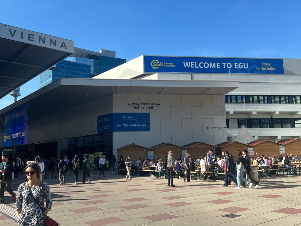
3DGeo at AGU21 Fall Meeting

The 3DGeo research group is part of the AGU Fall Meeting from 13 – 17 December 2021 with the following topics and contributions:

1) Hypersurface Observation Network (Hyperon) — What it is and why we need it (Monday, 13 December 2021 16:00 – 18:00 CST)

In the terrestrial domain, large biogeochemical and energetic uncertainties surround the soil-plant-atmosphere continuum of forests, leading to wide disagreement in the projected land carbon sink and global carbon balance. This is largely due to an absence of global observation networks providing coincident information on the structure, composition, and function of forests and adjacent planetary boundary layer (PBL) over space and time. Such observations are critical to learning new models of biospheric processes and improving our understanding and predictions of land-atmosphere exchange. Simultaneously, a new generation of hyper-temporal, -spatial, – spectral, and -angular (hypersensing) surface reference networks are needed to learn inversions of air- and space-borne measurements that resolve radiative-transfer uncertainties related to these land-atmosphere exchanges.

Existing terrestrial networks such as FluxNet, SpecNet, PhenoCam, AeroNet, and ForestGeo remain limited to single measurement points and domains. For example, FluxNet typically records CO2 and H2O exchanges at a single point in space using domain-specific instruments, making the measurements ungeneralizable, unrepresentative, and thus unsuited to up-scaling to Earth observation records or diagnosing Earth system models. Furthermore, adding new measurements to these systems often requires costly new instruments. Absent are generalizable surface-atmosphere observation systems able to retrieve a growing variety of observables over space and time.

Toward addressing these needs in unified Earth observation and system modeling (EOSM), we propose the Hypersurface Observation Network (Hyperon) — formerly 5DNet — a modular, intelligent, robotic, and coincident surface-atmosphere observation system. Initially focusing on forests, Hyperon is intended to cover a variety of surface domains. While previously impractical, powerful new low-cost instruments and embedded computers designed for edge inference provide an exciting opportunity to realize this goal. We provide an early conceptual overview of Hyperon, reaching out to the community to develop standards for instrument and site configuration options and a decentralized governance model for ensuring free and open science.

Erickson, A., Kumar, S.V., Hudson, D.I., Stamnes, S., Puttonen, E., Junttila, S., Pirk, S., Höfle, B., Chrostowski, L., Eitel, J. & Calders, K. (2021): Hypersurface Observation Network (Hyperon) – What it is and why we need it. In: AGU Fall Meeting 2021. Vol. AGU21 (B15G-1499), pp. 1-1.

—————————————————————-

Additionally, there are two contributions on the methods of gully detection and monitoring. These are the core research subjects of the PhD project of Miguel Orti in the 3DGeo Research Group on the development of gully identification and measurement methods combining remote sensing and crowdsourcing techniques. Find more details in previous blog posts.

2) Spatio-temporal assessment of gully activity in Namibia using Sentinel-1 SAR and Tandem-X DEM products as an instrument for land degradation neutrality (Tuesday, 14 December 2021, 10:20 – 10:30 CST)

Gully erosion is one of the most dangerous environmental threats in (semi-) arid regions. In Africa, changes in rainfall and unfavourable land-use practices have accelerated gully growth in recent decades, leading to landscape fragmentation, unbalanced watersheds runoff dynamics and desertification. National and international organizations have undertaken plans to reverse this catastrophic development. Therefore, the identification and development of standardized measurement and analytical procedures to quantify gully changes is a great necessity. The democratization of Uncrewed Aircraft Vehicles (UAV) has generated new possibilities to derive detailed 4D models (i.e. 3D surface changes over time). However, gullies frequently affect very large and inaccessible areas, as is the case of Namibia, and more remote and scalable solutions are required. Sentinel-1 radar sensors offer possibilities to study physical soil features and small-scale terrain deformation patterns through the signal backscattered intensity (sigma) and the electromagnetic wave phase coherence. Time series of both variables were studied in a large gully in Namibia’s Kunene Region between July 2019 and June 2021, incorporating two rainy seasons. As radar coherence is higher in gully zones due to the high soil compaction and the consequent lack of vegetation, low coherence periods is a proxy of terrain changes and gully activity. In this sense, comparing 19/20 and 20/21 wet seasons, the first one was more active in its erosion activity, as coherence was 10-15% lower in the gully areas. These results correlate well with the closest meteorological station records, which registered a much higher rainfall in 2019/2020 (>300 mm) than in 2020/21 (<100 mm). Zonal analysis confirms through the absolute differences in sigma images between the beginning and end of each season that the 19/20 season was more active in the gully areas than the 20/21. This result indicates greater activity in the east margin of the gully especially in the zones close to its external walls, with a more stable interior area. Preliminary findings show good temporal linking with rainfall rates, however, accurate validation is required for the zonal analysis using ultra-high resolution UAV imagery and 3D point clouds captured in the study area before and after each rainy season.

Orti, M., Höfle, B., Bubenzer, O. & Negussie, K. (2021): Spatio-temporal assessment of gully activity in Namibia using Sentinel-1 SAR and Tandem-X DEM products as an instrument for land degradation neutrality. In: AGU Fall Meeting 2021. Vol. AGU21 (GC43E-08), pp. 1-1.

3) Identifying and describing the impact of gully erosion in the livelihoods and properties of traditional Himba communities in Kaokoland (Namibia) as a driver of regional migration (Tuesday 16 December 13:25 – 13:30 CST)

Gully erosion is an accelerator of land degradation and one of the most critical agents threatening the environment in Namibia’s north-western region. Large gullies dominating alluvial valleys expand each year during the short but intense rains, leading to a reduction of arable land and grazing areas, a destruction of roads, cattle paths, agricultural facilities and houses, prompting territorial fragmentation and the geographical isolation of local communities. In contrast, gullies can also act as a linear oasis while providing several benefits to their inhabitants. This research aims to describe the mutual influences between a large gully and the local communities in a valley extended towards the south from Opuwo, inhabited by the same native Himba families for several generations. In-situ surveys show that the gully is a general concern in the area due to the insecurity and direct physical risk it poses to humans and their domestic animals. The second factor of distress is the accelerating land degradation in the valley, leading to the disappearance of grazing areas, forcing local shepherds to travel further in their transhumance. Ortho-imagery and spatial analysis shows that 10% of the houses, 25% of the Kraals and 50% of the gardens are less than 50 metres away from the gully border, and therefore they are in current or potential risk of abandonment, forcing eventual re‑settlements and migrations. Moreover, indigenous knowledge arises that the gully also offers a few advantages, like its ability to store water during the dry season. These benefits are frequently seen as a trap or an associated risk for the animals and children getting in the gully. To this end, it is noticeable that as the gully affects the communities and its livelihoods, they also acts as a driver of development for the gully through its agricultural and livestock practices. This is evident by the appearance of the gully heads on paths, ditches, and domestic animals’ routes, along with endemic overgrazing for decades. In summary, this research identified these prevalent human-nature dynamics and attempted to provide recommendations that can reverse accelerated degradation in the long term while describing the present and potential future of the Himba people inhabiting these fragile lands in Kaokoland.

Orti, M., Castillo, C., Bubenzer, O. & Höfle, B. (2021): Identifying and describing the impact of gully erosion in the livelihoods and properties of traditional Himba communities in Kaokoland (Namibia) as a driver of regional migration. In: AGU Fall Meeting 2021. Vol. AGU21 (NH22A-04), pp. 1-1.