

The programme of the AGIT Symposium 2017 in Salzburg is online now and it includes a first paper about the work at GIScience Heidelberg on OSMlanduse.org. It will be presented 6 July in the afternoon at AGIT Salzburg.
The talk is entitled “OSMLanduse Version 1” while the full titel of the paper is:
Voß, J., M. Auer, M. Schultz und A. Zipf (2017): Einsatz von OpenStreetMap Daten zur Erstellung von Landnutzungsprodukten am Beispiel von OSM Landuse Landcover . Symposium für Angewandte Geoinformatik AGIT 2017. Salzburg
The paper presents the current version of the developed Web platform as well as an empirical quality evaluation of an test area around Heidelberg. The LULC data from OSM covered there > 91,8%. Based on high resolution reference data (imagery) the expert classification described in a confusion matrix resulted in a thematic accuracy of 87,9% within the test area. Of course this will differ in other regions.
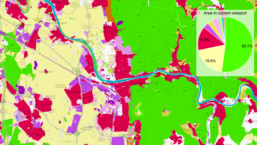
OSMlanduse.org is a WebGIS application to explore OSM data in terms of landuse and landcover information. It was developed by Michael Auer and Janek Voss with support of the GIScience and HeiGIT team.
There exist well known Landcover/Landuse (LULC) data sets generated from remote sensing imagery such as CORINE, Urban Atlas or GlobeLand30. These are available for different areas, time stamps, and offer different LULC classifications. So it is an interesting question if and to what degree OpenStreetMap can complement, add to, or refine these sources. We want to evaluate the overall possibility and suitability of OpenStreetMap (OSM) for these purposes, identify ways for improvement and provide this information globally to the interested communities. As a first step we categorised the OSM data similar to the classification level 2 of the CORINE Landcover classes. The map is still under development, so stay tuned for further updates!