

Tag: SYSSIFOSS
-
New paper on the potential of simulated laser scanning and field data to train forest biomass models
In great collaboration with colleagues from Karlsruhe (DE), Vienna (AT), Brno (CZ), Leipzig (DE), Raszyn (PL), and Berlin (DE), we published a paper investigating approaches to improve LiDAR-based biomass models when only limited sample plots with field data are available. The main work was carried out by PhD student Jannika Schäfer (IFGG, Karlsruhe Institute of…
-
🦇 Halloween release of HELIOS++, v1.3.0
We proudly present our Halloween release of HELIOS++, Version 1.3.0: https://github.com/3dgeo-heidelberg/helios/releases What’s new in this release? HELIOS++ now supports LiDAR simulation of dynamic scenes. We can now simulate laser scanning of scenes that change during the simulation. This is done by introducing rigid motions, which are defined with XML syntax in the scene XML file.…
-
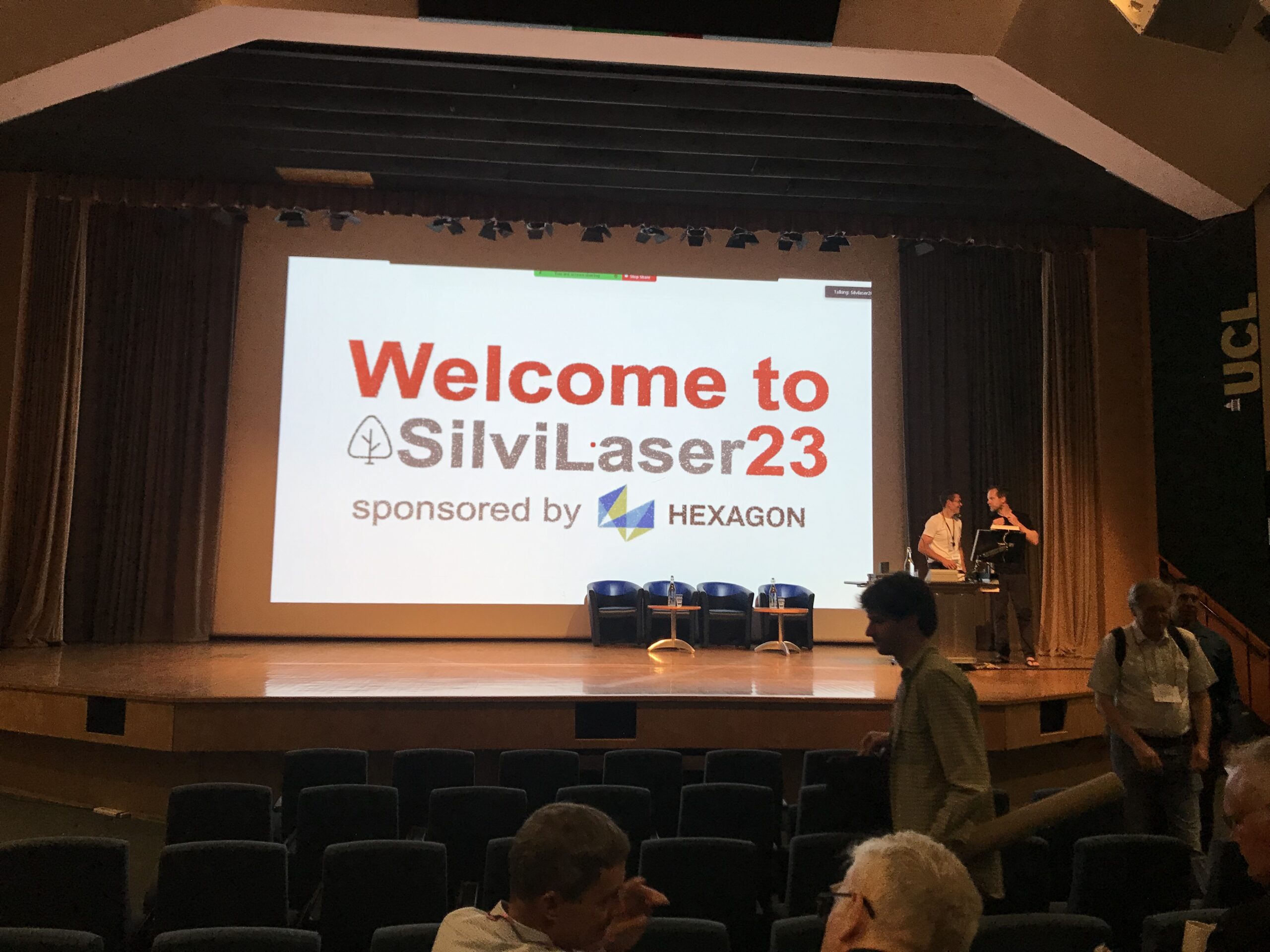
Impressions from Silvilaser 2023
Last week, our PhD student, Hannah Weiser, joined Silvilaser 2023 at University College London (UCL). The conference covers cutting-edge science and technology from the laser scanning and forest communities, which is a perfect match for Hannah’s PhD topic and 3DGeo research in general. The week started off with interesting workshops on Tuesday using some of…
-
Data description paper: Individual tree point clouds and tree measurements from multi-platform laser scanning in German forests
New data description paper on our tree point cloud dataset was just published Today, our data description paper was published in the open access Journal Earth System Science Data: Weiser, H., Schäfer, J., Winiwarter, L., Krašovec, N., Fassnacht, F. E., and Höfle, B. (2022): Individual tree point clouds and tree measurements from multi-platform laser scanning…
-
Preview of 3DGeo @ EGU 2022 – Meet us there
The 3DGeo Research Group will present some of their latest research at EGU General Assembly 2022. We are looking forward to meet you at the following talks: Virtual Laser Scanning using HELIOS++ – Applications in Machine Learning and Forestry: The presentation provides an introduction to VLS, possible use cases, pitfalls and best practices for successful…
-
New paper: Opaque voxel-based tree models for virtual laser scanning in forestry applications
In the SYSSIFOSS project, we are investigating how we can take advantage of virtual laser scanning (VLS), the simulation of laser scanning in a computer environment, in forestry applications. These applications include survey planning and optimization, sensitivity analyses, and algorithm development. For example, VLS may be used to investigate the influence of different sensor and…
-
Open laser scanning data of trees – SYSSIFOSS project
Our forest laser scanning dataset collected in the frame of the SYSSIFOSS project is now openly available through the PANGAEA Data Publisher: Weiser, H., Schäfer, J., Winiwarter, L., et al. (2021): Terrestrial, UAV-borne and airborne laser scanning point clouds of central European forest plots, Germany, with extracted individual trees and manual forest inventory measurements. PANGAEA,…
-
SYSSIFOSS at EGU21 on 26 April
From 19 to 30 April 2021, European researchers from the Earth, planetary and space sciences are gathering in the virtual European Geosciences Union (EGU) assembly. On Monday, 26 April, two SYSSIFOSS presentations will be opening the block “Point clouds for forestry applications” in session BG11 – Remote sensing for forest applications. Dr. Fabian E. Fassnacht…
-
SYSSIFOSS project video on the potential of synthetic LiDAR data in forestry applications
Do you want to find out about the potential of simulating LiDAR data over synthetic forest stands and the steps to get there? Get to know the SYSSIFOSS research project in the video below! Link to video In SYSSIFOSS we are using 3D LiDAR forest data to create a database of diverse model trees (different…
-
Leaf-off UAV-borne laser scanning
Members of the 3DGeo research group were recently taking advantage of the good weather to acquire some more data within the DFG-funded project SYSSIFOSS. We packed the drone and the RIEGL miniVUX-1UAV laser scanner, and drove to the forest near Bretten where 8 of our plots are located. In four days and 16 flights we…
-
Treeathlon – 3D tree mapathon
On Tuesday, 25.02.2020, the 3DGeo group and the SYSSIFOSS project partner from KIT organised a collaborative data processing event. 24 participants spent 6 hours (10:00-16:00) extracting individual trees from airborne LiDAR forest point clouds. In the SYSSIFOSS project, the segmented 3D tree models are required to simulate 3D forest stands when combined with a forest…
-
Impact of aquisition patterns on tree model estimation from UAV LiDAR
In close collaboration with the 3DGeo Research Group, Moritz Bruggisser of the Department of Geodesy and Geoinformation (RG Photogrammetry) presented his current research progress on the impact of acquisition patterns on the robustness and accuracy of tree models derived from UAV LiDAR for forest dynamic studies. His work fits well into the scope of the…