

Author: Elena Gross
-
Join The Team: Studentische Hilfskraft (m/w/d) im HeiGIT Team Support
Liebe Studierende,wir suchen am HeiGIT baldmöglichst eine studentische Hilfskraft (32-40h/Monat) zur Unterstützung in administrativen und organisatorischen Tätigkeiten. Die HeiGIT gGmbH ist ein gemeinnütziges Start-up mit dem Ziel des Technologietransfers und der angewandten Forschung im Bereich der Geoinformatik, insbesondere in Bereichen der humanitären Hilfe oder anderen gemeinnützigen Zwecken zum Wohle der Gesellschaft und der Umwelt. Aufgaben:…
-
‘Waterproofing Data’ Project wins ESRC Celebrating Impact Prize 2023
The “Waterproofing Data” project has won the ESRC Celebrating Impact Prize 2023 in the category “Outstanding Societal Impact” for helping to protect residents of flood-prone areas in Brazil. In 2018, Joao Porto de Albuquerque from the University of Glasgow initiated the project in which HeiGIT is also involved. The main goal of this project is…
-
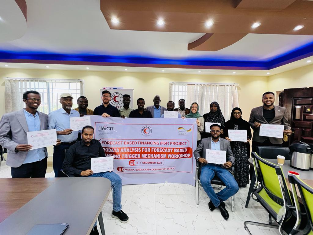
Somaliland GIS Training
Since 2022, HeiGIT is providing technical support to the Somali Red Crescent Society (SRCS) in Somalia. The objective was the development of an Early Action Protocol (EAP) for droughts in Somalia, a plan developed by RCRC National Societies that outlines early actions to be taken when a specific hazard is forecasted to impact communities. In…
-
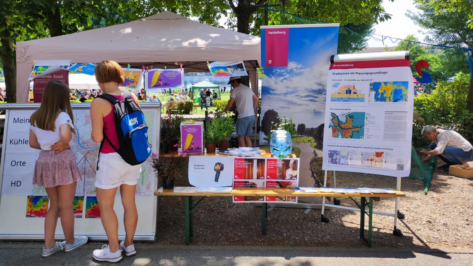
Safely through the heat with HEAL: Transdisciplinary project helps at-risk groups in everyday life
The transdisciplinary project HEAL involves citizens in the research process on heat stress in the city: The aim is to make everyday life easier for at-risk groups during heat waves. The Heidelberg Institute for Geoinformation Technology (HeiGIT), supported by the Klaus Tschira Foundation, the TdLab Geography and the GIScience Research Group of Heidelberg University are…
-
End of Semester Mapathon
At the end of the semester will be another Mapathon! When: Monday, 31.07.2023, at 6 p.m. Where: Mathematikon, INF 205, 5th floor, conference room After a short introduction by Dr. Nil Fulman on “Street view imagery in GIScience: trends and challenges” the street quality of freely available images will be assessed. For this purpose, the…
-
Join The Team: Office Manager for Team Support and Administration (m/f/d), up to 100%
Do you want to be part of a young, motivated team in a non-profit company? You keep an overview in the office and like to be the central contact person for the employees? Then we would like to get to know you! HeiGIT is looking for an Office Manager for Team Support and Administration (m/f/d),…
-
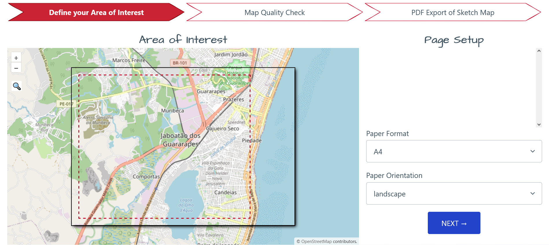
Join The Team: Student Assistant (m/f/d) for QGIS Training Platform for Humanitarian Aid and Disaster Response
Dear Students, we at HeiGIT are currently looking for a student assistant for our QGIS Training Platform for Humanitarian Aid and Disaster Response. Your Tasks will mostly be to create and manage training materials for QGIS Trainings for Red Cross and Red Crescent Societies based on existing materials, video editing of short clips for the…
-
HeiGIT in Berlin with BMBF and AWI on the publication of the Participatory Research Strategy
On 27th June 2023, Oliver Fritz and Sabrina Marx from HeiGIT’s Geoinformation for Humanitarian Aid team joined their colleagues of the Alfred Wegener Institute (AWI) in Potsdam for a workshop with students of the Dathe Gymnasium in Berlin, a partner school participating in the UndercoverEisAgenten project. In a first session, the students learned about Arctic…
-
Join The Team: Senior Spatial Data Scientist for Climate Action
(m/f/d, up to 100%) You are a highly motivated person who loves spatial data science? You want to use your expertise for the benefit of society and the environment – in particular stimulating Climate Action? You want to improve the availability and quality of geographic information for Climate Action and develop geoinformatics methods used for…
-
Join The Team: Community engagement, outreach & partnership manager (for) Climate Action
(m/f/d, up to 100%) You are a highly motivated person who loves spatial data science? You want to use your expertise for the benefit of society and the environment – in particular stimulating Climate Action? You want to improve the availability and quality of geographic information for Climate Action and develop geoinformatics methods used for…
-
Assessing Completeness of OpenStreetMap Building Footprints Using MapSwipe
Natural hazards threaten millions of people all over the world. To address this risk, exposure and vulnerability models with high resolution data are essential. However, in many areas of the world, exposure models are rather coarse and are aggregated over large areas. Although OpenStreetMap (OSM) offers great potential to assess risk at a detailed building-by-building…