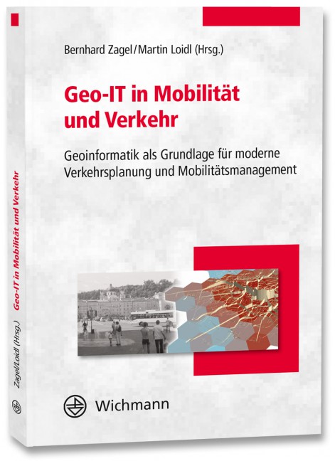
Ein neues Buch gibt in einem Buchkapitel einen Überblick der vielfältigen Aktivitäten von HeiGIT und GIScience im Bereich Routenplanung und Navigation. Neben Grundlagen (wie schnelle Routing-Algorithmen) zur Umsetzung werden vor allem diverse Anwendungsbeispiele für flexible Routing-Dienste in Spezialanwendungen vorgestellt.
Hierzu zählen z.B. zeit-abhängige Routenplanung unter Nutzung relevanter Information aus OpenStreetMap, Routing-Anwendungen im Katastrophenmanagement und humanitären Anwendungen, Erreichbarkeitsanalysen mit Isochronen, Rollstuhl-Routing, gesundes, angenehmes und grünes Routing für Fußgänger und Radfahrer, wie es in diversen Projekten am Beispiel des Open Source OpenRouteService (ORS) umgesetzt wurde und wird.
Ludwig, C., S. Fendrich, T. Novack, S. Marx, A. Oleś, S. Lautenbach, A. Zipf (2020): Optimal ans Ziel: Routing-Dienste auf Basis nutzergenerierter Geodaten – Herausforderungen und Lösungsansätze für globale Datensätze, In: Zagl, Loidl (Hrsg.): Geo-IT in Mobilität und Verkehr, Geoinformatik als Grundlage für moderne Verkehrsplanung und Mobilitätsmanagement. VDE Wichmann Verlag. S. 89-106.
ISBN 978-3-87907-682-6, E-Book: ISBN 978-3-87907-683-3
Testen Sie Openrouteservice (ORS) über den ORS Karten-Client, über die ORS API und den in Entwicklung befindlichen neuen Karten-Client von HeiGIT. Informationen zu Parametern finden Sie in der interaktiven ORS Dokumentation, und Sie können sich im ORS Entwickler-Dashboard für einen kostenlosen API-Key anmelden.
Openrouteservice dient der OSM-Community und der Allgemeinheit bereits seit 2008.
https://openrouteservice.org/
http://heigit.org
https://github.com/GIScience
- Novack, T.; Wang, Z.; Zipf, A. (2018): A System for Generating Customized Pleasant Pedestrian Routes Based on OpenStreetMap Data. Sensors 2018, 18, 3794.
- Neis, P. & Zipf, A (2008): OpenRouteService.org is three times “Open”: Combining OpenSource, OpenLS and OpenStreetMap. GIS Research UK (GISRUK 08). Manchester.
- Schmitz, S., Neis, P. & Zipf, A. (2008): New Applications based on Collaborative Geodata – the Case of Routing. XXVIII INCA International Congress on Collaborative Mapping and SpaceTechnology, Gandhinagar, Gujarat, India.
- Rousell A. and Zipf A. (2017): Towards a landmark based pedestrian navigation service using OSM data. International Journal of Geo-Information, ISPRS IJGI, 6(3): 64.
- Neis, P., Singler, P. & Zipf, A. (2010): Collaborative mapping and Emergency Routing for Disaster Logistics – Case studies from the Haiti earthquake and the UN portal for Afrika. In: Car, A., Griesebner, G. & Strobl, J. (Eds.): Geospatial Crossroads @ GI_Forum ‘10. Proceedings of the Geoinformatics Forum Salzburg.
- Zipf, A., Mobasheri, A., Rousell, A. ,Hahmann, S. (2016): Crowdsourcing for individual needs – the case of routing and navigation for mobility-impaired persons . In: Capineri, C, Haklay, M, Huang, H, Antoniou, V, Kettunen, J, Ostermann, F and Purves, R. (eds.) European Handbook of Crowdsourced Geographic Information, p. 325–337. London: Ubiquity Press. DOI: dx.doi.org/10.5334/bax.x
- Miksch, J., Hahmann, S., Resch, B., Lauer, J., Zipf, A. (2017): Routing Through Open Spaces – A Performance Comparison Of Algorithms. Geo-Spatial information Science, 2017. Taylor & Francis. Geo-Spatial information Science, 2017. Taylor & Francis. https://doi.org/10.1080/10095020.2017.1399675
- Wang, Z., T. Novack, Y. Yan and A. Zipf, “Quiet Route Planning for Pedestrians in Traffic Noise Polluted Environments,” in IEEE Transactions on Intelligent Transportation Systems, doi: 10.1109/TITS.2020.3004660.
- Goetz, M. & Zipf, A. (2011): Formal Definition of an User-adaptive and Length-optimal Routing Graph for Complex Indoor Environments. Geo-spatial Information Science (GSIS). Vol.14(2). Springer.
- Weiser, A., Neis, P & Zipf, A. (2006): Orchestrierung von OGC Web Diensten im Katastrophenmanagement – am Beispiel eines Emergency Route Service auf Basis der OpenLS Spezifikation. In: GIS – Zeitschrift für Geoinformatik. Vol.9, pp. 35-41.
- Zipf, A & Jöst, M. (2005): Implementing Adaptive Mobile GI Services based on Ontologies – Examples for pedestrian navigation support. CEUS – Computers, Environment and Urban Systems – An International Journal. Special Issue on LBS and UbiGIS. Pegamon Press, Elsevier.
- Zipf, A. & Häußler, J. (2004): Supporting Multi-Modal Interfaces for Adaptive Tour Planning – A Comparsion to OpenLS Specifications. Geographic Information Sciences. Special Issue on LBS and UbiGIS. CPGIS. Berkeley. California. Vol.10(2), pp. 117-127.
- Müller, A., Neis, P. & Zipf, A. (2010): Ein Routenplaner für Rollstuhlfahrer auf der Basis von OpenStreetMap-Daten. Konzeption, Realisierung und Perspektiven. AGIT 2010. Symposium für Angewandte Geoinformatik. Salzburg. Austria.
- Neis, P., Schilling, A. & Zipf, A. (2007): 3D Emergency Route Service (3D-ERS) based on OpenLS Specifications. GI4DM 2007. 3rd International Symposium on Geoinformation for Disaster Management. Toronto, Canada.


