
Last week, GIScience Heidelberg successfully held two collaborative workshops about OpenStreetMap (OSM) at the Department of Earth Observation in Jena. Dr. Chistian Thiel and his team from the University of Jena kindly organized the event. Three members of the GIScience Research Group and the Heidelberg Institute for Geoinformation Technology (HeiGIT), Dr. Michael Schultz, Benjamin Herfort and Janek Voß, took the opportunity to present our work.
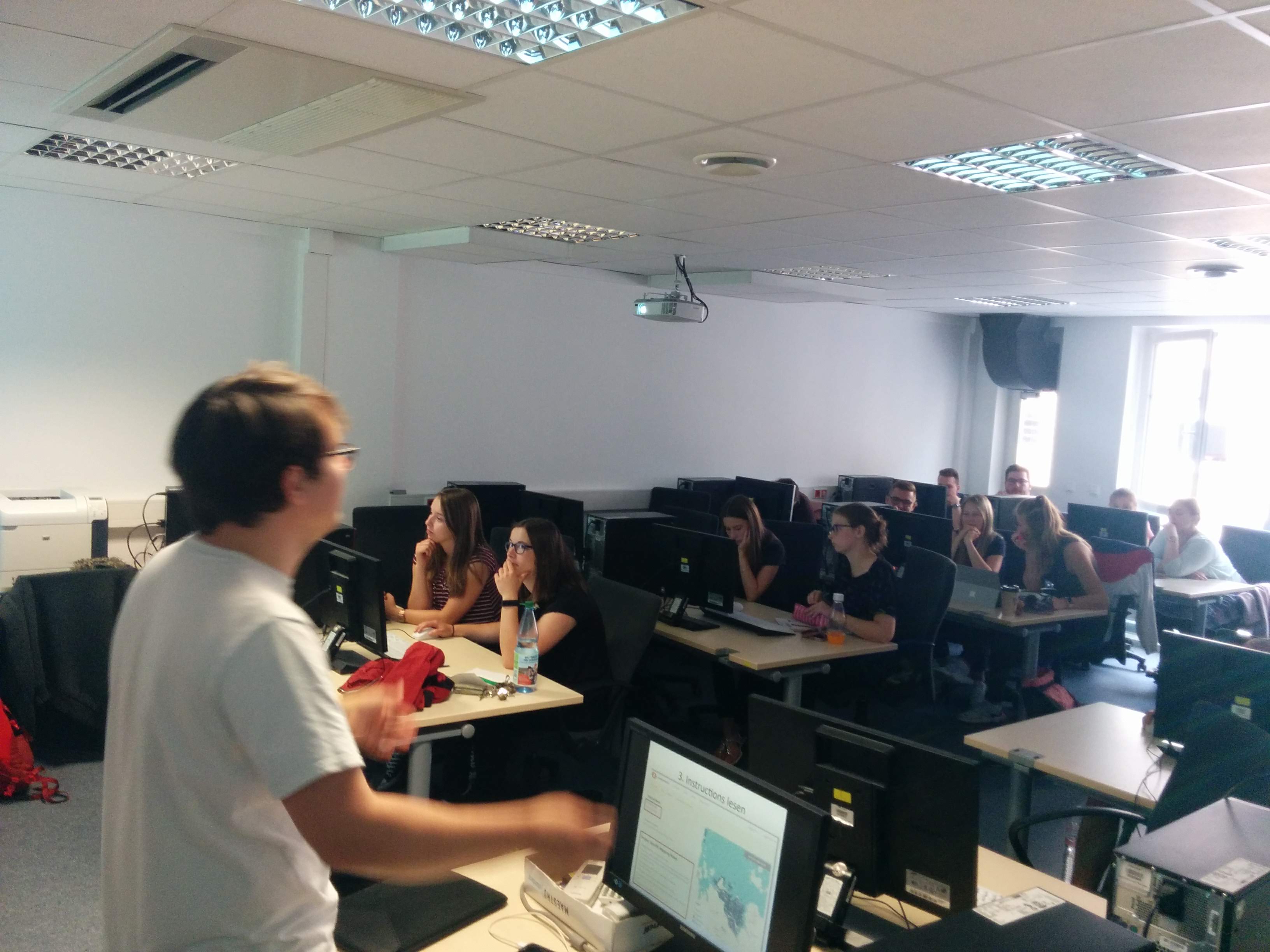
In the context of building and maintaining an active network among academic institutions, we were able to introduce our research, share ideas, initiate future cooperation, impart knowledge and gather important data together. Both workshops were realized with the help of around 60 participants, who are future geography teachers from the University of Jena. We announced and outlined the event beforehand, via a 30 min Skype Video Conference. Last week, our primary objective was to empower the participants to work with OpenStreetMap (OSM) data at school in the future.
During the first workshop, held by Dr. Schulz and Janek Voß, students learned to combine theoretical knowledge about OSM with hands-on exercises, recognizing both potential and challenges of this datasource, as well as being able to obtain and use it. Also, data collected by participants will be used to validate our product osmlanduse.org in the future. The second workshop highlighted the potential of OpenStreetMap for disaster management and humanitarian aid. Together we mapped buildings and roads in Tanzania to support the work of the local communities there to fight FGM (Female Genital Mutilation).

We would like to thank participants and our colleagues in Jena for making this event a successful one and we are hoping to continue our collaboration in the near future.