
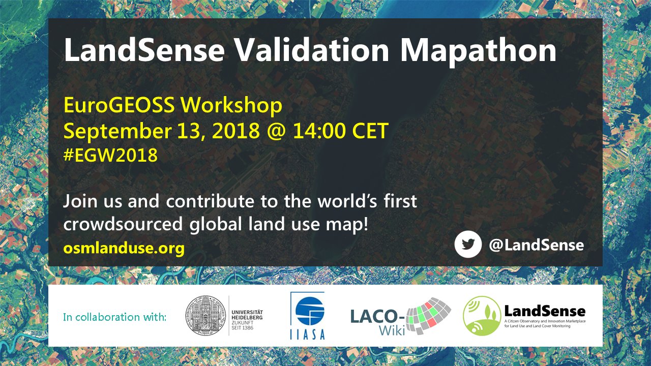
Join us on Thursday 13th September 2018 at the EuroGEOSS Workshop in Geneva for the validation mapathon of OSMlanduse.org Sentinel-2 landuse fusion map. Have an exclusive first peek at the EU wide OSMlanduse Sentinel-2 landuse fusion map, a result of millions of OSM contributions and the Sentinel-2 archive remote sensing data.
The event is a prequel to our upcoming release of a conterminous/gap-free Sentinel-2 and OSM based land use map for all EU member states, as announced recently. The map was processed using ESA’s Research and User Support and is a result of H2020 LandSense.eu.
The final map will be featured on osmlanduse.org, stay tuned as we are very exited for the upcoming map release.
Related earlier work:
Schultz, M., Voss, J., Auer, M., Carter, S., and Zipf, A. (2017): Open land cover from OpenStreetMap and remote sensing. International Journal of Applied Earth Observation and Geoinformation, 63, pp. 206-213. DOI: 10.1016/j.jag.2017.07.014
etc.