

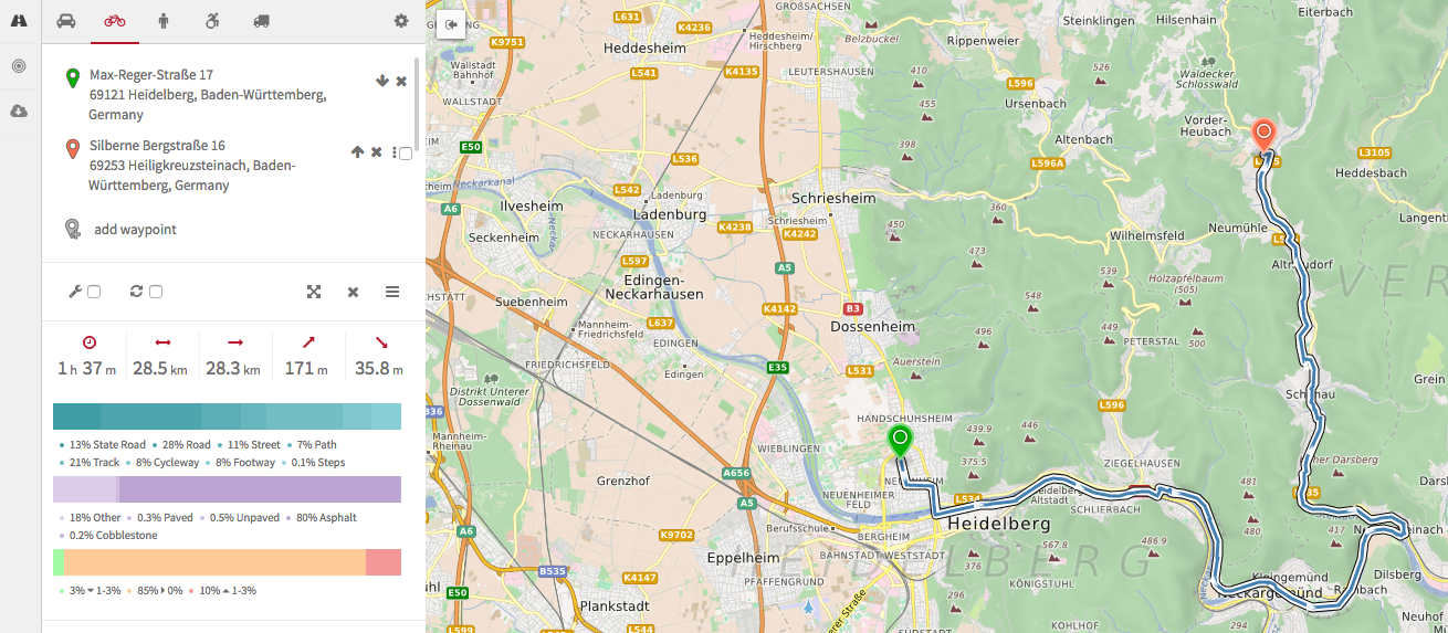
We have been busy working on some new features within the OpenRouteService which are especially suited for bicyclists. For starters we introduced an electronic bicycle profile which especially comes in handy for accessibility analyses considering elevation information.
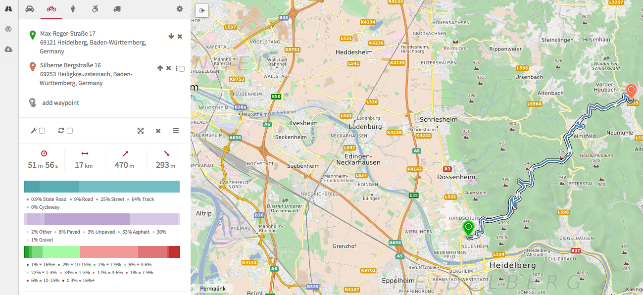
To this end you will notice that inclines will not have such a large impact on the reachability compared to the other traditional bicycle profiles. In this context we finally integrated a much longed for feature, namely fitness categories. By combining OpenStreetMap data with elevation information you may now plan your routes according to your level of fitness (Novice, moderate, amateur or pro). Please note and be aware that this is currently in a beta phase and we appreciate your feedback at openrouteservice@geog.uni-heidelberg.de in case you experience some abnormal routing results. As an alternative you may also entirely avoid hills or even set the maximum steepness you are willing to ride on in percent (0-15%).
OpenRouteService was the first Online Routing Service based on OpenStreetMap data (online since 2008), that offered specific Routing-Options for pedestrians, several bicycle types, heavy vehicles, wheelchairs and now E-Bikes internationally.
We do thank the Klaus Tschira Stiftung Heidelberg for their support to establish the “Heidelberg Institute for Geoinformation Technology” (HeiGIT), which provides further resources for extending OpenRouteService in a more sustainable way.