

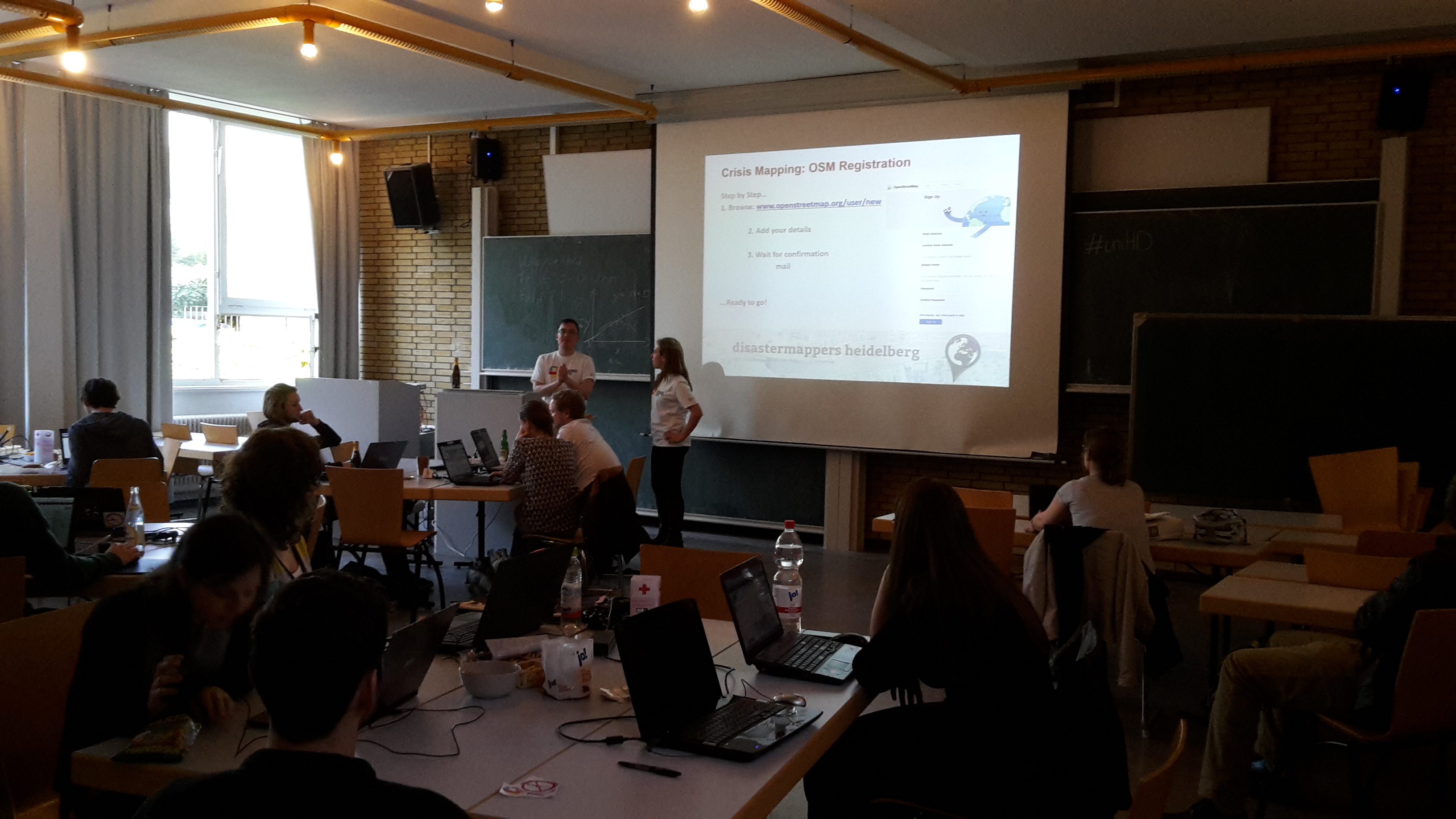
Last Thursday students and researchers of the GIScience group and the Geographical Institute, members of the OSM community and Open Data supporters gathered to support the Ecuador activation of the Humanitarian OpenStreetMap Team (HOT).
In response to the severe earthquake last Saturday, the HOT team had launched several mapping projects to enable the creation of a base map of the affected regions. These projects have then been complemented through post-disaster tasks in which the level of destruction is assessed to help to coordinate the relief efforts. We wanted to support these efforts in a mapping event at our institute.
The event started with a short introduction in which the disastermappers provided background information about the activation and mapping itself. Then the 30 participants started to become active themselves in the mapping projects.
A group of experienced mappers gathered information about damaged roads and bridges using post-event imagery. This data is needed to enable emergency routing e.g. via the direct use within the OpenRouteService Ecuador.
The other participants gathered information about the road network, building structures and residential areas in the affected area to provide information about possibly affected settlements and access routes.
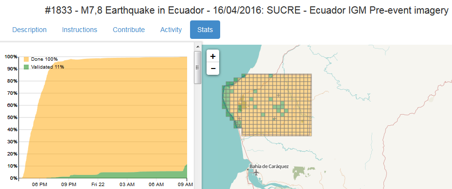
In only 3 hours a whole task was finalized covering one of the most affected regions. The detailed map material can be directly utilized now for relief operations on the ground.
A big thank you to all participants of our Ecuador mapping event by your disastermappers and the HOT Ecuador team!