Tag: LULC
-

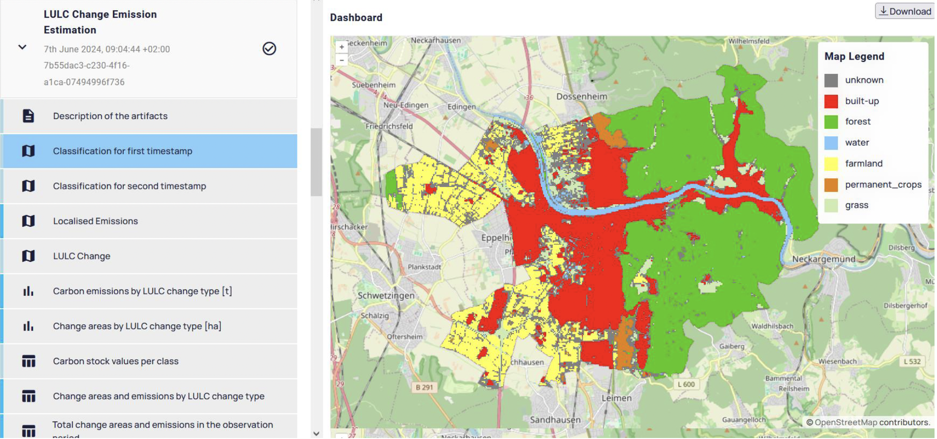
Quantifying CO2 Emissions from Land Use Changes
The role of land use changes in generating CO2 emissions is a crucial aspect in the fight against climate change. These emissions are the second-largest source of anthropogenic greenhouse gases, following energy production and usage. Given the urgent need to meet climate targets, especially the goal of achieving climate neutrality by 2040, detailed quantification of…
-
Leveraging OpenStreetMap and Multimodal Remote Sensing Data with Joint Deep Learning for Wastewater Treatment Plants Detection
Humans rely on clean water for their health, well-being, and various socio-economic activities. During the past few years, the COVID-19 pandemic has been a constant reminder of about the importance of hygiene and sanitation for public health. The most common approach to securing clean water supplies for this purpose is via wastewater treatment. To date,…
-
A Multi-Sensor Fusion Framework Based on Coupled Residual Convolutional Neural Networks
Multi-sensor remote sensing image classification has been considerably improved by deep learning feature extraction and classification networks. In this recent paper, we propose a novel multi-sensor fusion framework (CResNet-AUX) for the fusion of diverse remote sensing data sources. The novelty of this paper is grounded in three important design innovations: A unique adaptation of the…
-
Constraints in multi-objective optimization of land use allocation – Repair or penalize?
Land is a spare resource so it makes sense to think about how to use it most efficiently. This leads to the problem of land use allocation under consideration of trade-offs. Multi-objective optimization algorithms are a tool quantify the trade-offs by estimating the Pareto-optimal land use allocations. Often, constraints in the solution space have to…
-
Successfull PhD Defence of Michael Schultz about tropical deforestation monitoring using Landsat time series and breakpoint detection
Last week our team member Dr. Michael Schultz successfully defended his PhD Defence about Tropical deforestation monitoring using Landsat time series and breakpoint detection at Wageningen University and Research (WUR). It was supervised by Prof. Dr M. Herold (Professor of Geo-information Science and Remote Sensing at Wageningen University & Research). We congratulate cordially! Keep up…
-
A discussion of crowdsourced geographic information initiatives and big Earth observation data architectures for land-use and land-cover monitoring
The effective monitoring of land-use and land-cover changes (LULCC) is a basic requirement for understanding socio-enviromental processes of local to global scales. Remote sensing data and methods have long been established as the most effective approach for monitoring LULCC. The potential for further increasing the effectiveness of this approach is proportional to the astonishingly large…
-
This Monday HCE Talk on: Ökologische Dienstleistungen und Zielkonflikte von Landnutzungsentscheidungen (Dr. Lautenbach)
As a founding member of Heidelberg Center for the Environment (HCE) we want to share this important date of the HCE’s “Heidelberg Bridge” Colloquium series. This semester the Institute of Geography is involved with two presentations and one of these is from the GIScience group with Dr. Sven Lautenbach talking about his work on ecosystem…
-
Associating OpenStreetMap tags to CORINE land-cover classes using text and semantic similarity measures
With the aim of rapidly estimating the updated state of the CORINE land-cover map at the frequency with which the OpenStreetMap (OSM) dataset is edited and extended, we propose an approach for automatically associating widely used OSM tags to Level 1 and Level 2 CORINE land-cover classes. This association is probabilistic and is undertaken based…
-
LandSense is Project of the Week @ “Doing It Together Science”.
The EU H2020 project LandSense (A Citizen Observatory and Innovation Marketplace for Land Use and Land Cover Monitoring) has been featured as project of the week by “Doing It Together Science“. http://togetherscience.eu/blog/project-of-the-week-10-landsense. Thanks to our partners at IASA etc. for this! In addition to organizing mapathons and related research research activities, in the context of…
-
Open land cover from OpenStreetMap and remote sensing
In a recently published study (1), we produced a web based land use land cover (LULC) product based on OSM tags which are constantly updated by contributors/volunteers, and present a Remote Sensing based solution when tags were absent for a test site. We harness the combined benefit of an open source and ever-growing machine generated…
-
Paper on OSMlanduse.org at AGIT
The programme of the AGIT Symposium 2017 in Salzburg is online now and it includes a first paper about the work at GIScience Heidelberg on OSMlanduse.org. It will be presented 6 July in the afternoon at AGIT Salzburg. The talk is entitled “OSMLanduse Version 1” while the full titel of the paper is: Voß, J.,…
-
OSMlanduse.org is featured image of the week in this weeks OSM Wiki
Recently we introduced the website OSMlanduse.org . This week it is featured as “Image of the Week” in the OSM Wiki. Thanks a lot for the recognition! It is already the second OSM Wiki image of the week from GIScience Heidelberg in this short year,as in week 4 OSMvis from our group member Franz-Benjamin was…


