

Recently we introduced the website OSMlanduse.org . This week it is featured as “Image of the Week” in the OSM Wiki. Thanks a lot for the recognition! It is already the second OSM Wiki image of the week from GIScience Heidelberg in this short year,as in week 4 OSMvis from our group member Franz-Benjamin was featured.
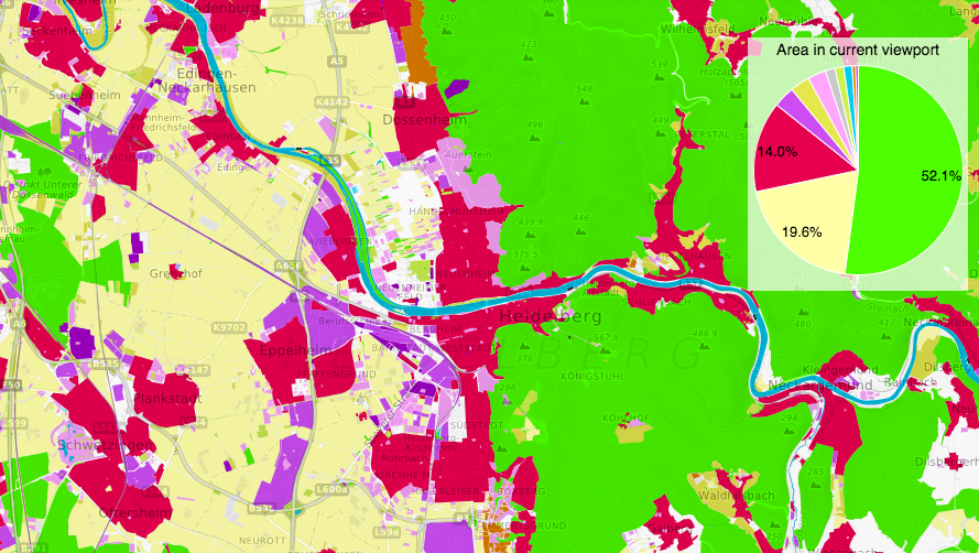
OSM Landuse/Landcover is a WebGIS application to explore the OpenStreetMap database specifically in terms of landuse and landcover information. It was developed by Michael Auer and Janek Voss with support of the GIScience and HeiGIT team.
There exist well known Landcover/Landuse (LULC) data sets generated from remote sensing imagery such as CORINE, Urban Atlas or GlobeLand30. These are available for different areas, time stamps, and offer different LULC classifications. So it is an interesting question if and to what degree OpenStreetMap can complement, add to, or refine these sources. We want to evaluate the overall possibility and suitability of OpenStreetMap (OSM) for these purposes, identify ways for improvement and provide this information globally to the interested communities. As a first step we categorized the OSM data similar to the classification level 2 of the CORINE Landcover classes. The map is still under development, so stay tuned for further updates!