

Search results for: “humanitarian”
-
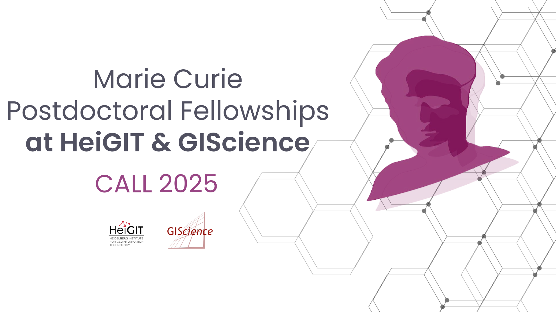
Marie Curie Postdoctoral Fellowships at HeiGIT & GIScience related to Climate Action and Humanitarian Aid
We are pleased to announce that HeiGIT and GIScience research Group at Heidelberg University are open to hosting postdoctoral researchers through the Marie Skłodowska-Curie Postdoctoral Fellowships (MSCA-PF) 2025. MSCA Fellowships offer a unique chance to pursue an independent research project in an international setting while benefiting from advanced training and interdisciplinary exchange. We invite researchers…
-
Strengthening humanitarian efforts with the German Red Cross
A few days ago, we had the pleasure of welcoming our longtime partners from the German Red Cross (GRC) to HeiGIT. Together, we not only mapped out our future priorities but also took a moment to look back on the journey we’ve shared since our partnership began in 2017. The strategic partnership was established to develop GIS…
-
World Humanitarian Day – How Maps can Help Aid Workers
August 19th marks World Humanitarian Day (WHD) to recognize the efforts of humanitarian workers and to advocate for the survival, well-being and dignity of people affected by crises, and for the safety and security of aid workers. One of many factors that are essential for effective humanitarian response and the security of people on site…
-
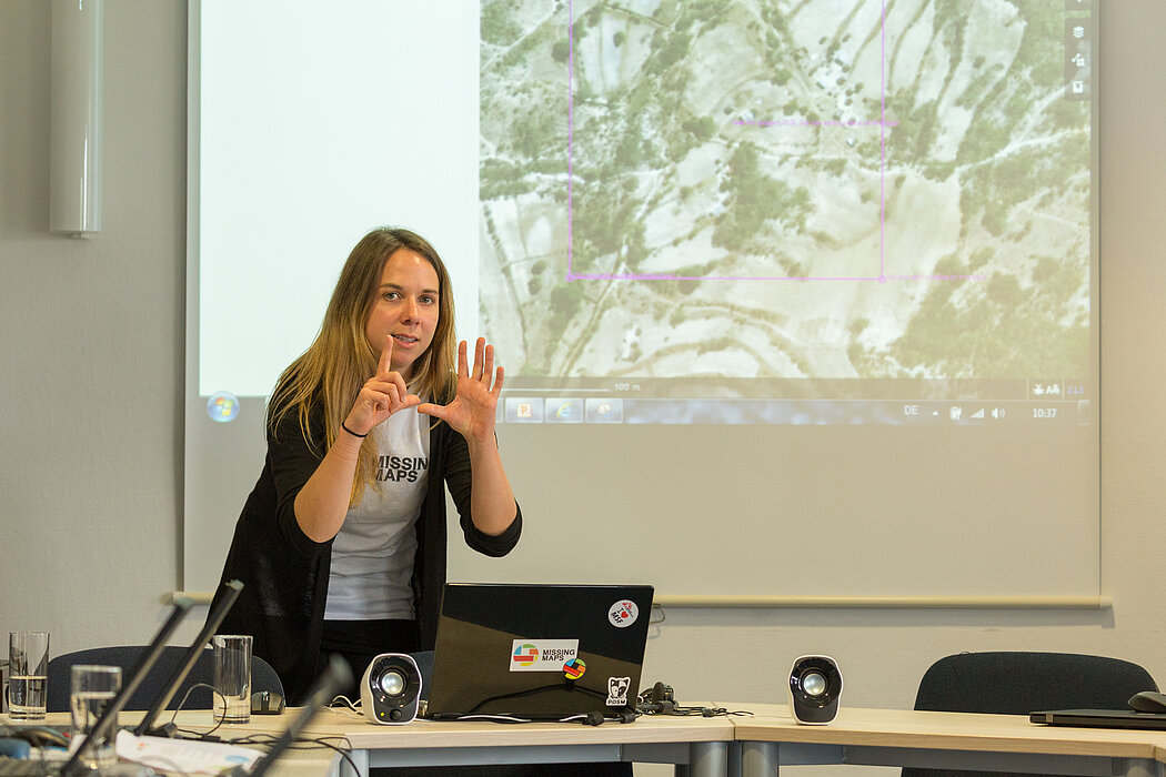
Analysis of Humanitarian OSM Stats: User activity through HOT-TM and contributing organizations
Introduction In this blogpost we are taking a look at humanitarian mapping through the Tasking Manager (HOT-TM) that is operated by the Humanitarian OpenStreetMap Team (HOT). At HeiGIT we work together with HOT to provide analyses and statistics to further understand mapping activity. Explore the user and mapping stats of all Tasking Manager activites here. Check our blog posts about topics…
-
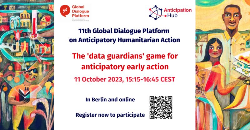
HeiGIT at the 11th Global Dialogue Platform on Anticipatory Humanitarian Action
In October 2023, the 11th Global Dialogue Platform on Anticipatory Humanitarian Action will take place as a hybrid event in Berlin, allowing for people to attend either in person or online (register here). Under this year’s main theme “People at the centre: scaling up anticipatory action”, the platform offers a plethora of workshops and discussion…
-
Join The Team: Student Assistant (m/f/d) for QGIS Training Platform for Humanitarian Aid and Disaster Response
Dear Students, we at HeiGIT are currently looking for a student assistant for our QGIS Training Platform for Humanitarian Aid and Disaster Response. Your Tasks will mostly be to create and manage training materials for QGIS Trainings for Red Cross and Red Crescent Societies based on existing materials, video editing of short clips for the…
-
Online seminar ‘Deep learning from Volunteered Geographical Information: a case study of humanitarian mapping with OpenStreetMap’
We invite to the upcoming online seminar at the Urban Analytics Lab seminar series at the National University of Singapore (NUS): ‘Deep learning from Volunteered Geographical Information: a case study of humanitarian mapping with OpenStreetMap’ on 29 April (9am German time, 3pm Singapore time) By Hao Li, GIScience Research Group, Heidelberg University @GIScienceHD As an emerging topic,…
-
HeiGIT and MapAction at FOSS4G 2021: Using the ohsome quality analyst to support humanitarian mapping
Last week, the annual conference FOSS4G (Free and Open Source Software for Geospatial) has been taken place online. The conference is organized by The Open Source Geospatial Foundation (OSGeo) and attracts over 1000 developers, users, decision-makers and observers from a broad spectrum of organizations and fields of operation each year. HeiGIT and MapAction contributed a…
-
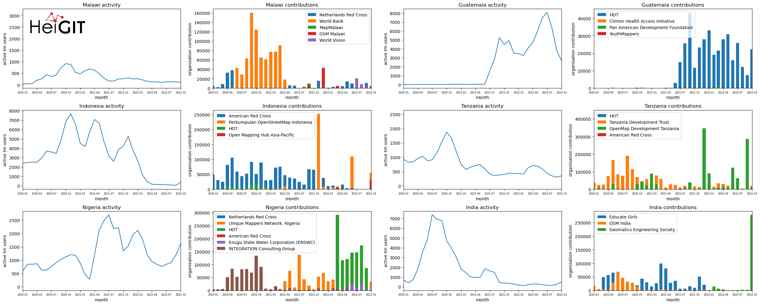
Humanitarian OSM Stats: How to monitor humanitarian mapping in the HOT Tasking Manager? – Part 5: the American Red Cross
Since 2010 organized humanitarian mapping has evolved as a constant and growing element of the global OpenStreetMap (OSM) community. With more than 8,000 projects in 150 countries humanitarian mapping has become a global community effort. Due to this large amount of projects, it can be difficult to get an overview on mapping activity. This is…
-
Humanitarian OSM Stats: How to monitor humanitarian mapping in the HOT Tasking Manager? – Part 4
Since 2010, organized humanitarian mapping has evolved as a constant and growing element of the global OpenStreetMap (OSM) community. With more than 7,000 projects in 150 countries, humanitarian mapping has become a global community effort. Due to this large amount of projects, it can be difficult to get an overview on mapping activity. This is…
-
Humanitarian OSM Stats: How to monitor humanitarian mapping in the HOT Tasking Manager? – Part 3
Since 2010 organized humanitarian mapping has evolved as a constant and growing element of the global OpenStreetMap (OSM) community. With more than 7,000 projects in 150 countries humanitarian mapping has become a global community effort. Due to this large amount of projects, it can be difficult to get an overview on mapping activity. This is…