The Global Healthsites Mapping Project (Healthsites) and the Heidelberg Institute for Geoinformation Technology/ GIScience Research Group are happy to announce the now also formal cooperation. Last week, HeiGIT/ GISciences signed the Healthsites Memorandum of Understanding (MoU) to strengthen their strategic partnership with the main aim to support the analyses, sharing and use of baseline OpenStreetMap health facility data.
Already since 2015, Healthsites and GIScience/ disastermappers work together in scope of the Missing Maps project. Their joint membership has already lead to a couple of research ideas and exchanges all around the support of health data access and use. The MoU will allow to follow-up on previous and to develop new joint ideas and to conduct joint activities related to research as well as development of GIS technologies, skills, workflows and communities. First projects that are already in progress, are a specific health layer extension in the current ohsome History Explorer of the HeiGIT team. This will allow easy visualization and analyses of the health related information in the OSM database.Further ideas include analysis on the distribution of data fitness for different use cases in Emergency health care (e.g. maternal health, accidents). This in turn will support the data development in terms of completeness and quality. Secondary analyses like modelling catchment areas of health facilities to reveal service gaps and support decision making on SDG 3: Ensure healthy lives and promote wellbeing for all at all ages. Automatized generation of COD(Common Operational Datasets) on health data per country, ready to use by humanitarians.
These are only the first ideas, and we are very much looking forward to seeing what we can collaboratively achieve. Get in contact if you are interested in participating or finding out more (healthsites; HeiGIT).
Previous related work HeiGIT / GIScience
- Analysis of access to healthcare in Madagascar using ORS isochrone api
- Dashboard prototype on healthcare access in DRC using ORS isochrones by CartONG
- Exploring the history of OSM: The example of health related amenities
- Impact of built environments on human mental health – a review of methods published
Analysis of data collected during the Healthsites pilot in Senegal in July 2019
In 2019, Healthsites together with OSM Senegal, Digital Square, CartONG and Geomatica started a open data partnership – a semi-formal network to identify use cases and drive the development of OpenStreetmap baseline health facility data..
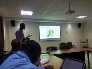
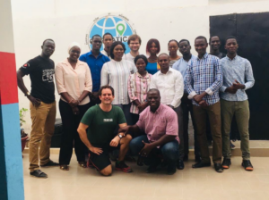
First step of the project was a meeting with the District Ministry of Health and introduction to the Healthsites/OpenStreetMap method. This was followed by a field data collection mission for the department of Saint-Louis in mid July. Ten volunteers from the OpenStreetMap Senegal community together with Geomatica and CartONG, identified 104 health facilities during the course of a week. The data was saved to OpenStreetmap and shared with the Ministry of Health. The ODK mobile data collection form uses the newly established OpenStreetMap Healthsites schema and saves directly to OpenStreetMap.
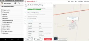
It was also an opportunity to refine the form and methodology. With the help of ohsome dashboard we visualized these efforts as the amount of healthcare facility objects in OSM for Saint-Louis over time.
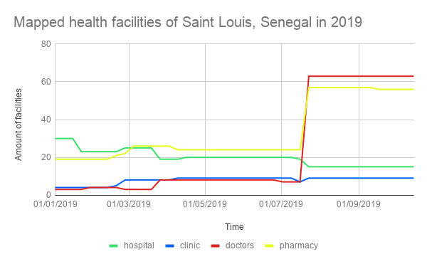
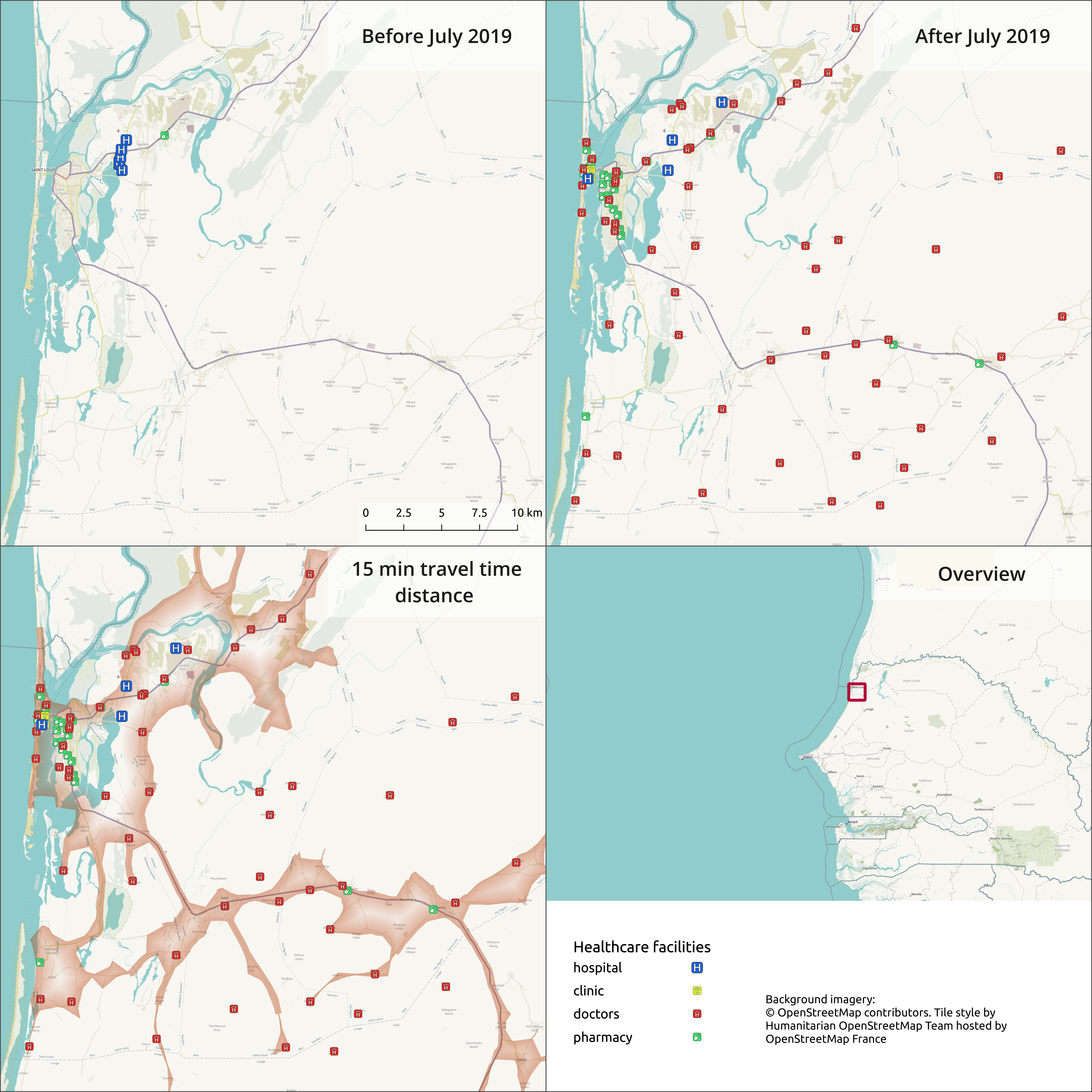
The map below shows the state of health facility data in Saint-Louis before and after the pilot using the ohsome api. We used the data for a travel time distance analysis to get 15 min catchment areas of facilities with the tag amenity=doctors with the ORS isochrone service. This analysis is just a simple example how the data can be used to get more insights on the physical distribution and therefore the structure of a healthcare system. Further such analysis can support decision makers to take informed action.
