

With the publication of the final report, the PermaSAR project is concluded. In the blink of an eye regarding timescales of permafrost monitoring, research within the project period covered diverse methods and analyses around the topic of permafrost and related thaw subsidence in Arctic tundra landscapes.
The report (in German) provides all details on the work within the project:
Antonova, S., Beck, I., Marx, S., Anders, K., Boike, J., Höfle, B. (2019): Vorhabensbezeichnung: PermaSAR: Entwicklung einer Methode zur Detektion von Subsidenz in Permafrostgebieten mit D-InSAR: Schlussbericht: Laufzeit des Vorhabens: 01.04.2015-31.03.2019. Report No. 50EE1418, DOI: 10.2314/KXP:167848864X.
Parts of the research are published in these articles:
Antonova, S., Thiel, C., Höfle, B., Anders, K., Helm, V., Zwieback, S., Marx, S., Boike, J. (2019). Estimating tree height from TanDEM-X data at the northwestern Canadian treeline. Remote Sensing of Environment, 231. DOI: 10.1016/j.rse.2019.111251.
Marx, S., Anders, K., Antonova, S., Beck, I., Boike, J., Marsh, P., Langer, M., & Höfle, B. (2017): Terrestrial laser scanning for quantifying small-scale vertical movements of the ground surface in Arctic permafrost regions. Earth Surface Dynamics Discussions, 2017, pp. 1-31. DOI: 10.5194/esurf-2017-49.
All data from the PermaSAR project is openly available:
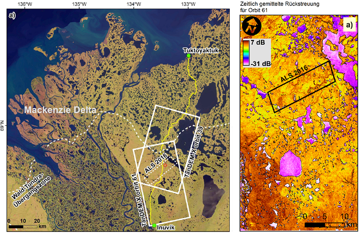
Antonova, S., Anders, K., Beck, I., Boike, J., Höfle, B., Marx, S. (2019): Digital Elevation Model from raw CoSSC TanDEM-X data (2015) in the area of Trail Valley Creek, Northwest Territories, Canada. PANGAEA, DOI: 10.1594/PANGAEA.902503.
Anders, K., Antonova, S., Beck, I., Boike, J., Höfle, B., Langer, M., Marsh, P., Marx, S., (2018): Multisensor ground-based measurements of the permafrost thaw subsidence in the Trail Valley Creek, NWT, Canada, 2015-2016. Alfred Wegener Institute, Helmholtz Center for Polar and Marine Research, Bremerhaven, PANGAEA, DOI: 10.1594/PANGAEA.888566.
Anders, Katharina; Antonova, Sofia; Boike, Julia; Gehrmann, Martin; Hartmann, Jörg; Helm, Veit; Höfle, Bernhard; Marsh, Philip; Marx, Sabrina; Sachs, Torsten (2018): Airborne Laser Scanning (ALS) Point Clouds of Trail Valley Creek, NWT, Canada (2016). PANGAEA, DOI: 10.1594/PANGAEA.894884.
The PermaSAR project was a cooperation of the Permafrost Research Unit (Alfred Wegener Institute) and the 3DGeo Research Group (Heidelberg University) and funded by the BMWi/DLR in the framework “Entwicklung von innovativen wissenschaftlichen Methoden und Produkten im Rahmen der TanDEM-X Science Phase”.