In our latest release we have primarily focused on optimising and stabilising the backend and on adding new elements to provide an improved user experience throughout the OpenRouteService 3.1.
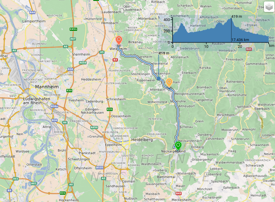
We improved the visualisation of real-time traffic information for the route instructions as they now appear as number of warnings within the route summary (currently for Germany only). To support your route planning, we added a more sophisticated algorithm for adding stopovers – this way not every waypoint is automatically added to the end of the list but inserted at the geographically most suitable position. Upon request of the community we also implemented the option of printable route instructions. Available for all of our Bicycle and Pedestrian profiles and especially for our outdoor fans we made use of the comprehensive OpenStreetMap data and visualised surface and way types for the specific segments of the route (see screenshot below). Feel free to check out all of these features in action here.
The 3.1 release furthermore includes a range of minor enhancements and bug fixes (see full list here). Please note that the ORS client is only tested on Firefox, Chrome and Safari.


