

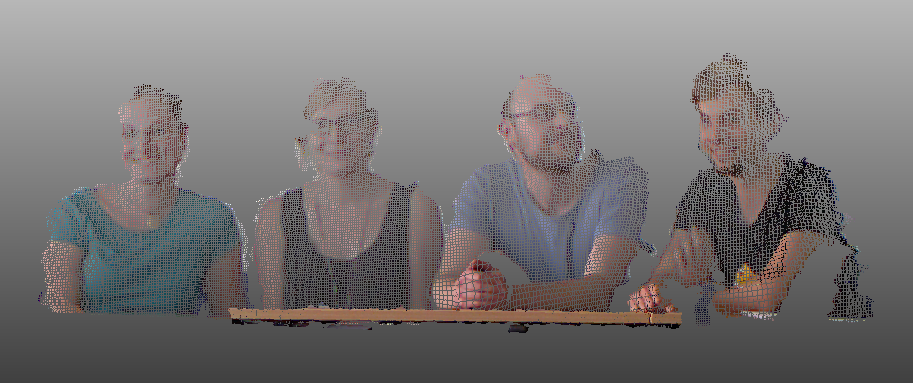
At Thursday, 2nd of July, Martin Hämmerle from the GIScience LiDAR Research Group gave a talk at the Geography colloquium series of the Heidelberg University of Education. Entitled ‘3D Geodata – Background and Application’, the talk introduced basics about 3D geodata and gave a broad overview to research projects of the chair of GIScience. The examples comprised projects in speleology, renewable energy, precision agriculture, geoarchaeology, 3D city modelling, and more. A small hands-on exercise for capturing own datasets was also part of the presentation.
The audience hopefully got ‘hooked’ on 3D geodata and will communicate the fascinating possibilities of this research field in the seminar- and classrooms!