

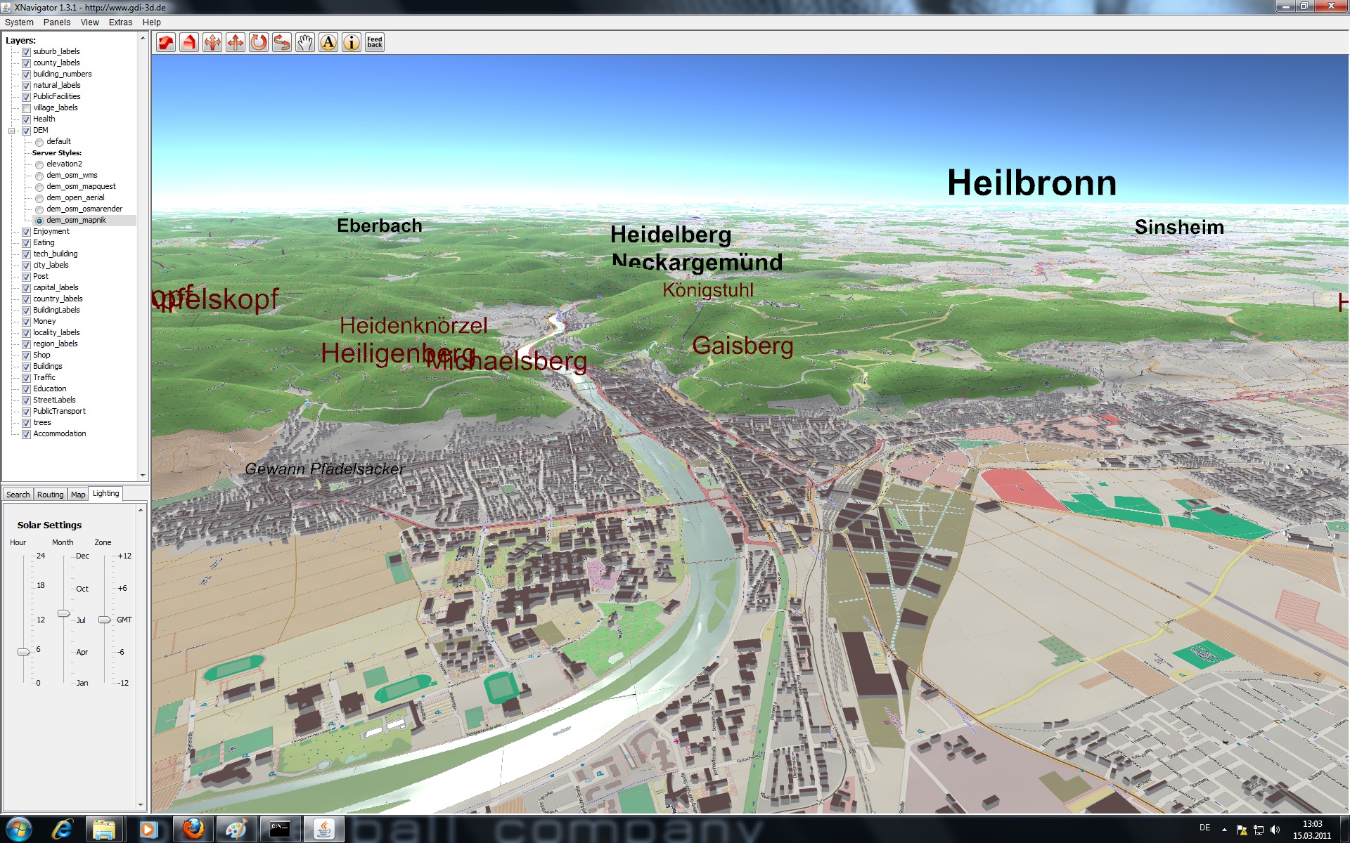
and therefore also in OSM-3D.org. Just before Christmas the number of building footprints hit the magical number of 100.000.000. “Building” has been for some time now the most frequently used tag defining a map feature in OpenStreetMap. We use the building footprints from OSM to generate an automatically updated special database of 3D buildings displayed on a virtual globe in OSM-3D.org, being the first web service that is offering a global 3D representation of OSM for several years now.
Here you find some (older) videos.

(cmp: Over, M., Schilling, A., Neubauer, S., Zipf, A. (2010): Generating web-based 3D City Models from OpenStreetMap: The current situation in Germany. In: CEUS. Computers, Environment and Urban Systems. Vol. 34, Issue 6, Pages 496–507)
more info: http://wiki.openstreetmap.org/wiki/OSM-3D
further work:
Fan H., Zipf A., Fu Q. and Neis P. (2013): Quality assessment for building footprints data on OpenStreetMap. International Journal of Geographical Information Science. DOI: 10.1080/13658816.2013.867495
Let’s see until when OpenBuildingModels becomes that big 😉
(cmp: Uden, M. and Zipf, A. (2012): OpenBuildingModels - Towards a platform for crowdsourcing virtual 3D cities. 7th 3D GeoInfo Conference. Quebec City, QC, Canada.)