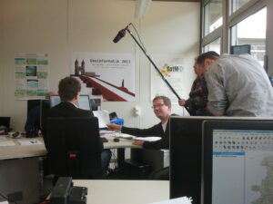
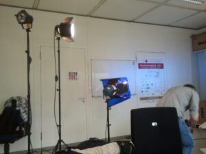
On Monday the 27th of May a camera team from the NDR visited the offices of the GIScience Research Group. The intent was to produce an introduction to the OpenStreetMap project and its potential for different applications like for instance special needs routing (such as rollstuhlrouting.de as a special version of OpenRouteService.org), emergency management and Disaster Mapping or 3D visualization (OSM-3D.org).


The short film provides information about recent research projects on OSM going on within our group. Additionally Professor Zipf was interviewed. The focus of this interview was on the big advantages the OSM project can provide for a wide range of different disaster scenarios. The devastating 2010 earthquake in Haiti was considered as an example as well as the Tōhoku earthquake (Fukushima) in 2011. In both cases the OSM community provided crucial assistance by contributing timely updates of the geoinformation on those spots. Finally, it was shown how the data collection proceeds. For this purpose, Christopher Barron collected some geodata outside of our offices.
The full interview will be part of the show “W wie Wissen”. It will be broadcast on ARD in the middle / the end of June. The exact date and time is still pending.


