Tag: Waterproofing data
-

Including Local Communities in Colombia´s Risk Governance with Participatory Mapping
In June 2024, researchers from the Urban Big Data Centre (UBDC) and HeiGIT (Heidelberg Institute for Geoinformation Technology) carried out a joint field trip to Colombia to strengthen participatory mapping collaborations. The visit included workshops, partner meetings, and field activities with communities, universities, and government institutions, with a focus on the use and development of…
-

Digitalizing Paper-based Participatory Risk Mapping with the Sketch Map Tool – IDRiM 2024. Cartagena, Colombia
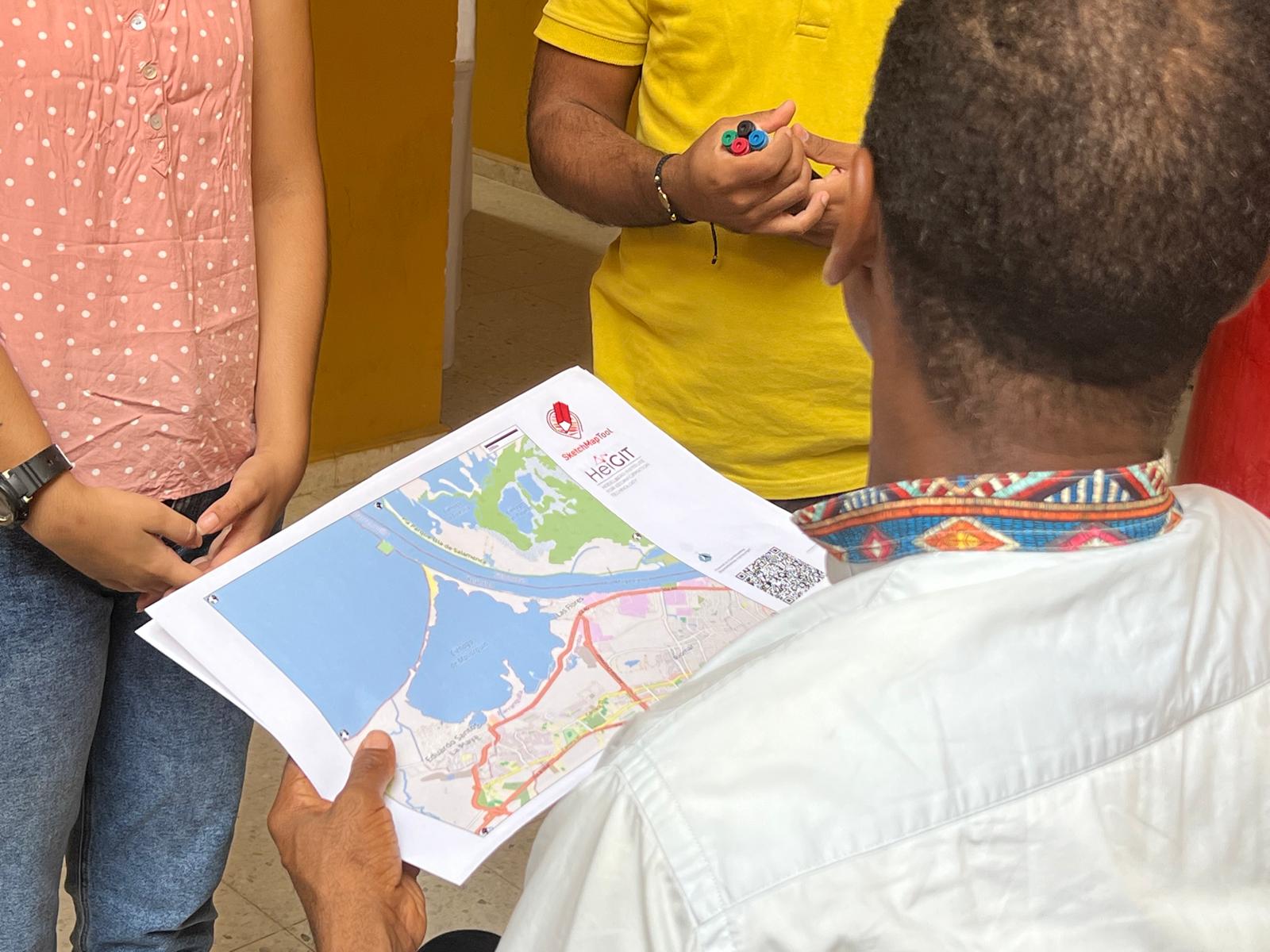
HeiGIT, the Colombian Red Cross (CRC), Colombia’s National University in Manizales (UNAL) and UBDC successfully ran the international workshop “Digitalizing Paper-based Participatory Risk Mapping with the Sketch Map Tool” at the IDRiM 2024 in Cartagena, Colombia on 29th of September 2024. This was the first time the conference was held in South America, with over…
-

Waterproofing Data – Engaging Stakeholders in Sustainable Flood Risk Governance for Urban Resilience
Join us at Impact Day on May 15th in the foyer of the Neue Universität, organized by the Heidelberg University! The event will showcase the university’s knowledge and technology transfer, spotlighting projects across four focal areas: socially relevant, industrial, sustainable and tangible. The “Socially Relevant” island addresses pressing social issues, while the “Industrial” island highlights…
-

‘Waterproofing Data’ Project wins ESRC Celebrating Impact Prize 2023
The “Waterproofing Data” project has won the ESRC Celebrating Impact Prize 2023 in the category “Outstanding Societal Impact” for helping to protect residents of flood-prone areas in Brazil. In 2018, Joao Porto de Albuquerque from the University of Glasgow initiated the project in which HeiGIT is also involved. The main goal of this project is…
-
GIScience/HeiGIT und DRK gemeinsam im CHAtroom – Im Podcast werden die Zusammenarbeit und das Sketch Map Tool vorgestellt
Anne Tritschler vom Centre for Humanitarian Action (CHA) spricht im Podcast CHAtroom mit Dr. Carolin Klonner (GIScience) und Dr. Natascha Bing (DRK) über den Einsatz von Geoinformationen in der humanitären Hilfe und welche Rolle dabei Karten, vor allem partizipatives Mapping, spielen. Lokales Wissen ist eine wichtige Informationsquelle, die in der Katastrophenvorsorge immer mehr zum Einsatz…
-
HGG Vortrag: Digitale Geographie im Katastrophenmanagement
Einladung Vortrag Online: Dienstag, 14. Dezember 2021, 19:15 Uhr Melanie Eckle-Elze, Benjamin Herfort, Dr. Carolin Klonner Digitale Geographie im Katastrophenmanagement Klimawandel, Bevölkerungswachstum, Verstädterung und weitere zunehmende Landnutzungsveränderungen führen dazu, dass immer mehr Menschen in Risikogebieten leben. Um die vorhandenen Risiken zu verstehen und angepasste (Vorsorge-) Maßnahmen zu ergreifen, bedarf es der Zusammenführung von Expertenwissen als…
-
HeiGIT and GIScience at Virtual Conference of the Red Cross Red Crescent Urban Collaboration Platform 2021
On Friday, November 26th, Dr. Carolin Klonner (GIScience Research Group) and Melanie Eckle-Elze (HeiGIT) will be supporting the Urban Context Unit of German Red Cross (GRC) in the “Data and Digitalisation in Urban Humanitarian Action” session at the Virtual Conference of the Red Cross Red Crescent Urban Collaboration Platform 2021. The focus of the session…
-
Waterproofing Data Project: Sharing experiences and accessing impacts
After three interesting years, the Waterproofing Data Project (WPD) comes to an end. Starting with a workshop in Brazil and several field trips, Corona times started and we had to rethink and reorganize our plans for the second half of the project. Our final workshop day in Heidelberg was also planned to be in person…
-
New paper published about the OSM Sketch Map Tool
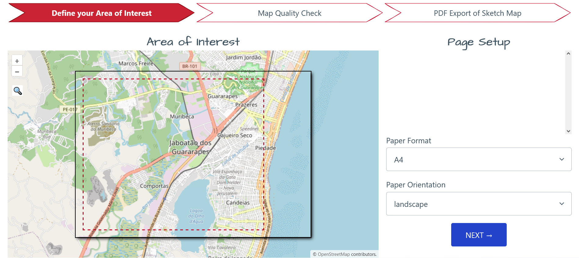
The Sketch Map Tool supports participatory mapping approaches and risk communication. An new paper presents the different functionalities of the tool. OSM data quality can be evaluated regarding the fitness for the sketch-map-approach. Based on the great idea of Field Papers, paper maps can be printed out for the use in the field, and afterwards,…
-
GIScience at GeOnG 2020
These days so much is different- also conferences. Carolin Klonner and Marcel Reinmuth attended the GeOnG 2020 virtually. Thanks to the organizers! It worked well and there was great exchange between the participants. The workshop on experiences in defining health catchment areas brought together diverse stakeholders and approaches. Marcel Reinmuth contributed from the scientific open…
-
GIScience/HeiGIT at GeOnG Conference 2020
Next week the biennial conference GeOnG will take place for the seventh time. On Monday and Tuesday 11/02-11/03 participants will join in over 30 live sessions around the topics of technology and information management in the humanitarian and development sector. This year’s theme is People at the heart of Information Management: promoting responsible and inclusive…
-
Humanitarian OpenStreetMap Team has been selected by the Audacious Project
The Humanitarian OpenStreetMap Team (HOT) has announced major financial support from the Audacious Project, which will be provided over the next five years. HOT aims to use this funding to grow OpenStreetMap (OSM) communities in 94 countries. By engaging one million volunteers the goal is to map an area home to one billion people living…


