Tag: UAV
-

3D Sensor Practical
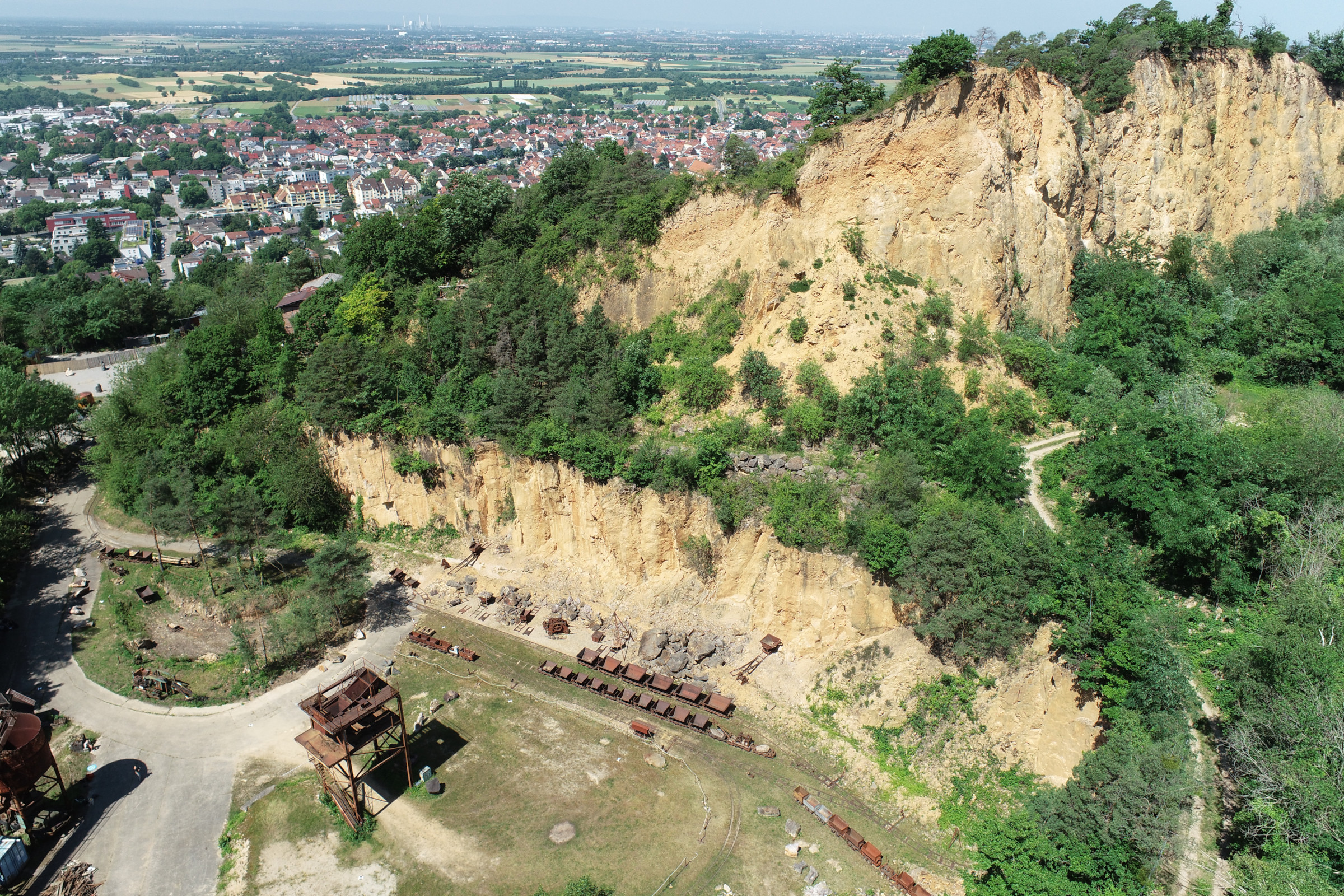
In June 2025, Ronald Tabernig and Hannah Weiser, researchers in the 3DGeo Research Group (Prof. Bernhard Höfle), held the annual 3D sensor practical, a two-day practical field course which took place in two exciting study sites close to Heidelberg: Our students learnt: Since we surveyed the same study sites last year, students will be able…
-
Continued multisource 3D point cloud acquisition at the AHK rock glacier
While the impacts of global warming and current heat waves on glaciated areas have been in the focus of media reporting in recent weeks, also the dynamics of rock glaciers as part of the periglacial environment are strongly affected by changing climate. Rock glaciers are creep phenomena of mountain permafrost and an integral part of…
-
Preview of 3DGeo @ EGU 2022 – Meet us there
The 3DGeo Research Group will present some of their latest research at EGU General Assembly 2022. We are looking forward to meet you at the following talks: Virtual Laser Scanning using HELIOS++ – Applications in Machine Learning and Forestry: The presentation provides an introduction to VLS, possible use cases, pitfalls and best practices for successful…
-
Uncovering the dynamics of the inland dunes in Sandhausen using UAV-borne 3D data acquisition
For the first time, the inland dunes in Sandhausen (Baden-Württemberg, Germany) have been captured by UAV-borne photogrammetry and laser scanning. The dunes are a precious habitat for many specialized plants and animals. They formed during the last ice age by sand drift from the Rhine valley. The large inland dunes, originally stretching from Karlsruhe to…
-
Multi-source 3D point cloud acquisition at the AHK rock glacier
Within the AHK-4D project, we continually monitor topographic change at the alpine rock glacier Äußeres Hochebenkar in Austria. Based on multitemporal and multi-source 3D point clouds at up to two-week acquisition intervals, we are developing methods to quantify the magnitudes and frequencies of individual processes of topographic change over varying timescales. This year, we have…
-
LOKI – Video on UAV-based damage assessment combining automated methods with Micro-Mapping
Interested in how earthquake-induced damage to critical infrastructures is assessed in the research project LOKI? Then check out this teaser below! Link to video In the LOKI project (Luftgestützte Observation Kritischer Infrastrukturen; Airborne Assessment of Critical Infrastructures), an interdisciplinary system that enables fast and reliable airborne situation assessments following an earthquake is being developed by…
-
OSM completeness mapping for airborne situation assessment following an earthquake
As part of the LOKI project (Luftgestützte Observation Kritischer Infrastrukturen), a first test run of a newly launched OpenStreetMap (OSM) completeness mapping project in MapSwipe has been conducted yesterday. The aim of the LOKI project is to develop an interdisciplinary system that enables fast and reliable airborne situation assessments following an earthquake. The system will…
-
New project: LOKI – Airborne Observation of Critical Infrastructures
On Feb 12, 2020, the kick-off meeting for the newly funded BMBF project LOKI – Airborne Observation of Critical Infrastructures (Luftgestützte Observation Kritischer Infrastrukturen) was hosted by the GIScience and 3DGeo research groups of Heidelberg University. The aim of the LOKI project is to develop an interdisciplinary system that enables fast and reliable airborne situation…
-
3DGeo licensed drone pilots
During the last weeks, members of the 3DGeo group were found studying for the “Kenntnisnachweisprüfung”, the official examination for drone pilots in Germany. Today, we are proud to announce that all six applicants from our group have passed both the theoretical test as well as a practical exam where they had to show their capability…
-
Impact of aquisition patterns on tree model estimation from UAV LiDAR
In close collaboration with the 3DGeo Research Group, Moritz Bruggisser of the Department of Geodesy and Geoinformation (RG Photogrammetry) presented his current research progress on the impact of acquisition patterns on the robustness and accuracy of tree models derived from UAV LiDAR for forest dynamic studies. His work fits well into the scope of the…
-
Colloquium on a low-cost mini-UAV laser scanning system (Kylin Cloud)
We cordially invite everybody interested to our next open GIScience colloquium talk The speaker is Prof. Bisheng Yang State Key Laboratory of Information Engineering in Surveying, Mapping and Remote Sensing, Wuhan University, Wuhan, China When: Monday 11.06.2018, 2:15 pm Where: INF 348, room 015 (Institute of Geography, Heidelberg University) A low-cost mini-UAV laser scanning system –…


