Tag: Twitter
-

#30DayMapChallenge Round-Up Part 1: Germany Three Ways
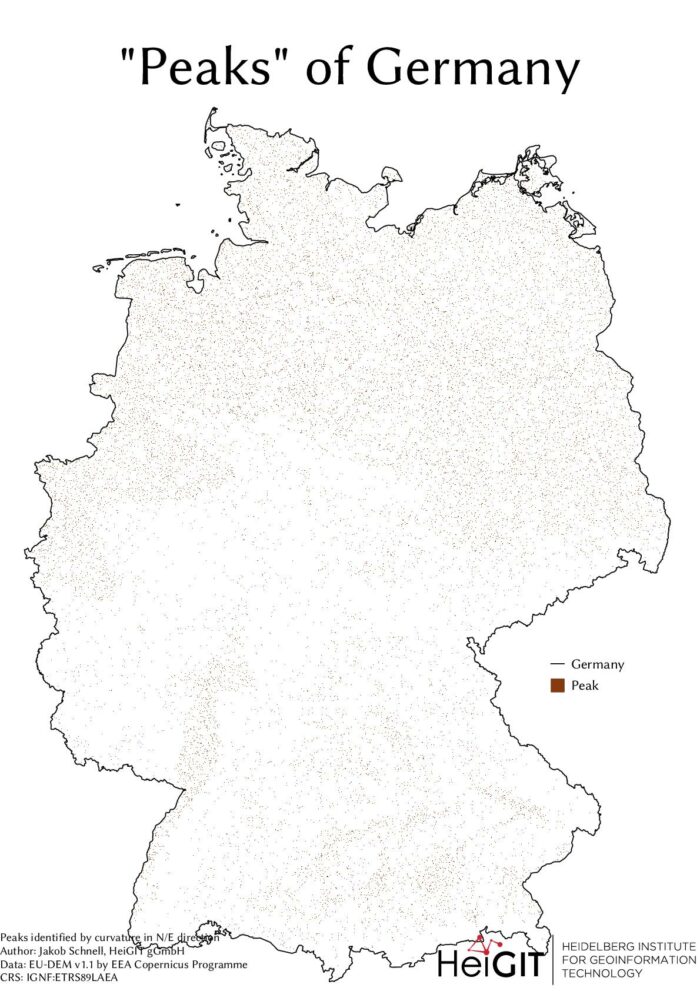
Featured Image: The peaks of Germany identified by curvature in N/E direction, Jakob Schnell’s contribution for Day 7 (Raster) of the #30DayMapChallenge. This past November, our teams at HeiGIT and GIScience participated in Topi Tjukanov’s Twitter event #30DayMapChallenge, where mappers display their creativity and ingenuity with a set of 30 daily prompts ranging from colors to…
-
Join our final “SocialMedia2Traffic” project presentation on March 22
Navigation services need time dependent information on traffic speed to generate suitable routes and yield accurate travel time estimations. However, this information is not available free of cost globally. Within the recently completed project “SocialMedia2Traffic”, we have developed a system to model traffic speed of urban roads depending on the time of day based on…
-
meinGrün, Tardur und SocialMedia2Traffic bei der mFUND Konferenz 2021
Letzte Woche konnten wir bei der digitalen mFUND Konferenz drei unserer Projekte einem interessierten Publikum vorstellen. Im Fachforum “Die „15-Minuten-Stadt“ datenbasiert ermöglichen” haben wir gezeigt, wie die meinGrün App, das meinGrün Webportal und die angegliederten Dienste Städte dabei unterstützen könnten, die Erreichbarkeit von öffentlichen Grünflächen zu verbessern. Dabei zeigten sich auch Anknüpfungspunkte zu weiteren mFUND…
-
OSM Missing Areas Identification paper is featured in August by ISPRS Journal of Photogrammetry and Remote Sensing
We are pleased that our article has been selected by the editors of ISPRS Journal of Photogrammetry and Remote Sensing as the featured Article in August 2020. This means it will be available open access for 1 year. Get your copy here and enjoy a nice summer reading: Li, H., B. Herfort, W. Huang, M. Zia,…
-
Jupyter Notebook: Combining Twitter Data and OpenRouteService Directions API
In the case of a disaster fast response is important and life saving. Information on blocked streets is crucial, but a the same time this infornations needs to be considered by routing engines in real-time. However, many routing engines use street network data which is at best updated once a week or even less often.…


