Tag: Red Cross
-
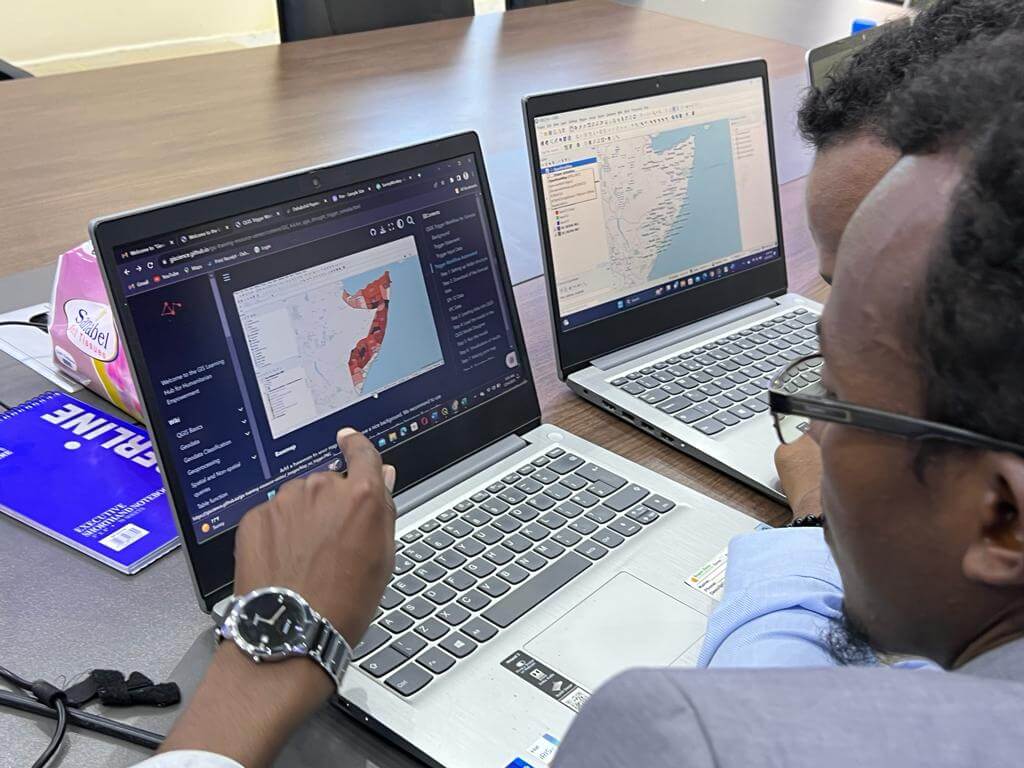
Unleashing the Power of GIS, Together: The IFRC Network GIS Training Platform
This article was originally published on the website of 510, the data and digital unit of The Netherlands Red Cross: Unleashing the Power of GIS, Together: The IFRC Network GIS Training Platform – 510 The Red Cross Red Crescent Movement has long channelled innovation to enhance humanitarian efforts. A shining example of this is the…
-
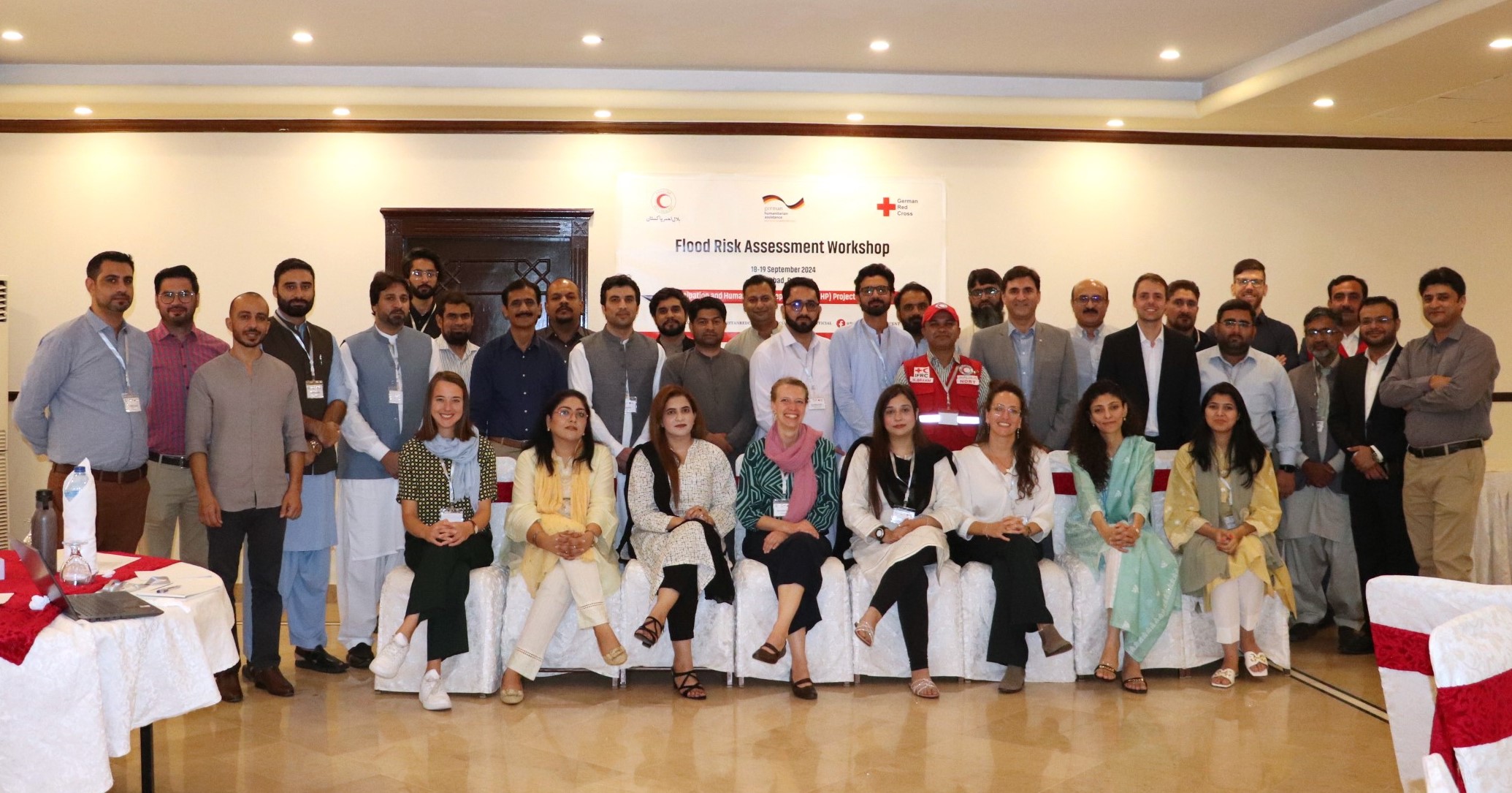
Acting Before the Disaster Happens: QGIS Training and Risk Assessment for Riverine Floods in Pakistan
In the field of humanitarian aid, Anticipatory Action (AA) is emerging as an important strategy to mitigate the impacts of natural disasters. At HeiGIT, we have been actively working with this approach to support local communities in building resilience. Unlike traditional reactive responses, AA aims to initiate predefined actions based on weather forecasts and risk…
-
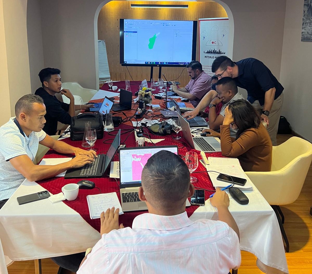
Acting Before the Disaster Happens: a Risk Assessment for Cyclones in Madagascar
Anticipatory Action for Disaster Management In the field of humanitarian aid, Anticipatory Action (AA) is emerging as an important strategy to mitigate the impact of hazards. Anticipatory Action is an innovative mechanism that intends to make humanitarian resources available before the disaster happens, based on prior data-driven forecasts and risk assessments. This approach seeks to…
-
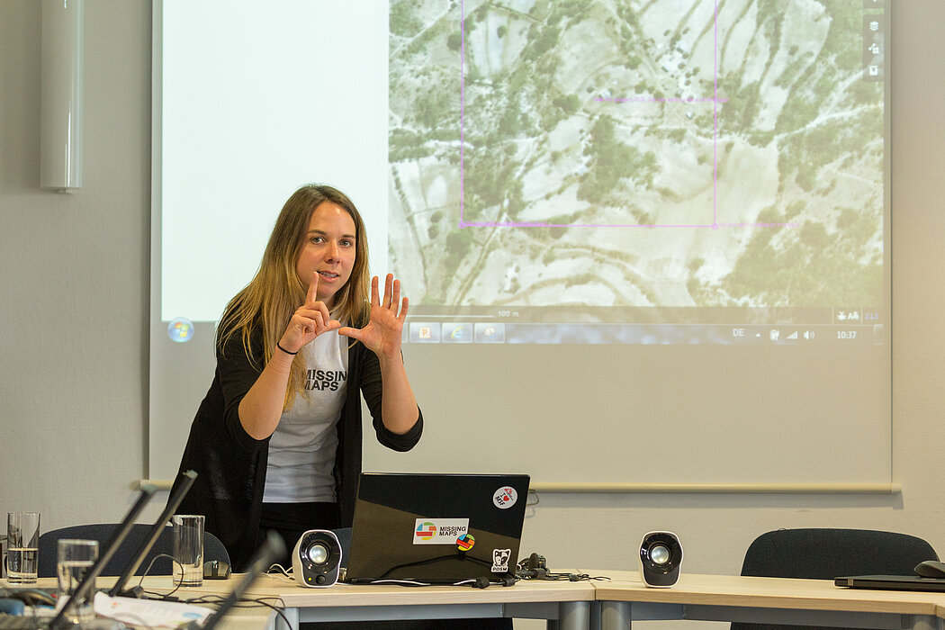
Strengthening humanitarian efforts with the German Red Cross
A few days ago, we had the pleasure of welcoming our longtime partners from the German Red Cross (GRC) to HeiGIT. Together, we not only mapped out our future priorities but also took a moment to look back on the journey we’ve shared since our partnership began in 2017. The strategic partnership was established to develop GIS…
-
World Humanitarian Day – How Maps can Help Aid Workers
August 19th marks World Humanitarian Day (WHD) to recognize the efforts of humanitarian workers and to advocate for the survival, well-being and dignity of people affected by crises, and for the safety and security of aid workers. One of many factors that are essential for effective humanitarian response and the security of people on site…
-
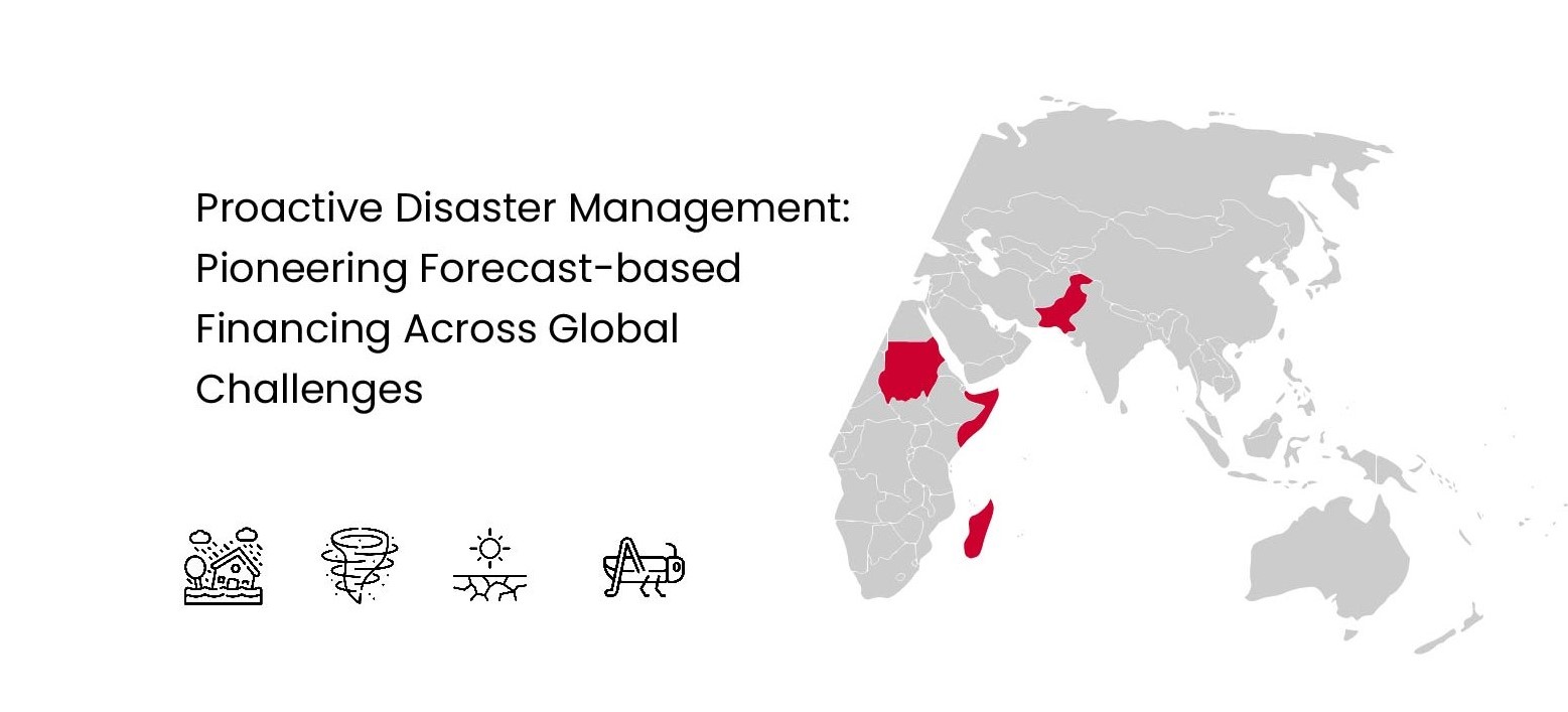
Proactive Disaster Management: Pioneering Forecast-based Financing Across Global Challenges
Forecast-based Financing (FbF) is an innovative approach to disaster management that focuses on taking early action based on meteorological forecasts and risk assessments to mitigate the impacts of potential disasters. Instead of waiting for a disaster to strike and then responding, FbF enables preemptive measures that can significantly reduce the negative consequences on affected populations.…
-

Somaliland GIS Training
Since 2022, HeiGIT is providing technical support to the Somali Red Crescent Society (SRCS) in Somalia. The objective was the development of an Early Action Protocol (EAP) for droughts in Somalia, a plan developed by RCRC National Societies that outlines early actions to be taken when a specific hazard is forecasted to impact communities. In…
-
Join The Team: Student Assistant (m/f/d) for QGIS Training Platform for Humanitarian Aid and Disaster Response
Dear Students, we at HeiGIT are currently looking for a student assistant for our QGIS Training Platform for Humanitarian Aid and Disaster Response. Your Tasks will mostly be to create and manage training materials for QGIS Trainings for Red Cross and Red Crescent Societies based on existing materials, video editing of short clips for the…
-
MapSwipe wins Global Mobile Award for the Best Mobile Innovation Supporting Emergency or Humanitarian Situations
This week, at the prestigious GSMA MWC series (formally known as Mobile World Congress) MapSwipe was awarded the top prize in the Global Mobile Awards’ category for the Best Mobile Innovation Supporting Emergency or Humanitarian Situations. The award recognizes how mobile connectivity can provide a lifeline in major humanitarian disasters, providing access to critical information and…
-
Tools for Disaster Risk Reduction by HeiGIT – Celebrating the International Day for Disaster Risk Reduction
Today we celebrate the International Day for #DisasterRiskReduction. HeiGIT offers a growing set of tools and services that support humanitarian aid during and before disasters. Examples include work in the context of the Missing Maps initiative, like conceptualising and extending microtasking apps like MapSwipe, as well as services for analysing MapSwipe data and making it…
-
Addressing the challenge of localizing SDGs with openrouteservice
Where is the next health center? What areas show less accessibility to health centers and are therefore the most vulnerable? In 2018, the openrouteservice team already illustrated how these questions related to vulnerability can be addressed with openrouteservice APIs, at that time for disaster prone regions in Madagascar. Learn more here. Also at that time…


