Tag: py4dgeo
-

Kick-off: Extract4D Project
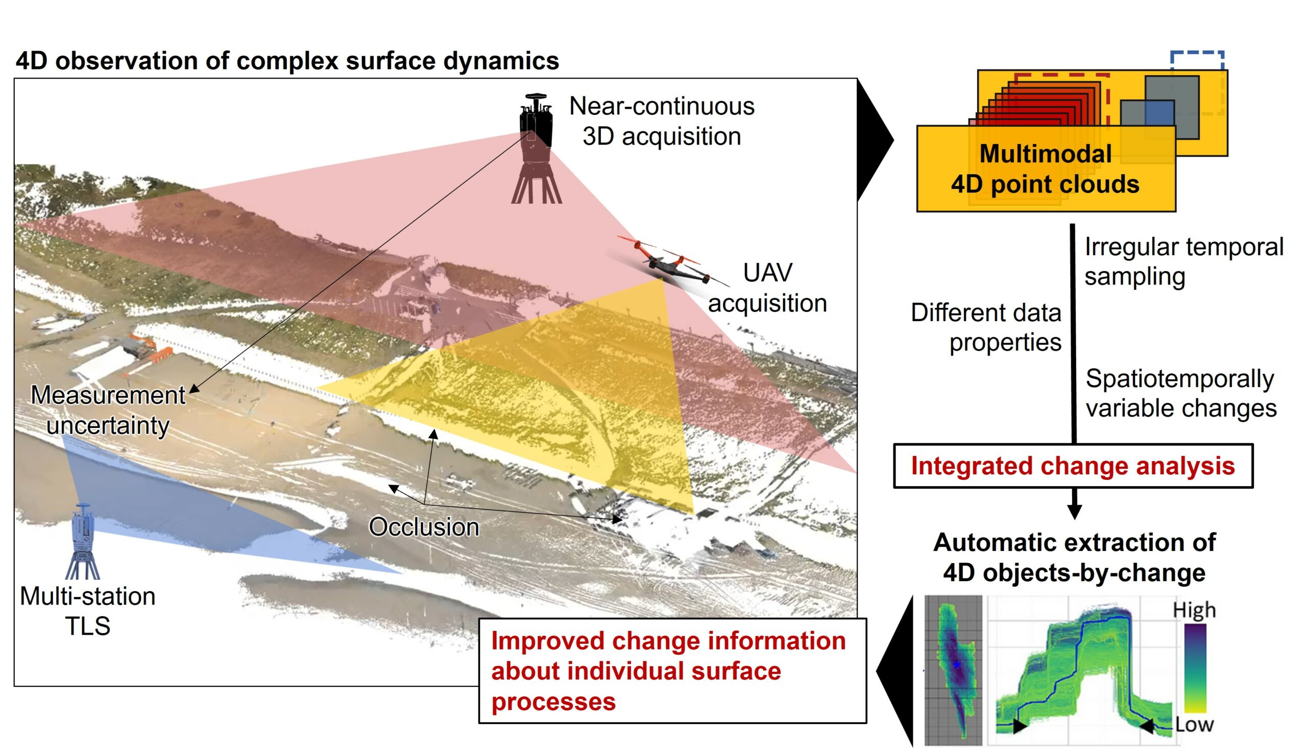
Last week, we, 3DGeo Heidelberg (Prof. Dr. Bernhard Höfle), had a kick-off meeting for our new joint research project Extract4D, led by Prof. Dr. Katharina Anders (TU Munich, Remote Sensing Applications). Here is a sneak peek at this exciting research project. Background The Earth’s surface is constantly being shaped by wind, water and gravity. Observing…
-
Kick-off: AImon5.0 – Real-time monitoring of gravitational mass movements for critical infrastructure risk management with AI-assisted 3D metrology
In September 2023, our new research project AImon5.0 has been kicked-off. In this project the open-source frameworks HELIOS++ and py4dgeo of the 3DGeo research group will be combined to enhance current approaches for operational risk monitoring. AImon5.0 is an interdisciplinary collaboration project of the 3DGeo research group with DMT GmbH & Co. KG (project leader),…
-
CharAct4D – Unravelling Landscape Dynamics via Automatic Characterization of Surface Activity using Geographic 4D Monitoring
With her new project CharAct4D Dr. Katharina Anders has become part of the Eliteprogramme for Postdocs of the Baden-Württemberg Stiftung, which supports early career researchers to qualify for a professorship -check the related press release by Heidelberg University. Many congratulations, Katharina! Katharina’s research interests in the 3DGeo research group are method development for 3D/4D change analysis…


