Tag: Photogrammetry
-

3D Sensor Practical
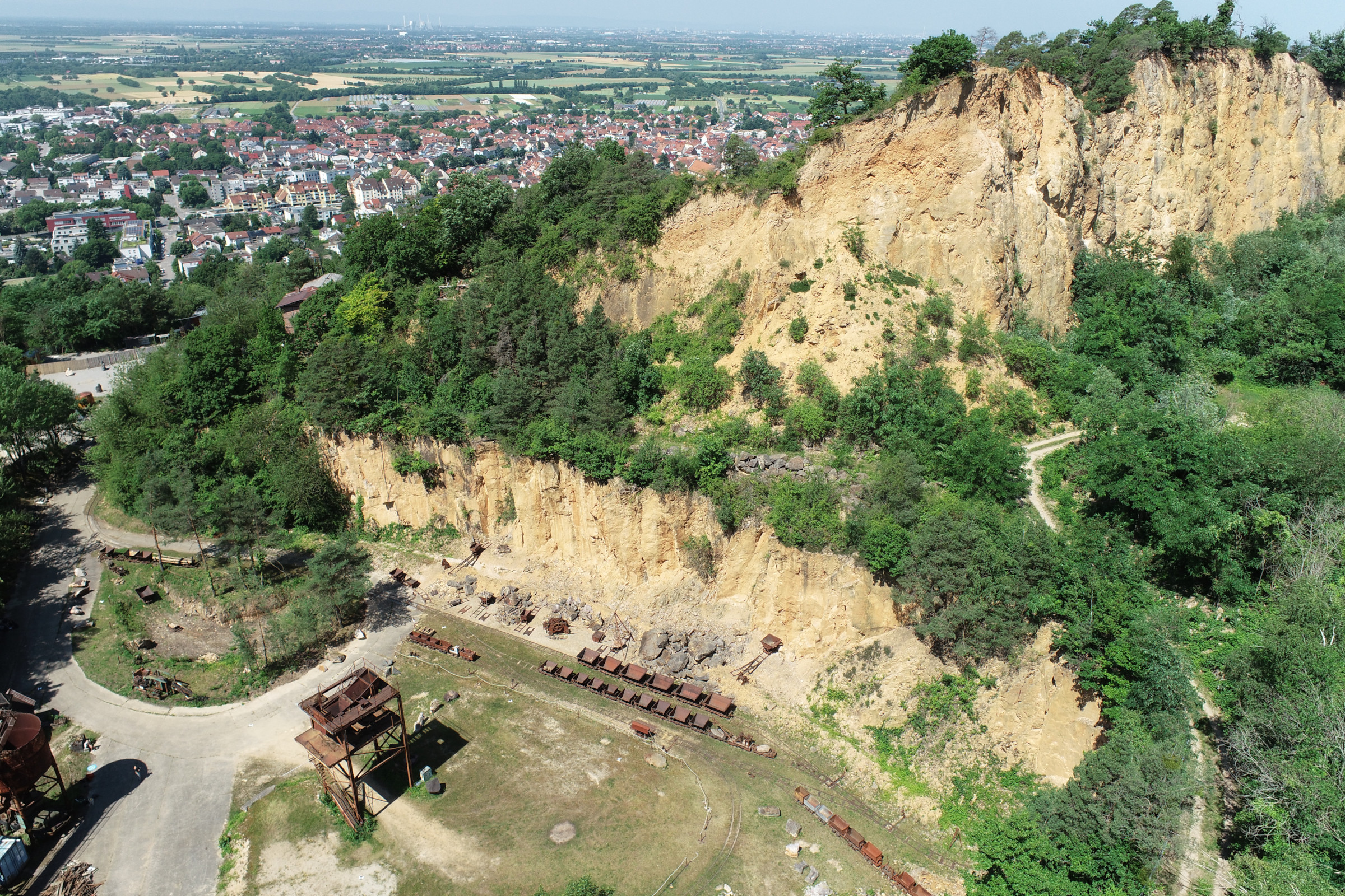
In June 2025, Ronald Tabernig and Hannah Weiser, researchers in the 3DGeo Research Group (Prof. Bernhard Höfle), held the annual 3D sensor practical, a two-day practical field course which took place in two exciting study sites close to Heidelberg: Our students learnt: Since we surveyed the same study sites last year, students will be able…
-
Hells Bells – interactive 3D view of underwater speleothems
In collaboration with the Institute of Earth Sciences at Heidelberg University, the 3DGeo group reconstructed underwater speleothems in a cave in Yucatán, Mexico. The so-called “Hells Bells” are fascinating formations in several sinkholes, at the boundary layer between fresh- and saltwater. The full 3D mesh model obtained from several thousand photographs taken by a professional…
-
GIScience Heidelberg at Annual Meeting of DGPF
Last week, members of GIScience Heidelberg participated in the 40th annual meeting of the DGPF (German association for photogrammetry and remote sensing) in Stuttgart, Germany. Presentations were contributed by PhD students Lukas Winiwarter and Katharina Anders (3DGeo Research Group), as well as former GIScience fellow Jun-Prof. Dr. René Westerholt. Read up on the presented topics…
-
3DGeo licensed drone pilots
During the last weeks, members of the 3DGeo group were found studying for the “Kenntnisnachweisprüfung”, the official examination for drone pilots in Germany. Today, we are proud to announce that all six applicants from our group have passed both the theoretical test as well as a practical exam where they had to show their capability…
-
AGEO Award 2019 at AGIT in Salzburg: Third place for Lukas Winiwarter
3DGeo group member Lukas Winiwarter was awarded the third place of this year’s AGEO award at the AGIT2019 in Salzburg for his diploma thesis on “Classification of 3D Point Clouds using Deep Neural Networks”. It was carried out at TU Wien under the supervision of Dr. Gottfried Mandlburger and Prof. Dr. Norbert Pfeifer, and has…
-
Colloquium on image processing for geomorphological and hydrological monitoring
We cordially invite everybody interested to our next open GIScience colloquium talk! The speaker is Dr. Anette Eltner TU Dresden, Institute of Photogrammetry und Remote Sensing When: Monday 01.07.2019, 2:15 pm Where: INF 348, room 015 (Institute of Geography, Heidelberg University) Image processing for geomorphological and hydrological monitoring The potential of images to answer research questions…
-
ISSAR19 – Third Innsbruck Summer School of Alpine Research
Close-range sensing techniques in Alpine terrain have been taught in the frame of a bi-annual ISPRS summer school since 2015. This week, a group of 40 young researchers (mainly PhD students) is participating in the third edition of the summer school to learn about various sensors, processing techniques, and analysis methods for different topics in…
-
Live from the Ötztal Alps (#3): Exploring high mountain 3D geoinformation
On the last day of fieldwork in the rotmoos valley two groups (terrestrial laser scanning (TLS) and photogrammetry) set off to the rotmoos glacier again. A second TLS dataset was aqcuired which enables the students to perform a change detection or deformation analysis. The electrical resistivity tomography (ERT) group futher explored the pre-Quaternary relief in…
-
Live from the Ötztal Alps (#2): Exploring high mountain 3D geoinformation
Today was the second day of field work in the Rotmoos valley in the Ötztal Alps for our 16 students. The hot sun challenged the data acquisition but the impressive landscape makes up for every effort. The terrestrial laser scanning group climbed up the valley flanks to acquire a high resolution point cloud from an…
-
Live from the Ötztal Alps (#1): Exploring high mountain 3D geoinformation
As part of the practical field training “3D Geodatenerfassung im Hochgebirge (Ötztal)”, 29 July – 04 August, 16 students explore pyhsical geography in an impressive high-mountain environment in the Ötztal valley, Austria. With the help of terrestrial LiDAR, RTK GNSS, close range photogrammetry and electrical resistivity tomography (ERT), multi-source datasets will be captured for the…
-
ArchEyeAutomatic summer school 2017
From 26 to 28 July, the 3D spatial data processing group contributed to the “ArchEyeAutomatic summer school 2017: Cameras, Drones, and Laser scanning. Modern ways to document ancient objects”. With a focus on documenting and analyzing archaeological sites and objects, the summer school introduced around 40 participants to various methods of close-range remote sensing at…


