

Tag: disaster risk management
-
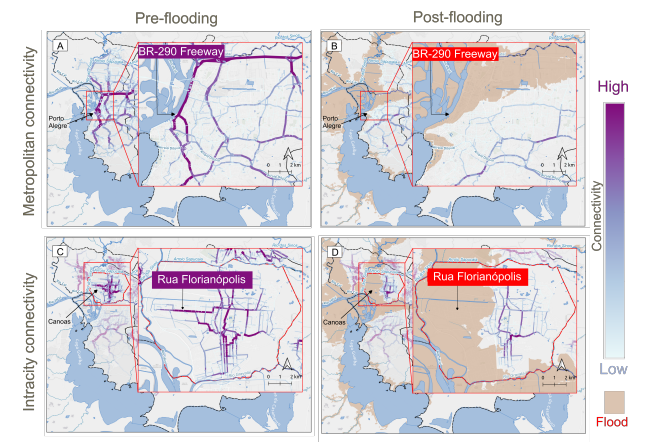
New paper “Changes in Road Centrality and Hospital Access Redundancy: Impacts of the 2024 Flood in the Metropolitan Core of Porto Alegre”
This study examines the resilience of urban infrastructure, with a focus on road network connectivity and redundancy in the face of extreme weather events. Using OpenStreetMap (OSM) data and the openrouteservice (ORS) routing engine, the research assesses centrality metrics and redundancy to evaluate how floods impact mobility and access to critical services, such as healthcare.…
-
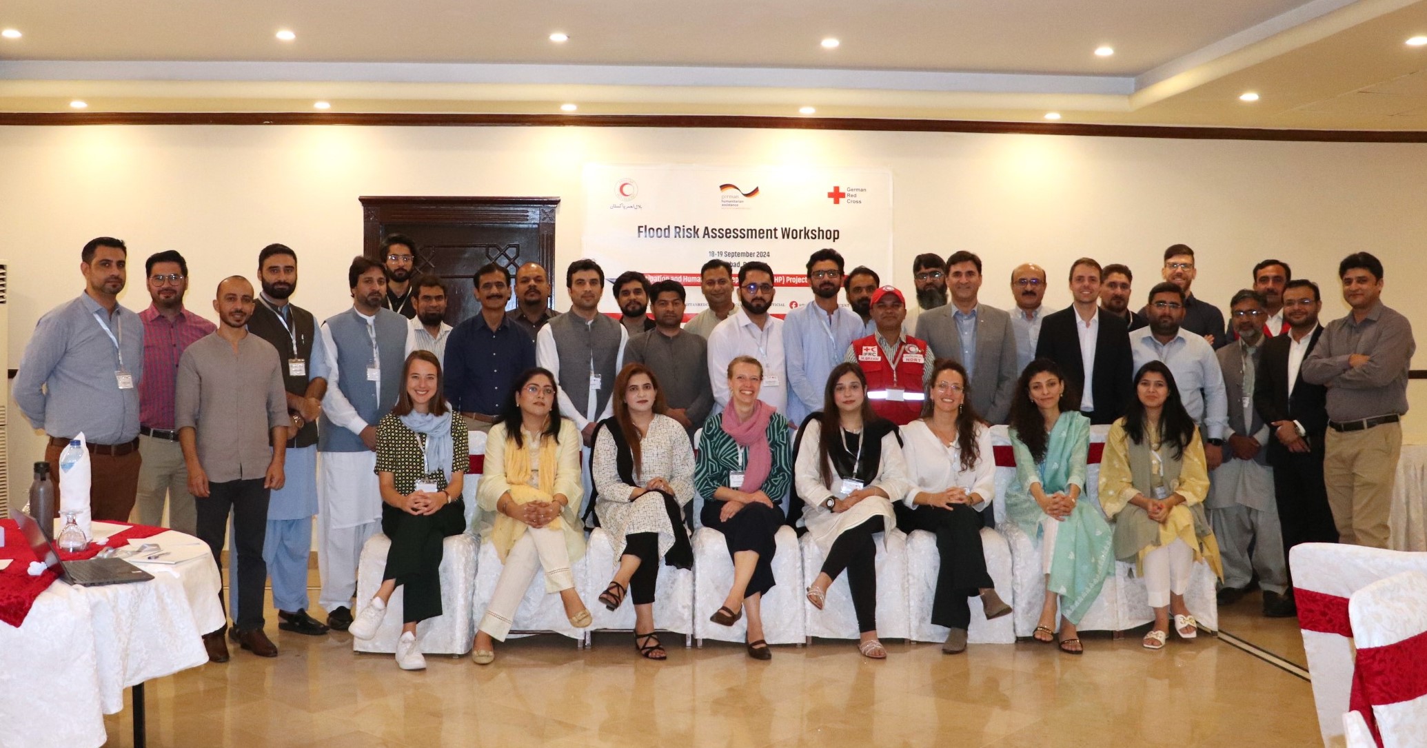
Acting Before the Disaster Happens: QGIS Training and Risk Assessment for Riverine Floods in Pakistan
In the field of humanitarian aid, Anticipatory Action (AA) is emerging as an important strategy to mitigate the impacts of natural disasters. At HeiGIT, we have been actively working with this approach to support local communities in building resilience. Unlike traditional reactive responses, AA aims to initiate predefined actions based on weather forecasts and risk…
-
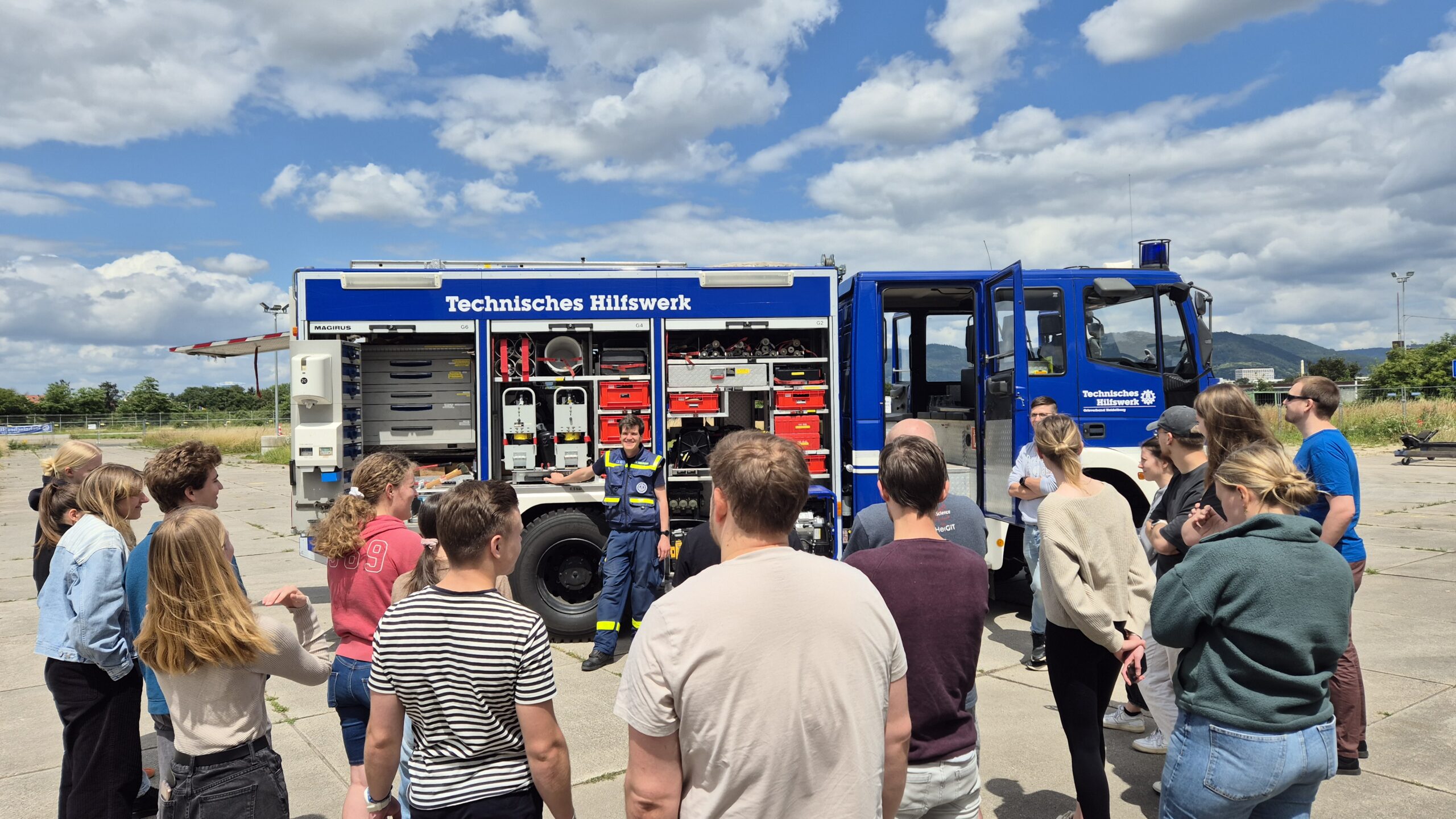
GIS for Disaster Response: A Field Trial by the University of Heidelberg
Two weeks ago, as part of a seminar on GIS for Disaster Risk Reduction led by HeiGIT employees, students from Heidelberg University tested several HeiGIT services in a field test. The focus was on the following applications: openrouteservice, the disaster portal and the Sketch Map Tool. In cooperation with the THW local branch in Heidelberg,…
-
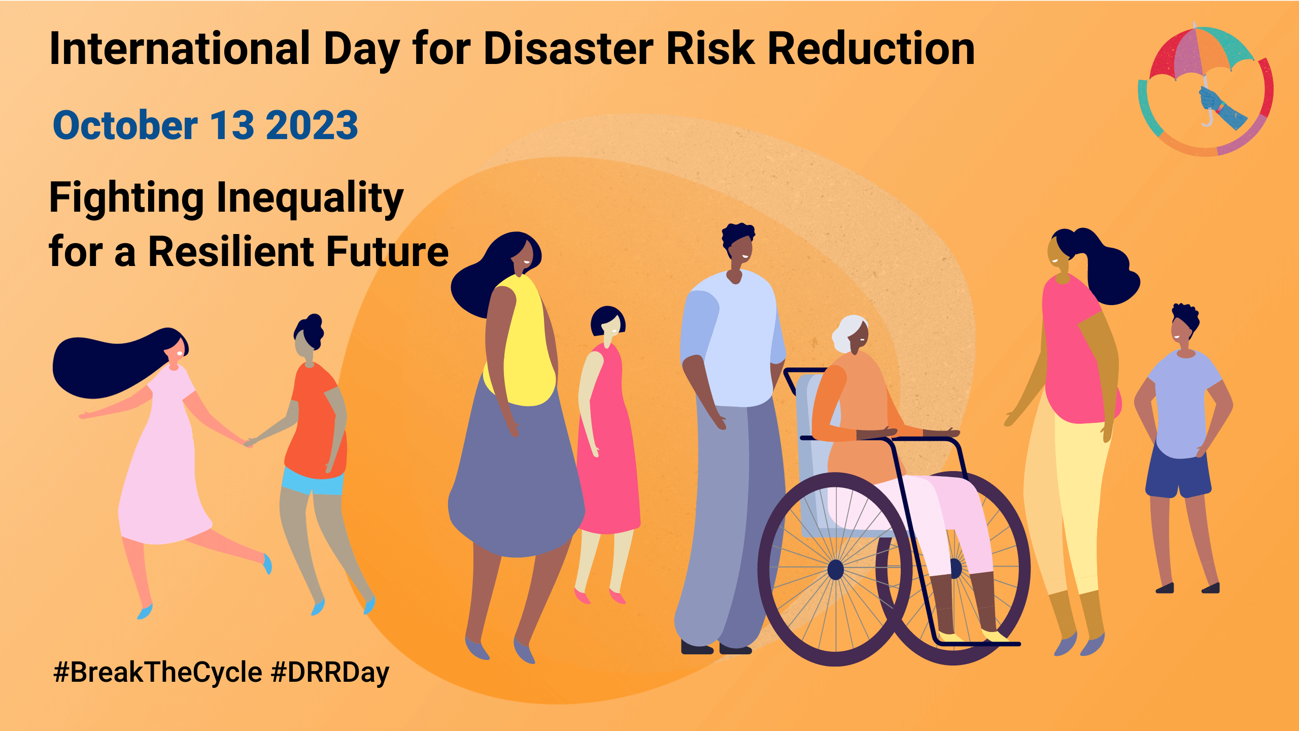
Today is the International Day for Disaster Risk Reduction!
Did you know that October 13th is the International Day for Disaster Risk Reduction (IDDRR)? Since 1989, the United Nations Office for Disaster Risk Reduction promotes a global culture of risk-awareness and disaster reduction on this day and encourages the community to share their events, promotions and ideas regarding disaster risk reduction. Under this year’s…
-

HeiGIT at Summer School Disaster Risk Reduction 2023
Today we’d like to tell you about the Summer School Disaster Risk Reduction 2023 event hosted by the Environmental Campus of UAS Trier in Germany and organized by the German Committee for Disaster Reduction (DKKV). During this one-week course that took place from the 9th till the 15th of July 2023, students and people interested…
-
Flood Impact Assessment on Road Network and Healthcare Access at the example of Jakarta, Indonesia
Extreme natural events create catastrophic situations for cities and their populations. Due to climate change and anthropogenic activities, the number and intensity of these events has steadily increased at the global scale. Floods are the most common natural disaster worldwide, responsible for economic, social and life losses. Low-income countries have a death rate 23 times…
-
ISCRAM GIS Track: Deadline extended for WiP and Practitioner papers: February 21, 2021
ATTENTION!! One week deadline extension. Are you working on GIS for disaster management? Hurry up! You have until Feb, 21 to submit your WIP or Practitioner paper to GIS Track. Extended Submission deadline for WiP and Practitioner papers: February 21, 2021 – updated Track: Geospatial Technologies and Geographic Information Science for Crisis Management (GIS) https://www.drrm.fralinlifesci.vt.edu/iscram2021/files/CFP/ISCRAM2021-Track10-Geospatial_Technologies…
-
Deadline ahead: 06.December : 18th International Conference on Information Systems for Crisis Response and Management (ISCRAM 2021), 3rd CALL FOR PAPERS
3rd CALL FOR PAPERS – 18th International Conference on Information Systems for Crisis Response and Management (ISCRAM 2021) May 23-26, 2021, Virginia, USA – https://www.drrm.fralinlifesci.vt.edu/iscram2021/ Virginia Tech Track: Geospatial Technologies and Geographic Information Science for Crisis Management (GIS) https://www.drrm.fralinlifesci.vt.edu/iscram2021/files/CFP/ISCRAM2021-Track10-Geospatial_Technologies Deadline for paper submissions: December 6, 2020 * Track Description With crisis and hazardous events being an…
-
CALL FOR PAPERS – GIS Track at 18th International Conference on Information Systems for Crisis Response and Management (ISCRAM 2021)
CALL FOR PAPERS – 18th International Conference on Information Systems for Crisis Response and Management (ISCRAM 2021) May 23-26, 2021, Virginia, USA – https://www.drrm.fralinlifesci.vt.edu/iscram2021/ Virginia Tech Track: Geospatial Technologies and Geographic Information Science for Crisis Management (GIS) https://www.drrm.fralinlifesci.vt.edu/iscram2021/files/CFP/ISCRAM2021-Track10-Geospatial_Technologies Deadline for paper submissions: December 6, 2020 * Track Description With crisis and hazardous events being an “inherently…
-
Reminder: Deadline next week Fri 06.12.2019: GIS Track ISCRAM 2020 at Virginia Tech
: CALL FOR PAPERS for the GIS track at 17th International Conference on Information Systems for Crisis Response and Management (ISCRAM 2020) May 24-27, 2020, Virginia, USA https://www.drrm.fralin.vt.edu/iscram2020/ Track: Geospatial Technologies and Geographic Information Science for Crisis Management (GIS) https://www.drrm.fralin.vt.edu/iscram2020/files/CFP/ISCRAM2020-Geospatial_Technologies_and_GIS.pdf Deadline for paper submissions: December 6, 2019 Track Description With disasters and disaster management being…
-
GeoNet.MRN at Smart City Expo World Congress Barcelona 2019
Last week was the Smart City Expo World Congress 2019 took place in Barcelona. Our region geoinformation network GeoNet.MRN was there with a booth presenting the members of GeoNet.MRN, among others the GIScience Research Group / HeiGIT at Heidelberg University. We offer a range of technologies and services for building sustainable smart cities, esp. in the…
-
Tools for Disaster Risk Reduction by HeiGIT – Celebrating the International Day for Disaster Risk Reduction
Today we celebrate the International Day for #DisasterRiskReduction. HeiGIT offers a growing set of tools and services that support humanitarian aid during and before disasters. Examples include work in the context of the Missing Maps initiative, like conceptualising and extending microtasking apps like MapSwipe, as well as services for analysing MapSwipe data and making it…