

Search results for: “public health”
-
Joint International Tropical Medicine Meeting 2023
GIScience member and PhD candidate Steffen Knoblauch was invited as a speaker at the Joint Internationl Tropical Medicine Meeting (JITMM) 2023. The conference’s focal topic was “Achieving the SDGs: Human and AI-driven Solutions for Tropical Medicine in a Changing world” and it was hosted by the faculaty of Tropical Medicine, Mahidol University and co-organized by…
-
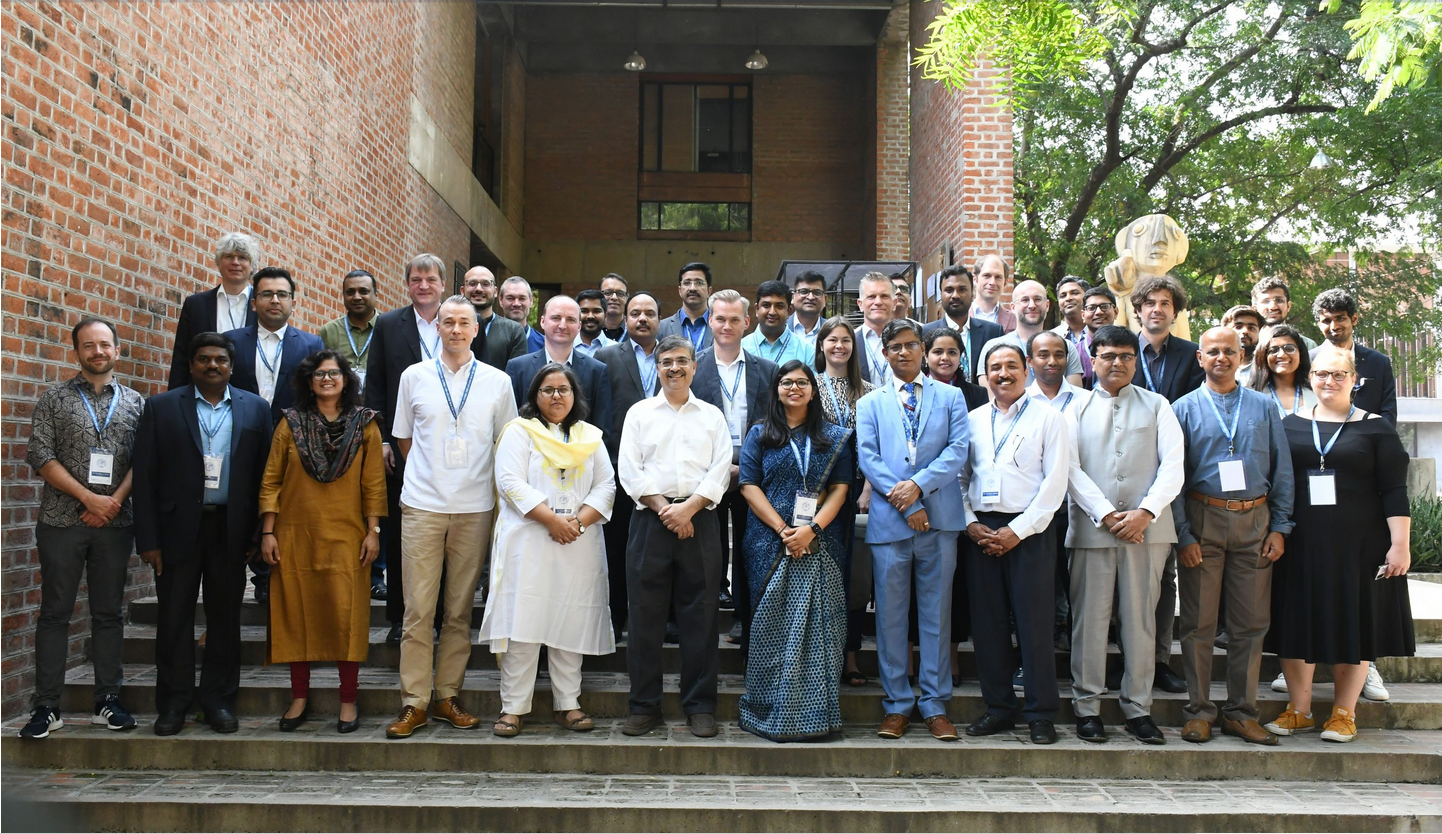
HeiGIT at the International Land Use Symposium in India
HeiGIT Scientific and Managing Director Prof. Dr. Alexander Zipf and HeiGIT Chief Scientist Adj. Prof Dr. Seven Lautenbach attended the 4th International Land Use Symposium at CEPT University in Ahmedabad, India. The symposium was held from 4th – 6th October 2023 under the main theme “Urban Analytics for Transforming Cities and Regions: Tools, Methods and…
-
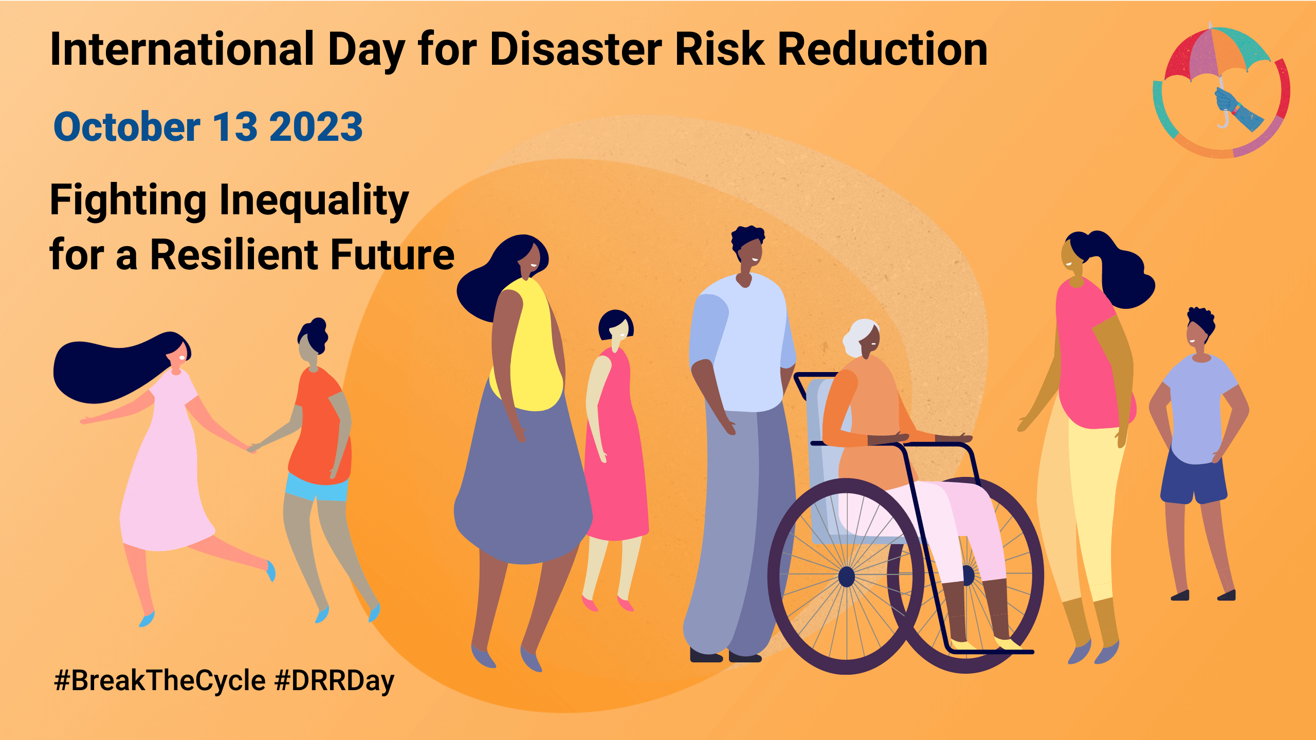
Today is the International Day for Disaster Risk Reduction!
Did you know that October 13th is the International Day for Disaster Risk Reduction (IDDRR)? Since 1989, the United Nations Office for Disaster Risk Reduction promotes a global culture of risk-awareness and disaster reduction on this day and encourages the community to share their events, promotions and ideas regarding disaster risk reduction. Under this year’s…
-
Research Visit at Universidade Federal Fluminese (UFF) in Rio de Janeiro
In context of his research on mosquito monitoring and inner-urban dengue occurence, PhD student and GIScience team member Steffen Knoblauch visited the “Universidade Federal Fluminese” (UFF) in Niterói, State of Rio de Janeiro, Brazil. He was invited to meet collaborators and professors of UFF and to present his work in “Dengue Risk Modelling at an Urban…
-
Mosquito App Alert
Prof. Dr. Alexander Zipf and Charlie Hatfield from HeiGIT contribute with their expertise on participatory science to an interdisciplinary case study by IDAlert on the monitoring of invasive mosquito populations in Heidelberg and the Rhine-Neckar-Region. One part of the case study is the Mosquito Alert App that recently has been launched in Germany and draws…
-
Leveraging OpenStreetMap and Multimodal Remote Sensing Data with Joint Deep Learning for Wastewater Treatment Plants Detection
Humans rely on clean water for their health, well-being, and various socio-economic activities. During the past few years, the COVID-19 pandemic has been a constant reminder of about the importance of hygiene and sanitation for public health. The most common approach to securing clean water supplies for this purpose is via wastewater treatment. To date,…
-
Accessibility to pharmacies in Germany with 15km Covid-19 restriction
Current lockdown regulations in Germany state that – in many but not all federal states – travel in COVID-19 hotspot regions is only allowed up to 15km distance. This has raised concerns since a 15km radius has been perceived by some as a serious constraint especially in rural regions. Clearly, this might prevent visits to…
-
Physische Erreichbarkeiten von Krankenhäusern in Subsahara Afrika – Analyse und Ergebnisse bei COVID-19 Symposium vorgestellt
Vom 06. bis zum 08. Juli fand das Online Symposiums “COVID-19 als Zäsur? Geographische Perspektiven auf Räume, Gesellschaften und Technologien in der Pandemie” statt. Teilnehmer aus Geographie, Medizin, Public health und meidizinischer Geographie diskutierten über drei Tage in sechs verschiedenen Sessions aktuelle Implikationen der COVID-19 Pandemie im Rahmen von Studienergvorhaben und -ergebnissen. In der Session…
-
Data Journalism WebApp about Accessibility in Sweden according to Corona Travel Recommendations
Sveriges Television AB (the public Swedish television company) has published a data journalism WebApp showing how far one can travel according to the recommendations from the Swedish Public Health Authority. Of course the safest recommendation is not to travel at all during the corona crises – but if one absolutely has to, shorter trips of…
-
Multi-Parameter Relief Map from High-Resolution DEMs: A Case Study of Mudstone Badland
Topographic parameters of high-resolution digital elevation models (DEMs) with meter to sub-meter spatial resolution, such as slope, curvature, openness, and wetness index, show the spatial properties and surface characterizations of terrains. The multi-parameter relief map, including two-parameter (2P) or three-parameter (3P) information, can visualize the topographic slope and terrain concavities and convexities in the hue,…
-
Wikimedia and MSF talks @Disaster 2.0 seminar- Latest theory and practice in disaster management
How are Wikipedia/Wikimedia volunteers supporting disaster management? What role does their engagement all around open source and open data play? What are the latest developments and innovations in humanitarian contexts and how are they defined and addressed? These questions were discussed in the first block of the Disaster 2.0 seminar last week. Daniel Mietchen, Biophysicist…
-
14. Modellierungstag Rhein-Neckar am 1. Februar 2018
1. Februar 2018 – 14:00 Uhr Mathematikon Im Neuenheimer Feld 205 Konferenzraum 5. Etage 69120 Heidelberg Der Modellierungstag Rhein-Neckar eröffnet Praktikern und Wissenschaftlern die Gelegenheit, Innovationen zur Diskussion zu stellen, Gemeinsamkeiten und Unterschiede der verwendeten Modellierungsansätze herauszuarbeiten und den gegenseitigen Erfahrungsaustausch zu pflegen. Weitere Informationen finden Sie hier: http://www.modellierungstag.de/ Programm 14:00 Michael Winckler (IWR, Universität…