

Search results for: “syssifoss”
-
Open laser scanning data of trees – SYSSIFOSS project
Our forest laser scanning dataset collected in the frame of the SYSSIFOSS project is now openly available through the PANGAEA Data Publisher: Weiser, H., Schäfer, J., Winiwarter, L., et al. (2021): Terrestrial, UAV-borne and airborne laser scanning point clouds of central European forest plots, Germany, with extracted individual trees and manual forest inventory measurements. PANGAEA,…
-
SYSSIFOSS at EGU21 on 26 April
From 19 to 30 April 2021, European researchers from the Earth, planetary and space sciences are gathering in the virtual European Geosciences Union (EGU) assembly. On Monday, 26 April, two SYSSIFOSS presentations will be opening the block “Point clouds for forestry applications” in session BG11 – Remote sensing for forest applications. Dr. Fabian E. Fassnacht…
-
SYSSIFOSS project video on the potential of synthetic LiDAR data in forestry applications
Do you want to find out about the potential of simulating LiDAR data over synthetic forest stands and the steps to get there? Get to know the SYSSIFOSS research project in the video below! Link to video In SYSSIFOSS we are using 3D LiDAR forest data to create a database of diverse model trees (different…
-
SYSSIFOSS project @ 2nd symposium on satellite-based earth observation in Cologne
On November 12-13, Jannika Schäfer from KIT presented the SYSSIFOSS project at the 2nd symposium on satellite-based earth obersvation (2. Symposium zur angewandten Satellitenerdbeoachtung) in Cologne. SYSSIFOSS is a joint project between the Institute of Geography and Geoecology (IFGG) of the Karlsruhe Institute of Technology (KIT) and the 3DGeo Research Group of Heidelberg University. In…
-
SYSSIFOSS project start and first test scans
On May 1st, the SYSSIFOSS project has started and first test scans have already been conducted in the forest. Experciences from these initial testings serve as a basis for many field campaigns this summer which aim at the acquisition of high-density point clouds of 140 single trees with a RIEGL VZ-400 terrestrial laser scanner. Moreover,…
-
SYSSIFOSS – Synthetic structural remote sensing data for improved forest inventory models
Airborne light detection and ranging (LiDAR) data provides reliable information on forest structure. Related forest inventory approaches recently evolved into operational tools. Today, further optimization of existing approaches is pursued to ensure high data quality of the inventory information and cost-efficiency over varied environmental and silvicultural conditions. Synthetic LiDAR data has been suggested as useful…
-
Deep learning with simulated laser scanning data for 3D point cloud classification
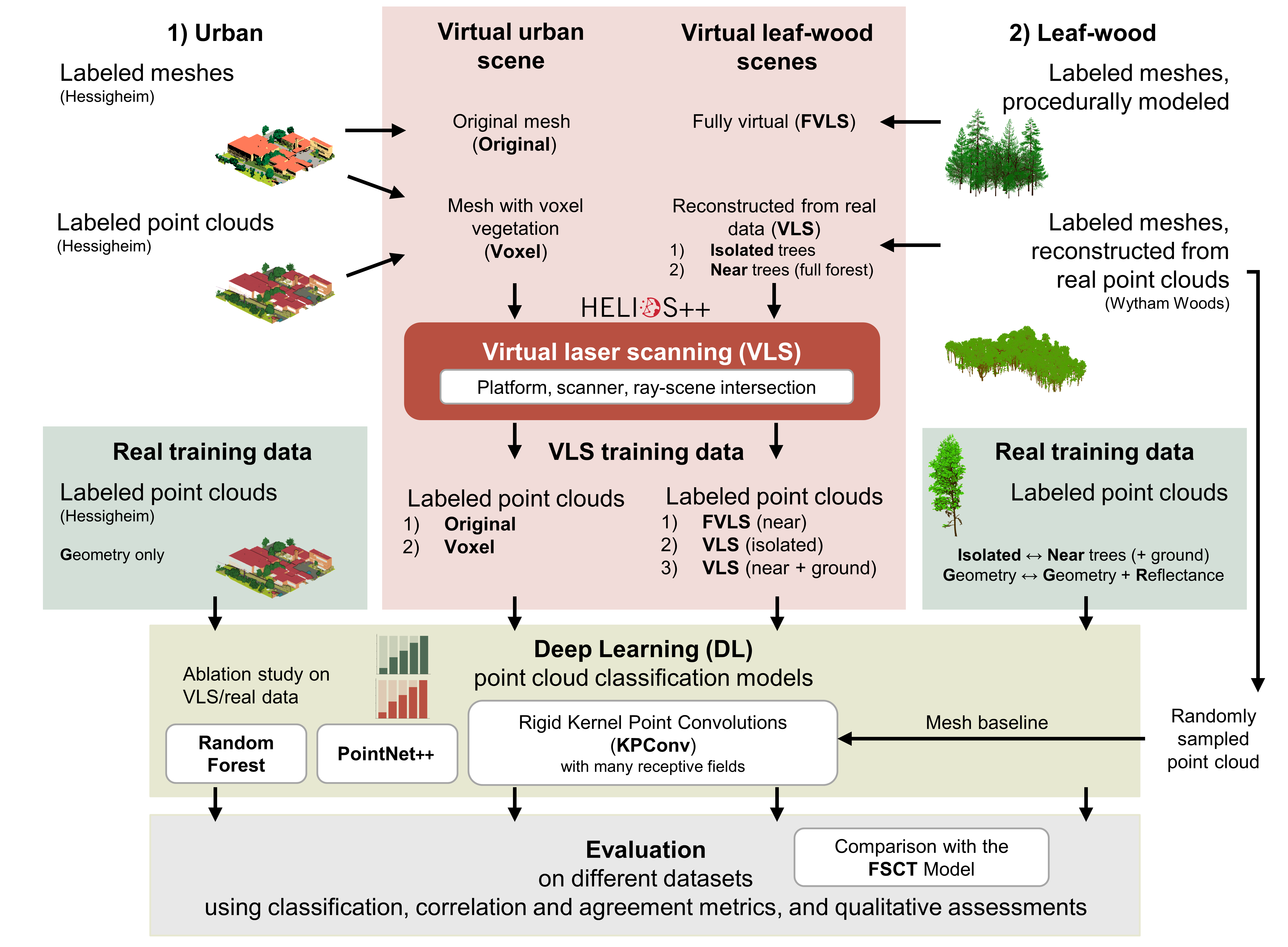
Esmorís, A.M., Weiser, H., Winiwarter, L., Cabaleiro, J.C. & Höfle, B. (2024): Deep learning with simulated laser scanning data for 3D point cloud classification. ISPRS Journal of Photogrammetry and Remote Sensing. Vol. 215, pp. 192-213. DOI: 10.1016/j.isprsjprs.2024.06.018 3D point clouds acquired by laser scanning are invaluable for the analysis of geographic phenomena. To extract information…
-
VirtuaLearn3D: New Preprint
We have published a preprint of our recent work in the VirtuaLearn3D project! Deep learning with simulated laser scanning data for 3D point cloud classification Esmorís, A.M., Weiser, H., Winiwarter, L., Cabaleiro, J.C. & Höfle, B. (2024) Laser scanning is an active remote sensing technique to acquire state-of-the-art spatial measurements in the form of 3D…
-
New paper on the potential of simulated laser scanning and field data to train forest biomass models
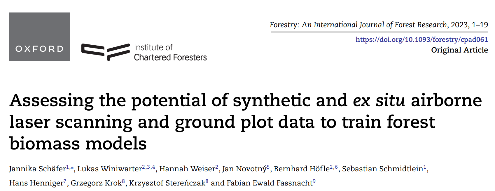
In great collaboration with colleagues from Karlsruhe (DE), Vienna (AT), Brno (CZ), Leipzig (DE), Raszyn (PL), and Berlin (DE), we published a paper investigating approaches to improve LiDAR-based biomass models when only limited sample plots with field data are available. The main work was carried out by PhD student Jannika Schäfer (IFGG, Karlsruhe Institute of…
-
🦇 Halloween release of HELIOS++, v1.3.0
We proudly present our Halloween release of HELIOS++, Version 1.3.0: https://github.com/3dgeo-heidelberg/helios/releases What’s new in this release? HELIOS++ now supports LiDAR simulation of dynamic scenes. We can now simulate laser scanning of scenes that change during the simulation. This is done by introducing rigid motions, which are defined with XML syntax in the scene XML file.…
-
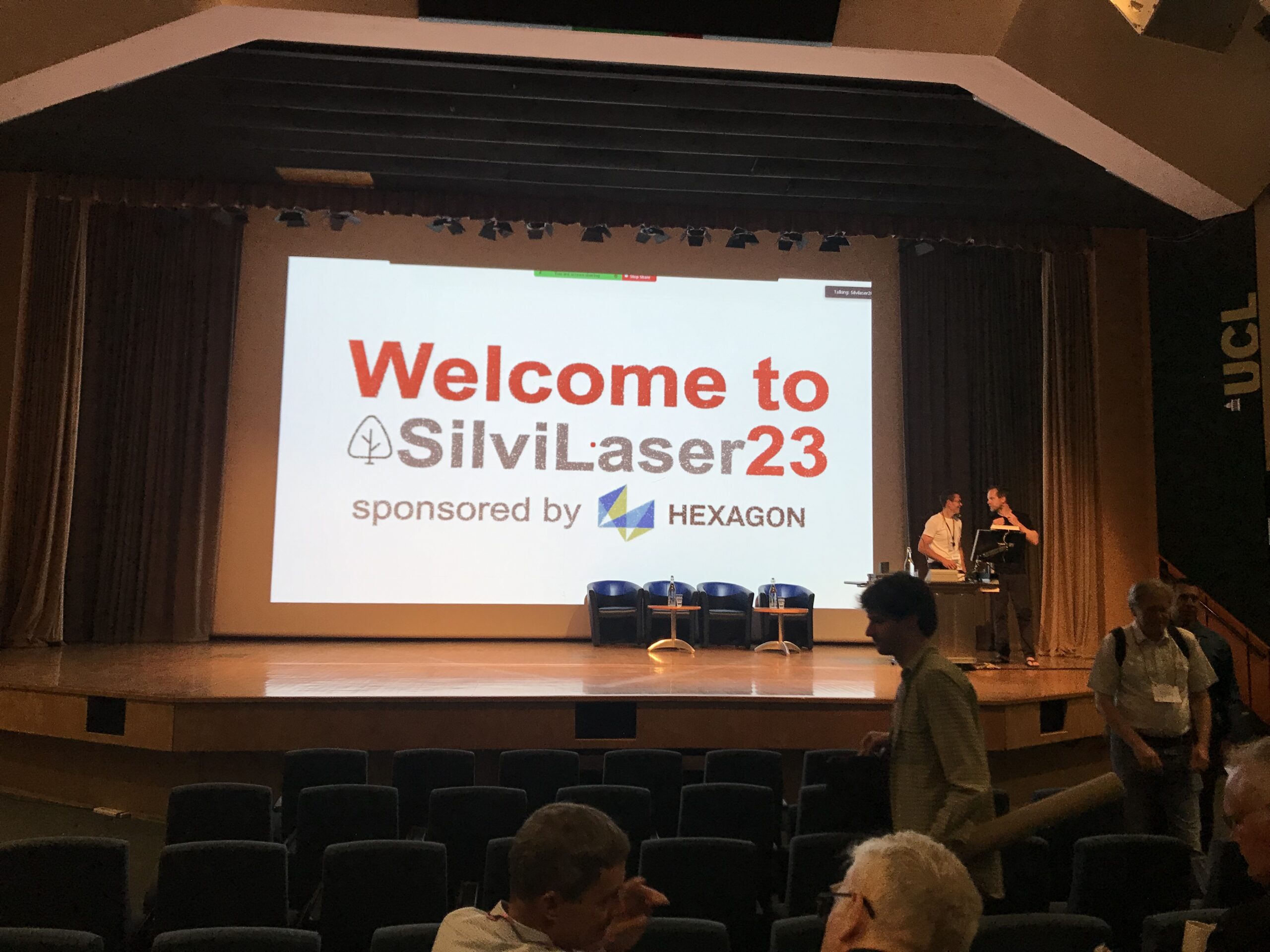
Impressions from Silvilaser 2023
Last week, our PhD student, Hannah Weiser, joined Silvilaser 2023 at University College London (UCL). The conference covers cutting-edge science and technology from the laser scanning and forest communities, which is a perfect match for Hannah’s PhD topic and 3DGeo research in general. The week started off with interesting workshops on Tuesday using some of…
-
Improved Performance of HELIOS++ using High Performance Computing Techniques
The software HELIOS++ simulates the laser scanning of a given virtual scene that can be composed of different spatial primitives and 3D meshes with distinct granularity. The high computational cost of this type of simulation software demands efficient computational solutions. Classical solutions based on GPU are not well suited when irregular geometries compose the scene…