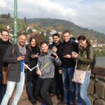
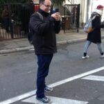
On Thursday 27 October 2016 the CAP4Access team from GIScience group of Heidelberg university organised a Wheelmap mapping event for SAP volunteers in the course of the “SAP month of service“. Volunteers of SAP already supported us in merging volunteered accessibility data (from Wheelmap.org) and expert accessibility data (from Heidelberg Hürdenlos) last year. This time SAP contributed to the improvement of Wheelmap.org at Heidelberg.
Wheelmap.org is a map for finding wheelchair accessible places and it is run by one of our CAP4Access project partners, the nonprofit organization Sozialhelden e.V.. The map is based on OpenStreetMap and works similar to Wikipedia which means that anyone can contribute and mark public places around the world according to their wheelchair accessibility.
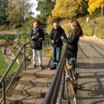
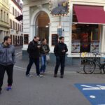
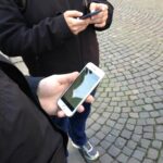
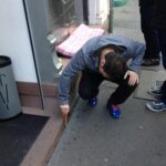
During the event, a total number of 7 SAP-volunteers performed mobile mapping using the Wheelmap App on their smartphones. Before the mapping started, the participiants made themselves familiar with the Wheelmap traffic light system, a simple and easy to understand way to rate the accessibility of public places („green” = fully, „orange” = partially, „red” = not and „grey” = unknown wheelchair accessible). Afterwards, the volunteers split into 2 groups and mapped parts of Heidelberg Neuenheim and Heidelberg Altstadt that still had many unmarked places.
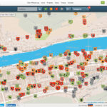
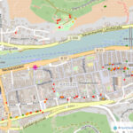
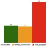
As a result of the mapping event, more than 100 public places have been marked by volunteers (cf. figures below) and checked for their up-to-dateness (not shown in figures).
In short, the mapping event was a great success and we would like to thank all of the volunteers of SAP for their social engagement!


