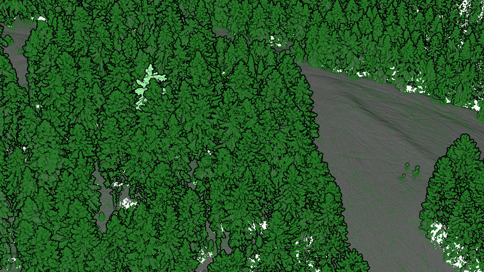
A new dataset of UAV and terrestrial laser scanning point clouds of snow-on and snow-off conditions at a Black Forest site (Hundseck, 48.643°N, 8.228°E) was published open access:
Winiwarter, L., Anders, K., Battuvshin, G., Menzel, L. & Höfle, B. (2023): UAV laser scanning and terrestrial laser scanning point clouds of snow-on and snow-off conditions of a forest plot in the black forest at Hundseck, Baden-Württemberg, Germany [data]. heiDATA. DOI:10.11588/data/UCPTP1.
The data was acquired in a joint field campaign by the research groups Hydrology and Climatology (Prof. Menzel) and 3DGeo (Prof. Höfle). The plot was captured under snow conditions in January 2021, and the acquisition was repeated under snow-off conditions in February 2021. Terrestrial laser scanning (TLS) point clouds were acquired as reference to UAV laser scanning, which provides a fast way to capture the forest scene at high spatial detail and accuracy. Check out the point clouds in our web viewer: https://3dweb.geog.uni-heidelberg.de/potree/scenes/hundseck.html
The data can be used to assess snow depths in the observation period, as well as the topography and vegetation structure. The thesis of Thomas Scharffenberger used the data to investigate influences of tree structure and topography on sub-canopy snow depth. This research demonstrates a strong link of snow depth to the distance of the stem. Overall, snow depth in the forest is linked to a broad range of variables, among them structure of vegetation, forest stand density, topographic conditions as well as potential solar radiation to reach the forest floor – a highly complex situation which needs further investigations with such valuable data.


