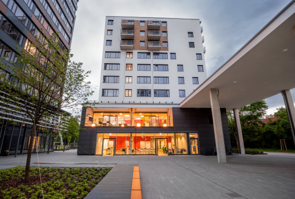
Many pressing problems of our time – climate change, aging societies, questions of modern medicine – cannot be solved by one discipline alone. It is becoming ever more urgent for scholars to collaborate across disciplines – natural sciences, life sciences, and social sciences, law, and humanities. The Marsilius Kolleg at Heidelberg University is an institutional solution to this situation, bringing together scholars from all disciplines of the university as well as from the surrounding non-university research institutions.

Following the recommendation of the Marsilius Kolleg Selection Committee, the Rectorate of Heidelberg University appointed the new academics as Marsilius Fellows for the Marsilius Fellow Class of 2021/2021. Among them is Prof. Alexander Zipf. He joined up with Prof. Till Bärninghausen from the Heidelberg Institute of Global Health (HIGH) for a joint Marsilius project on
“Climate Change and Health: Improving health care for vulnerable populations in Africa through spatially high-resolution monitoring of the natural and anthropogenic environment”
Climate change is currently the greatest challenge facing humanity. The associated changes in the environment also have a major impact on people’s wellbeing and health. This also has implications for the design of the health system, and in particular for measures to address these effects in the most affected and vulnerable population groups. The health effects of climate change caused in the rich countries of the world are particularly severe in sub-Saharan Africa. Comprehensive and spatially particularly high-resolution data on the natural, built and social environment and the change in the same in these regions are necessary in order to draw scientifically reliable conclusions and to develop and implement countermeasures. Unfortunately, the data situation in these areas is often very poor and there is a need for new concepts to generate high-quality, spatially high-resolution but at the same time potentially very large areas of Africa covering data as a basis for analyzes and modeling in the field of global health. In this Marsilius project, we want to use the example of modeling and measurement of heat and heat stress and related factors to evaluate and validate various collection and simulation methods for the relevant geodata.
In particular, we want to investigate how data from different sources can be combined for this purpose: remote sensing, crowdsourcing and user-generated data, as well as systematic measurements and surveys. In addition to these data sources, we want to conduct small validation studies in three locations in sub-Saharan Africa to measure the extent to which large and large-scale data in small communities allow relevant statements – or whether these data sources need to be hyperlocally adapted.
This collaboration strengthens the existing collaboration between GIScience Research Group at Heidelberg University and the Heidelberg Institute for Global Health and the work at HeiGIT related to health and climate change, e.g. analysing healthcare access around the globe and especially in Africa.

(Marsilius Kolleg at Heidelberg University)
Related earlier work (selection):
- Geldsetzer, P.; Reinmuth, M.; Ouma, P. O., Lautenbach, S.; Okiro E. A.; Bärnighausen, T.; Zipf, A. Mapping physical access to health care for older adults in sub-Saharan Africa and implications for the COVID-19 response: a cross-sectional analysis. The Lancet Healthy Longevity. 2020;1(1):e32-e42.
- Exploring OSM for healthcare access analysis in Sub-Saharan Africa
- All countries of Central and South America now on Open Healthcare Access Map Open Healthcare Access Map
- A safe way through the heat: Transdisciplinary project HEAL makes everyday life easier for at-risk groups
- Exploring OSM history: the example of health related amenities
- Insights into OpenStreetMap healthcare attributes in India over time
- Analysing OSM Completeness of health facilities in Sub-Sahara Africa in ohsomeHeX
- Recent changes to OpenStreetMap healthcare infrastructure in India
- Updated OSM Healthcare in Senegal (2020)
- geoEpi – new DFG research project on spatio-temporal epidemiology of emerging viruses
- Accessibility to pharmacies in Germany with 15km Covid-19 restriction
- Accessibility of covid-19 vaccination centers in Germany
- DeepVGI – Deep Learning Volunteered Geographic Information
- Kick-off workshop for the research program “Innovation for adaptation to climate change” by Baden-Württemberg Stiftung
- A Web App to generate and disseminate knowledge on urban green space qualities and their accessibility
- SWR broadcast on the research project HEAL: Taking the safe route through the heat – Transdisciplinary project HEAL makes everyday life easier for at-risk groups
- geoEpi – new DFG research project on spatio-temporal epidemiology of emerging viruses
- Mapping Public Urban Green Spaces Based on OpenStreetMap and Sentinel-2 Imagery Using Belief Functions
- Assessment of health risk due to heat and fine particle matter in Germany
- Climate Protection Map Germany is Online – Share your knowledge about renewable energies and sustainability on OpenStreetMap
- MapSwipe wins Global Mobile Award for the Best Mobile Innovation Supporting Emergency or Humanitarian Situations
- HeiGIT Maps support DKFZ’s Cancer Information Service
- GIScience Colloquium talk on “Heatmapping”: Accessing Geodatabases of Building Stocks for the Development of Spatial Energy System Models by Sebastian Blömer


