

The crowdmapping app MapSwipe now integrates also street-level imagery. This new feature enables even mapping efforts that require the highest level of detail, such as detecting waste on the street.
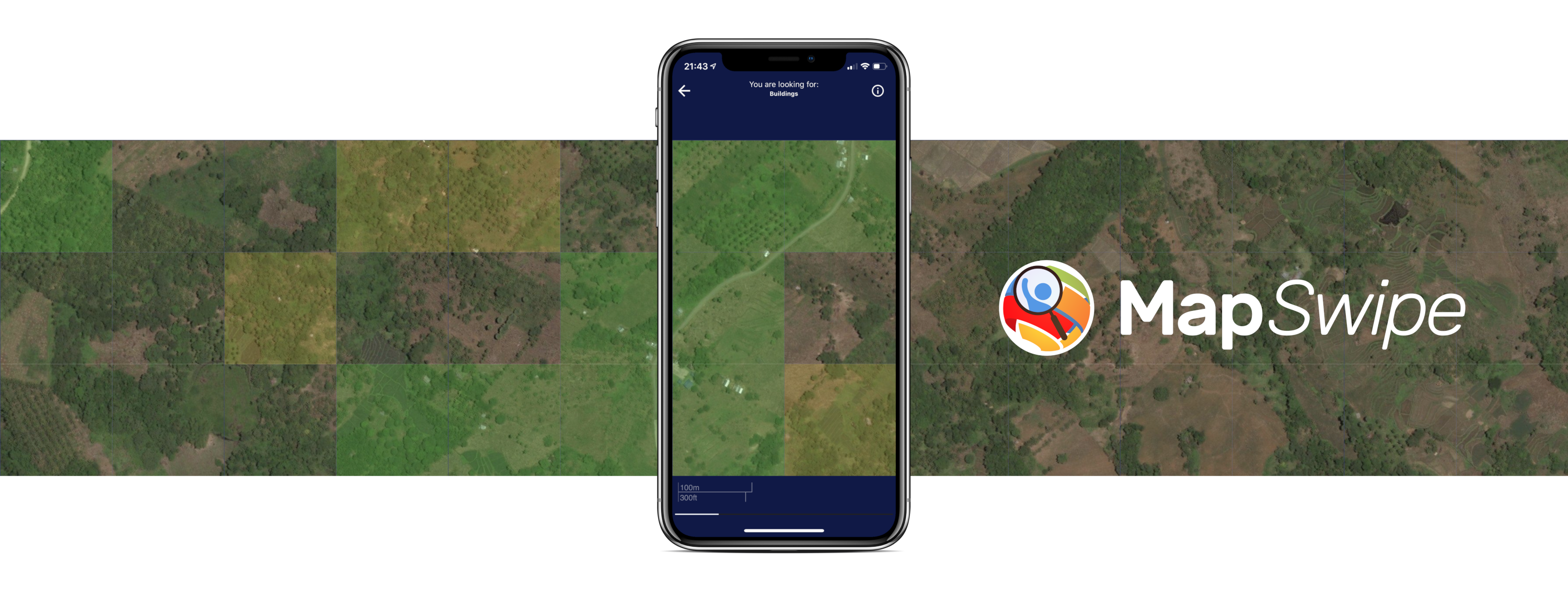
The MapSwipe App
MapSwipe is an open-source app that enables volunteers to map missing geodata, making global mapping efforts more coordinated and efficient.
Free, reliable geodata is of crucial importance in many fields, from mobility research and city planning to humanitarian efforts and disaster management. Using a simple mobile app or web app, volunteers can contribute to delivering the missing data by swiping through a series of images on their smartphones and tapping on the requested features, e. g. identifying buildings.
MapSwipe is managed by a dedicated team of volunteers, with HeiGIT´s technical support and in cooperation with the Humanitarian OpenStreetMap Team, the British Red Cross, the American Red Cross, the GIScience Research Group at Heidelberg University, and Médecins Sans Frontières.
Since its launch in 2016, MapSwipe has grown to a community of over 85,000 users who have collectively mapped over 1.3 million square kilometers. Over the years, we have been collaborating with the Humanitarian OpenStreetMap Team (HOT) to expand the app’s functionalities, adding a web app version in 2024 and developing new project types and tools.
New feature: street-level imagery
The latest version of MapSwipe allows not only for satellite images, but also includes a new project type with street-level imagery and panoramic, 360 degrees images.
Until now, MapSwipe has relied solely on satellite imagery, allowing only the mapping of infrastructure visible from above, such as buildings and roads. The recent update now includes street-view images, which offer much greater detail and significantly expand the mapping possibilities.
With this new feature, not only can volunteers contribute to identifying new objects, but also to enriching existing objects with valuable attributes (e.g. road conditions, building use) or to collect perceptions, e.g. on the greenness or the safety of an area.
Users can remotely classify roads or identify building amenities and other environment characteristics, answering questions such as “Is this road paved?”, “Is there litter lying around?” or “Is there a health facility?”.
At present, this new MapSwipe feature uses street-level images from Mapillary, but any available imagery can be integrated and other image providers might be added in the future.
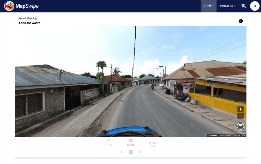
Use MapSwipe to find waste piles in imagery of the streets of Dar es Salaam (Tanzania) captured by OpenMap Development Tanzania (Screenshot)
Use Case: Street Waste Detection
The new street-view imagery project type has already been used in a research project aiming at detecting waste in the streets of Dar es Salaam, Tanzania.
The area of Dar es Salaam struggles with waste disposal and the Msimbazi River that flows through the city is the most polluted in East Africa, largely due to informal waste disposal. Reliably detecting waste on the streets can help optimizing cleaning efforts and reducing health hazards linked to water contamination.
For this purpose, street-view imagery was first manually classified via MapSwipe, with users marking the images showing waste piles on the street. This classified imagery will later be used to train a model for image recognition, in order to make an automatic recognition possible and ultimately scale up the waste detection.
The project has been carried out in collaboration with OpenMap Development Tanzania, which provided the needed street imagery.
Outlook
MapSwipe has countless other potential applications. “With street-level imagery, we are getting up close and personal with the landscape,” said Nicole Siggins, Tech Lead for Partner Engagement at HOT. “This level of detail is invaluable for projects like disaster response planning, urban development, and environmental monitoring.”
In addition to expanding the app´s possible use cases, we keep working on advancing MapSwipe´s software. In the future, we aim at further increasing its efficiency and precision, e. g. by integrating AI methods.
If you want to know more about MapSwipe, or if you would like to use it for your own project, contact us at humanitarian@heigit.org.
To keep up with future developments and releases related to this project as well as other efforts to advance geospatial technology in the mobility, humanitarian aid, and data analytics space, follow our social media channels and stay up to date on our blog.
Related publications:
Steffen Knoblauch, Levi Szamek, Jonas Wenk, Iddy Chazua, Innocent Maholi, Maciej Adamiak, Sven Lautenbach, and Alexander Zipf. 2024. UAV-Assisted Municipal Solid Waste Monitoring for Informed Disposal Decisions. In Proceedings of the 2024 International Conference on Information Technology for Social Good (GoodIT ’24). Association for Computing Machinery, New York, NY, USA, 105–113. https://doi.org/10.1145/3677525.3678649
Related blogposts:
- The new MapSwipe Web App is here!
- HeiGIT and GIScience at AGILE 2023
- Paper presentation at AGILE: “Exploring MapSwipe as a Crowdsourcing Tool for (Rapid) Damage Assessment: The Case of the 2021 Haiti Earthquake”
- MapSwipe is App of the Day in Apple AppStore
- MapSwipe wins Global Mobile Award for the Best Mobile Innovation Supporting Emergency or Humanitarian Situations
- MapSwipe 2.0: Reimagining how a mobile app can support humanitarian response worldwide
- MapSwipe for Change Detection Analysis
- Put the world’s most vulnerable people on the map with MapSwipe